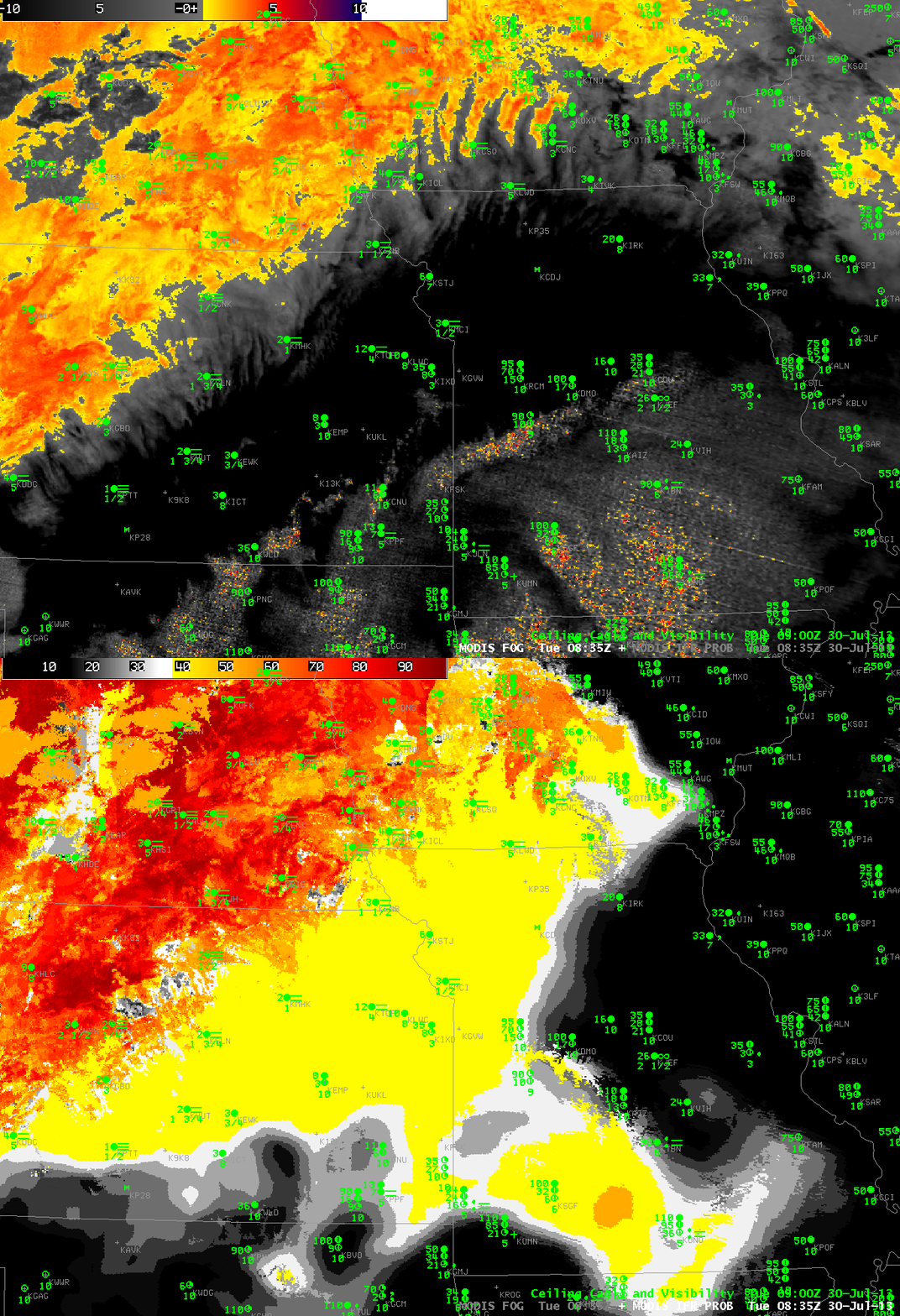
MODIS Brightness Temperature Difference and MODIS-based GOES-R IFR Probabilities, 30 July 2013, 0835 UTC
The toggle above switches between a brightness temperature difference field and a GOES-R IFR Probability field (both from MODIS) over Missouri and Kansas (including the busy airport in Kansas City). The cirrus shield over the convective complex over Missouri obscures any satellite view of low clouds. North and west of that cirrus shield, over Nebraska, Kansas and Iowa, the brightness temperature difference indicates clouds comprised of water droplets (that is, stratus or fog). Ceilings and visibilities underneath the cirrus canopy, and within the stratus deck show regions of IFR conditions. Rapid Refresh model data that is part of the GOES-R IFR Probability algorithm is able to alert a viewer (or forecaster) to the possibility of Fog/Low stratus in areas underneath the cirrus. Probabilities under the cirrus canopy are lower because satellite-based predictors are not used in the computation of probabilities.
