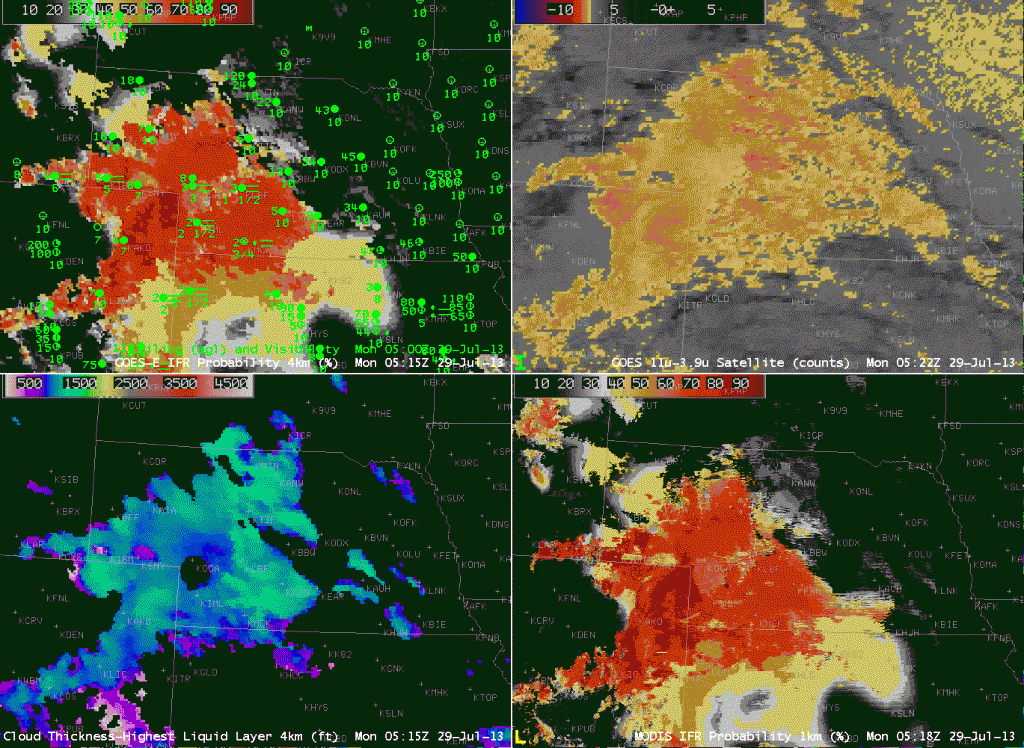
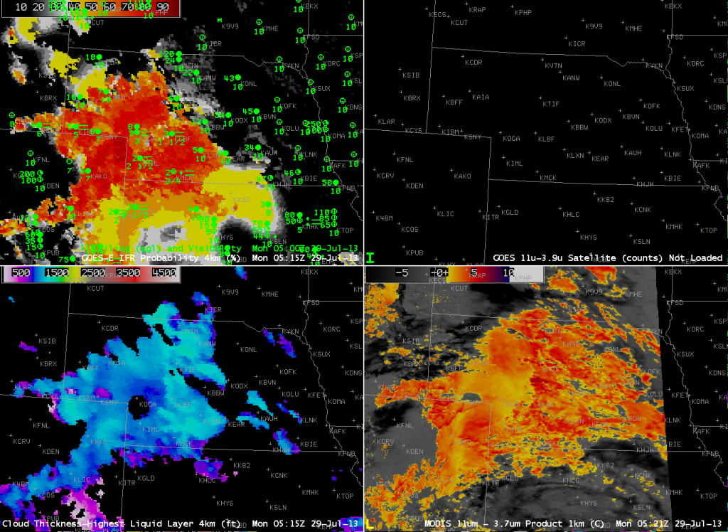
Fog and low stratus developed over the High Plains under easterly (upslope) flow in the early morning hours of July 29, 2013, and the GOES-R IFR Probability fields ably discriminated between regions of stratus and visibility-restricting low stratus/fog. Note in the imagery above how the Brightness Temperature Difference field (upper right) includes a strong signal over eastern Nebraska where visibility restrictions/low ceilings are not present. Fusing the satellite data with Rapid Refresh model data allows the MODIS and GOES-based GOES-R IFR Probability fields to more accurately depict the regions of low visibilities/ceilings. Note that the brightness temperature difference product from MODIS, below (Lower Right), also highlights the mid-level stratus over eastern Nebraska.


