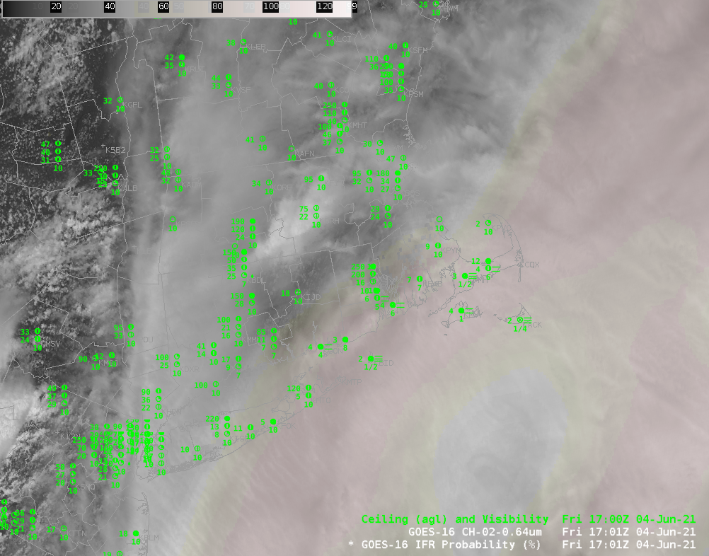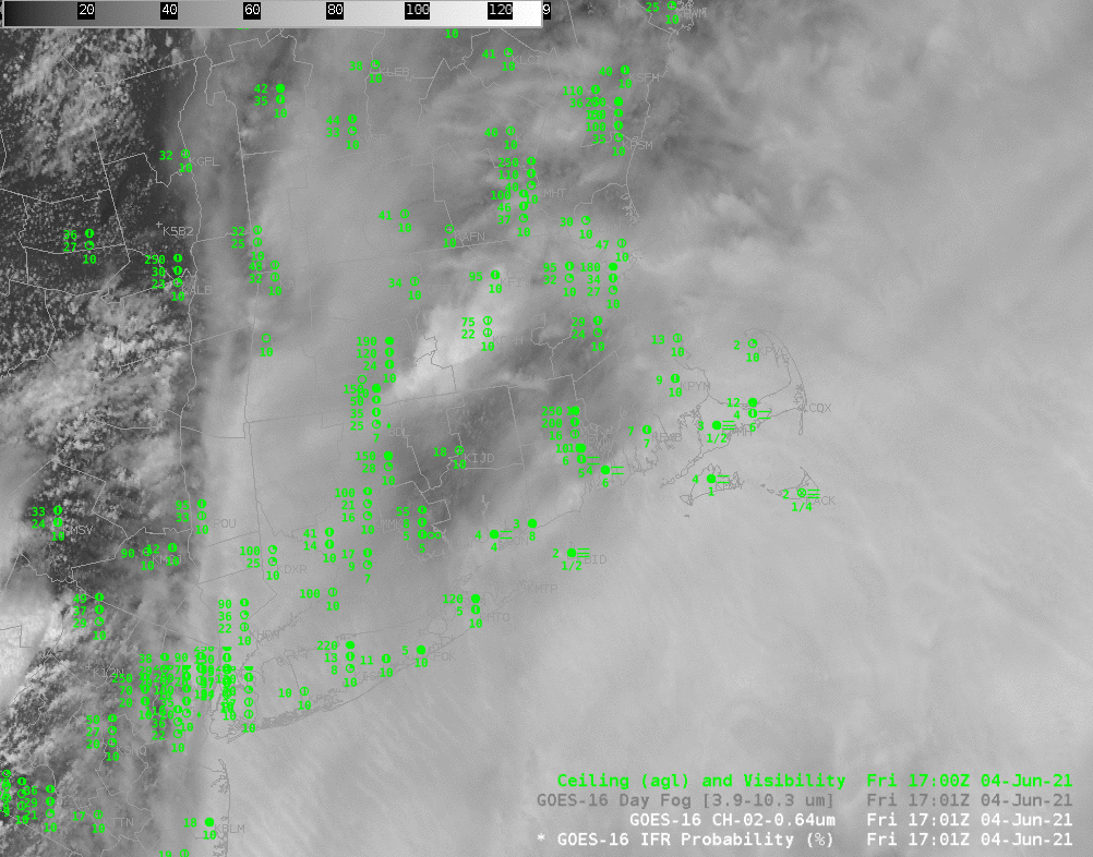
Mid-day observations over southeastern New England (and the offshore islands) show widespread fog. The toggle above shows mid-day visible imagery and GOES-16 IFR Probability. It’s very difficult to assess from the satellite imagery (especially on a day such as 4 June when high clouds are also present) alone where the reduced visibilities sit. Because IFR PRobability includes information on low-level saturation from the Rapid Refresh model, a better estimate of the horizontal extent of fog results. High IFR Probability values are widespread along the south coast of New England and the offshore islands where IFR and Low IFR conditions were observed. IFR Probability is a useful Situational Awareness tool. It can also be useful to load the imagery such that the IFR Probability is underneath a semi-transparent visible image, as shown below.