 |
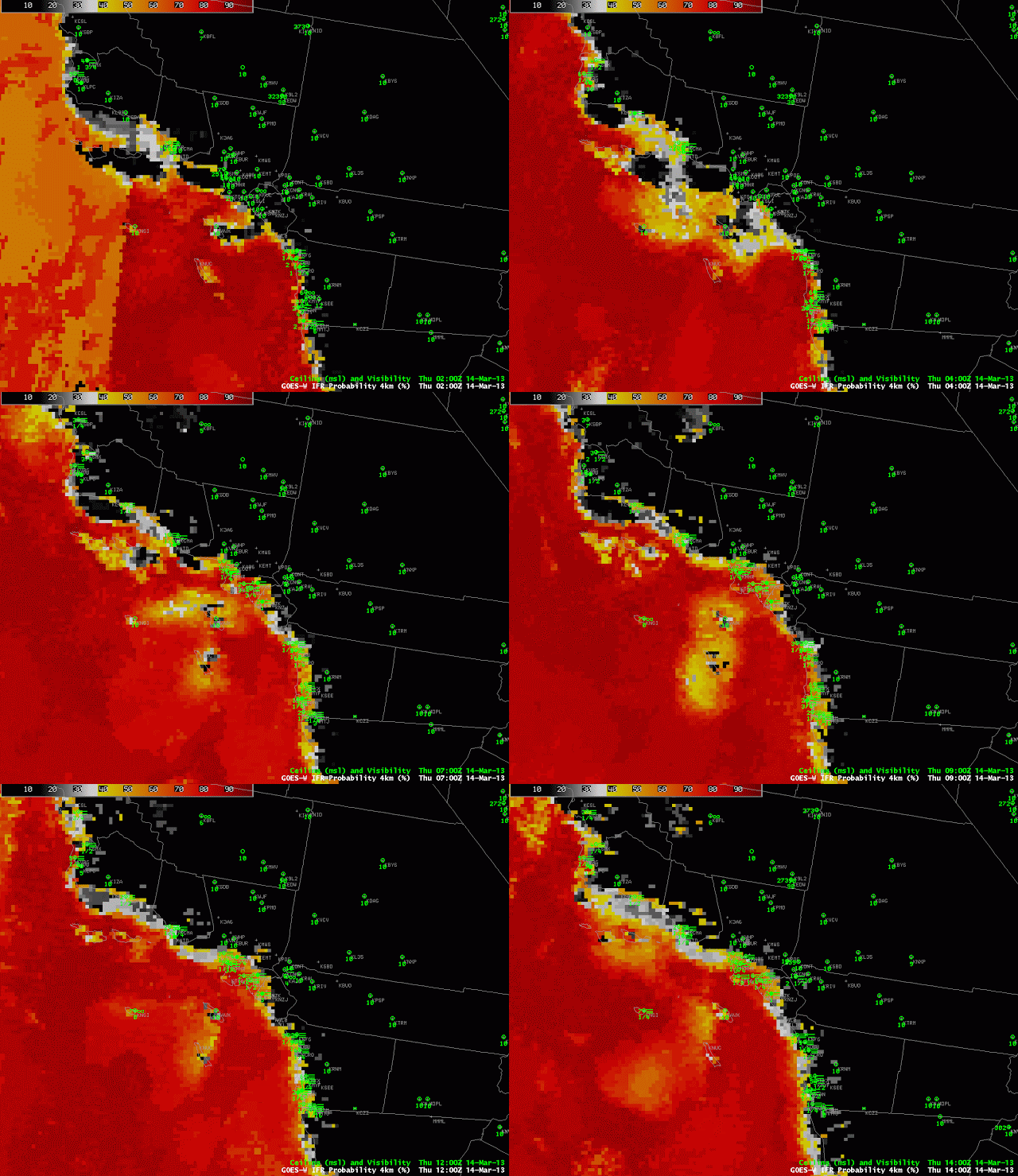
| Hourly imagery of GOES-R IFR Probability computed from GOES-West, from 0200 UTC through 1400 UTC 14 March 2013 |
Hourly imagery of GOES-R IFR Probability from the overnight/early morning of 14 March 2013 shows the typical advance inland of stratus along coastal southern California. Several aspects of this loop bear mention. In the 0200 UTC, the division between daytime predictors (to the left) and nighttime predictors (to the right) is evident extending mostly north-south over the Ocean. Visibilities at Los Angeles International Airport (LAX) drop to IFR conditions as the diagnosed IFR probabilities push inland. Note also the good relationship between high probabilities and low visibilities along the coast north of San Diego.
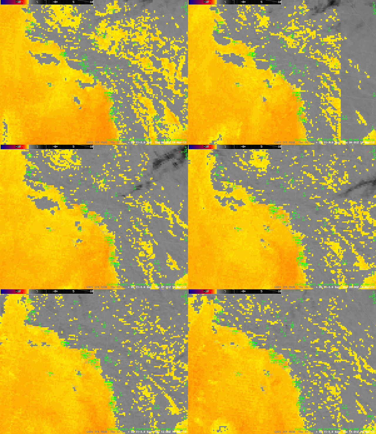
There is a push inland of higher probabilities at 1000 UTC in the loop above that is not well reflected in the observations. This occurs because of stray light contamination in the brightness temperature difference channel that is obvious in the animation below. Note also how the many ‘false positives’ in the brightness temperature difference product over land in Southern California, differences that are attributable to emissivity differences in the surface, not to the presence of liquid water clouds, are effectively screened out in the GOES-R IFR Probability product.

