Late-in-the-day rains followed by clearing skies and light winds set the stage for radiation fog over much of western Tennessee early on April 5th. The GOES-R Cloud Thickness product allows forecasters to estimate when radiation fog will burn off.
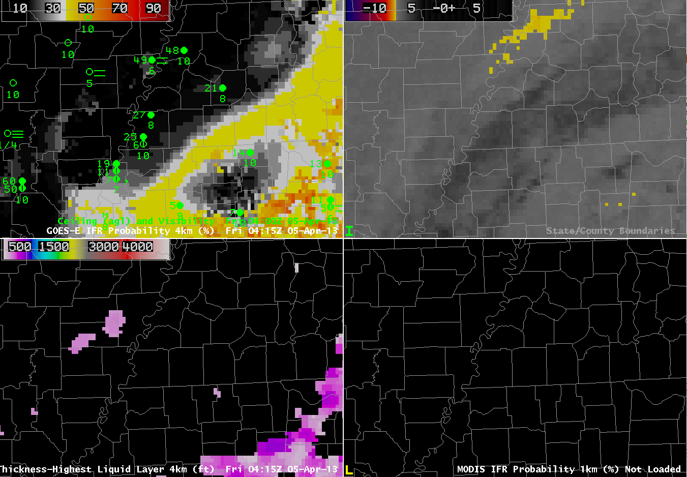 |
| GOES-R IFR Probabilities computed with GOES-East data (Upper left), GOES-East traditional brightness temperature difference (Upper right), GOES-R Cloud Thickness Product (Lower Left), GOES-R IFR Probabilities computed with MODIS data (Lower right), hourly from 0415 UTC through 1115 UTC on April 5th 2013. |
The animation above shows the retreat of rain clouds to the south and east, and the development of radiation fog. The IFR Probabilities around 0815 UTC — both GOES and MODIS — suggest a separation between the low stratus that is over Mississippi and Alabama and the fog over western Tennessee (the stratus shifts eastward and the radiation fog quickly develops).
GOES-R Cloud Thickness can be used to predict when a radiation fog will burn off, using this chart and the final pre-twilight cloud thickness field (Cloud thickness is not computed during twilight conditions). The last cloud thickness field image produced is shown below:
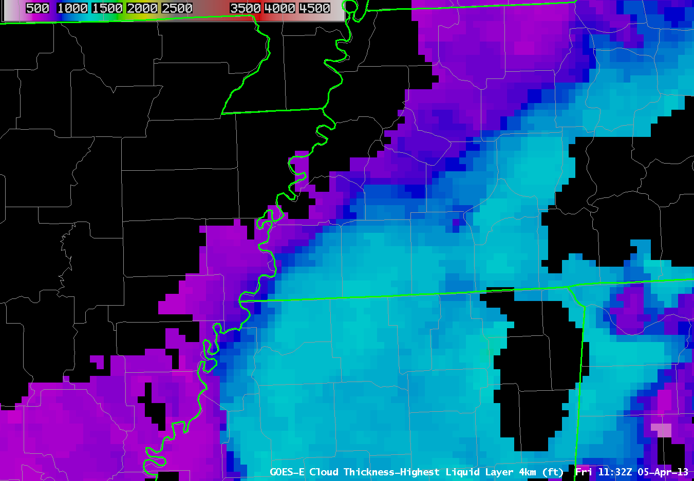 |
| GOES-R Cloud Thickness, Friday 5 April 2013 at 1132 UTC |
Fog/Cloud Thickness is greatest, a bit more than 1100 feet, in Fayette County just east of Memphis and in Henderson and Chester Counties a bit farther to the east and north. Scatterplot points on the chart suggest that the fog could burn off in 3 or so hours after the 1132 UTC image above. The visible loop animation, below, shows fog has cleared by 1432.
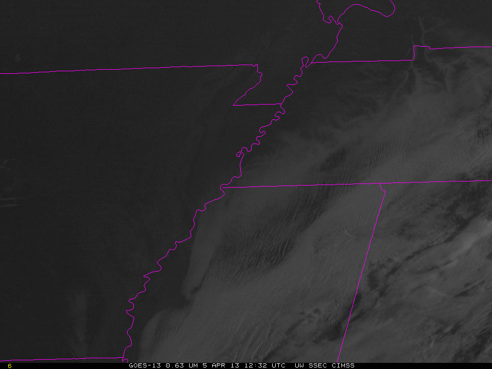 |
| Visible imagery animation, 1232-1432 UTC on April 5 2013 |