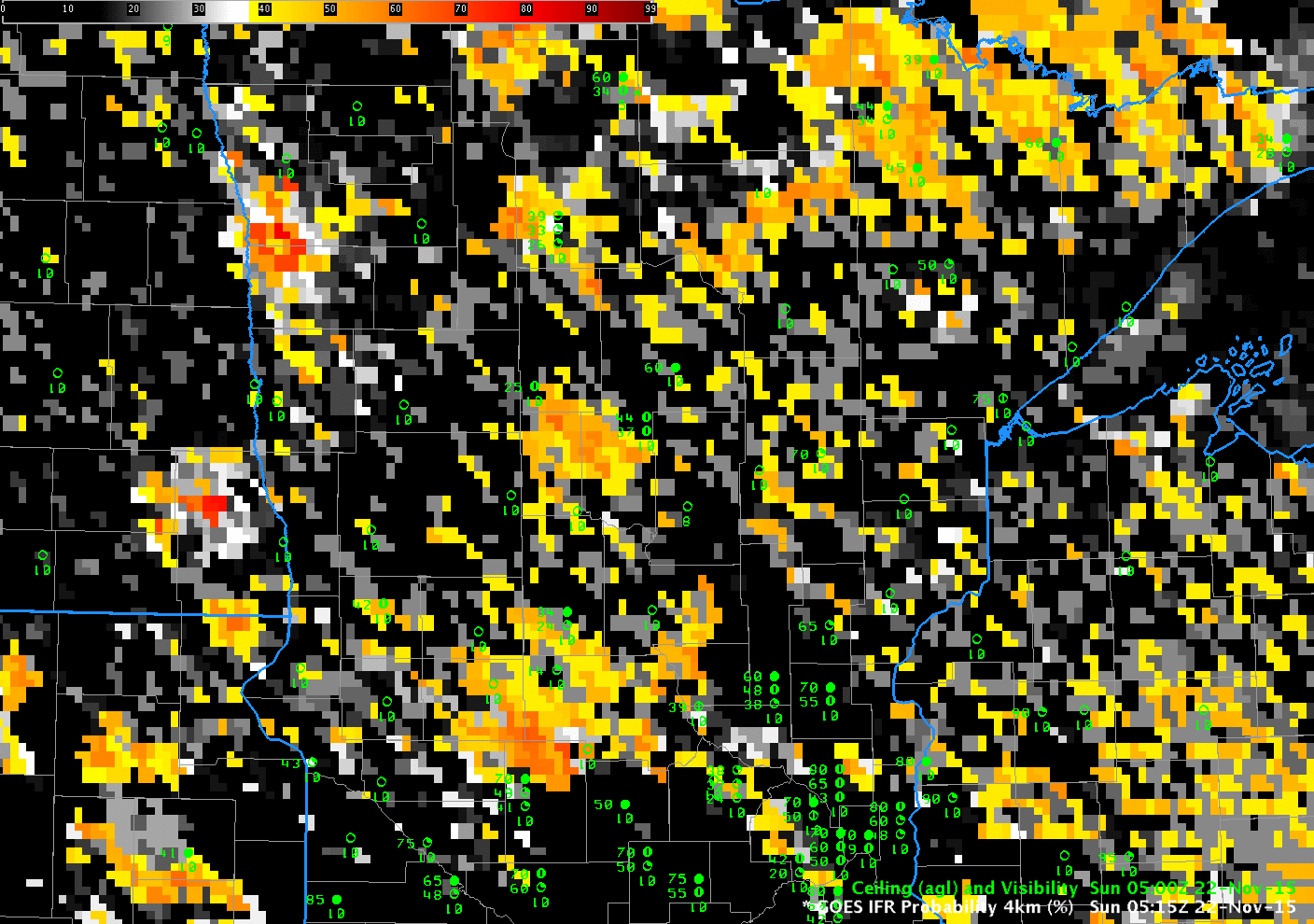
GOES-R IFR Probability fields, hourly from 0515 through 1300 UTC on Sunday 22 November 2015 (Click to enlarge)
On Sunday 22 November, fog developed over west-central Minnesota with sub-freezing temperatures on the ground. The animation of the GOES-R IFR Probability fields, above, shows the slow enlarging of highest probabilities in the region around Glenwood and Alexandria where IFR Conditions were observed.
The Brightness Temperature Difference fields, below, show a signal over much of the region. One of the benefits of GOES-R IFR probability fields is that the use of Rapid Refresh model output screens out regions where mid-level stratus is more likely. Only regions in the model that have low-level saturation show the highest IFR Probabilities. GOES-R IFR Probabilities also give a consistent signal for IFR conditions when high clouds move over a surface fog. At the end of the animation above, probabilities decrease somewhat in regions over western Minnesota where high clouds are encroaching. Those high clouds prevent the brightness temperature difference field, below, from detecting surface fog.
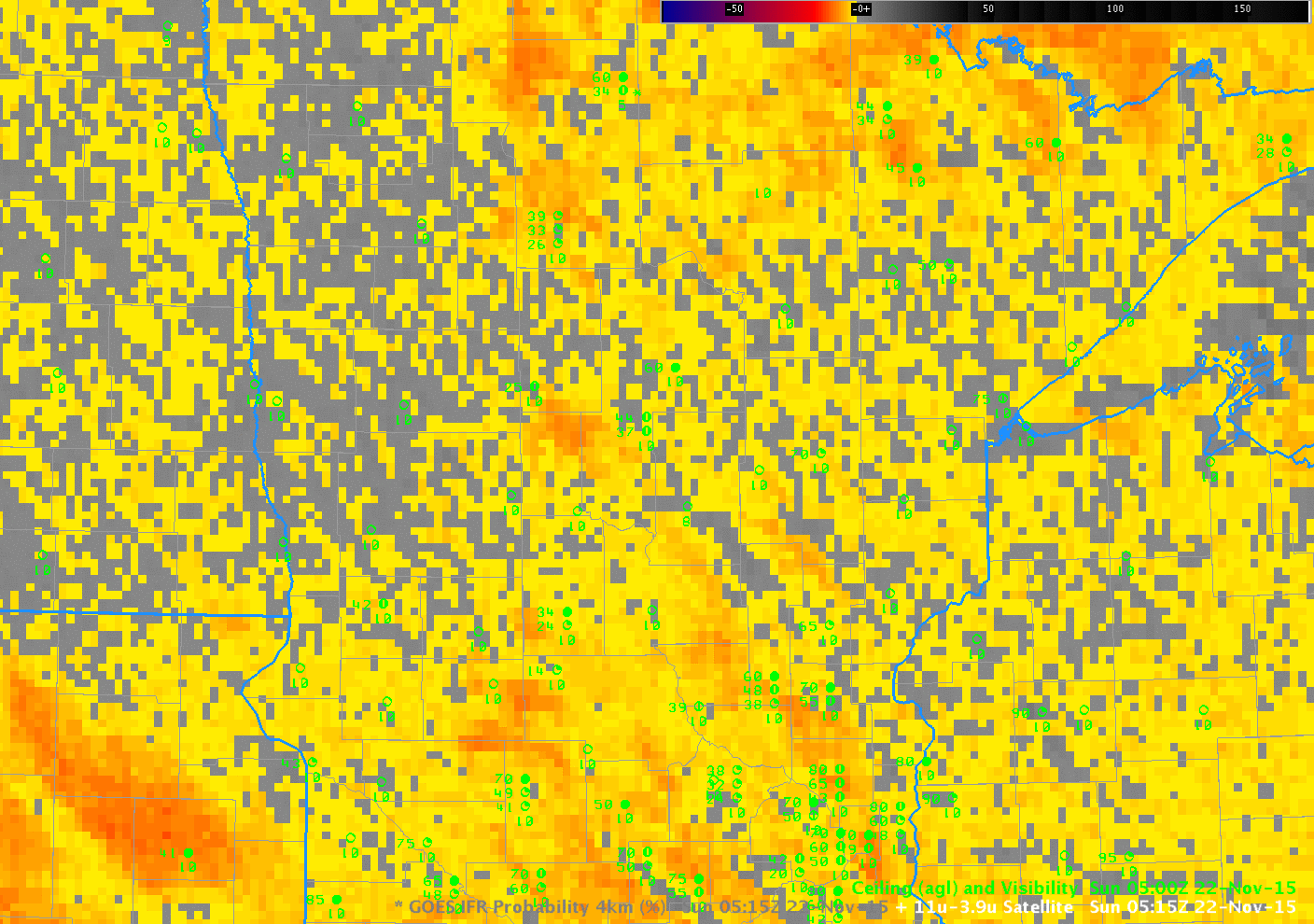
GOES-13 Brightness Temperature Difference Fields (10.7µm – 3.9µm), hourly from 0515 through 1300 UTC on Sunday 22 November 2015 (Click to enlarge)