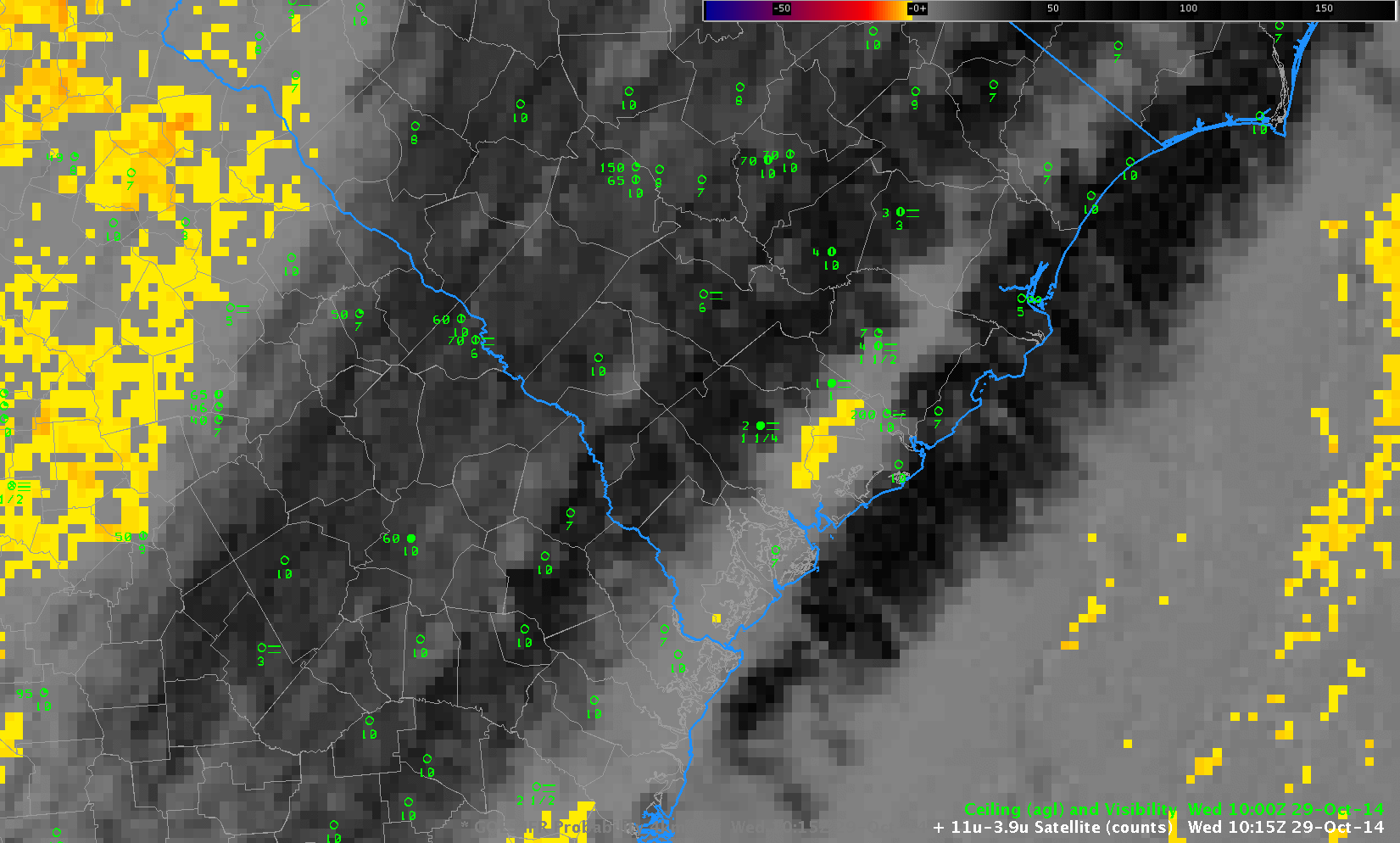
Toggle between GOES-13 Brightness Temperature Difference (10.7µm – 3.9µm) and GOES-based GOES-R IFR Probabilities at 1015 UTC 29 October, with ceilings and visibilities plotted (Click to enlarge)
On the morning of 28 October 2014, Fog developed over the southeast under clear skies. On the morning of 29 October, Fog developed under cirrus clouds. When cirrus clouds are present, the brightness temperature difference product gives no information on low clouds, and the GOES-R IFR Probability fields rely on model data only to provide information. The toggle above shows IFR Probability Fields that overlap the region of reduced ceilings/visibilities in coastal South Carolina. Because model data are the primary predictor used, the field is much smoother (less pixelated) than when satellite data can also be used as a predictor.