The system that produced cirrus to obscure satellite-based observations of low clouds and fog over the Southeast US on 29 October (link) had the same effect over the Northeast United States: Multiple Cloud Layers with an extratropical system will prevent satellites from identifying regions of low clouds and fog. Any kind of fog detection algorithm, then, must incorporate surface-based observations (as in a model, for example) to provide useful information when multiple cloud layers are present.
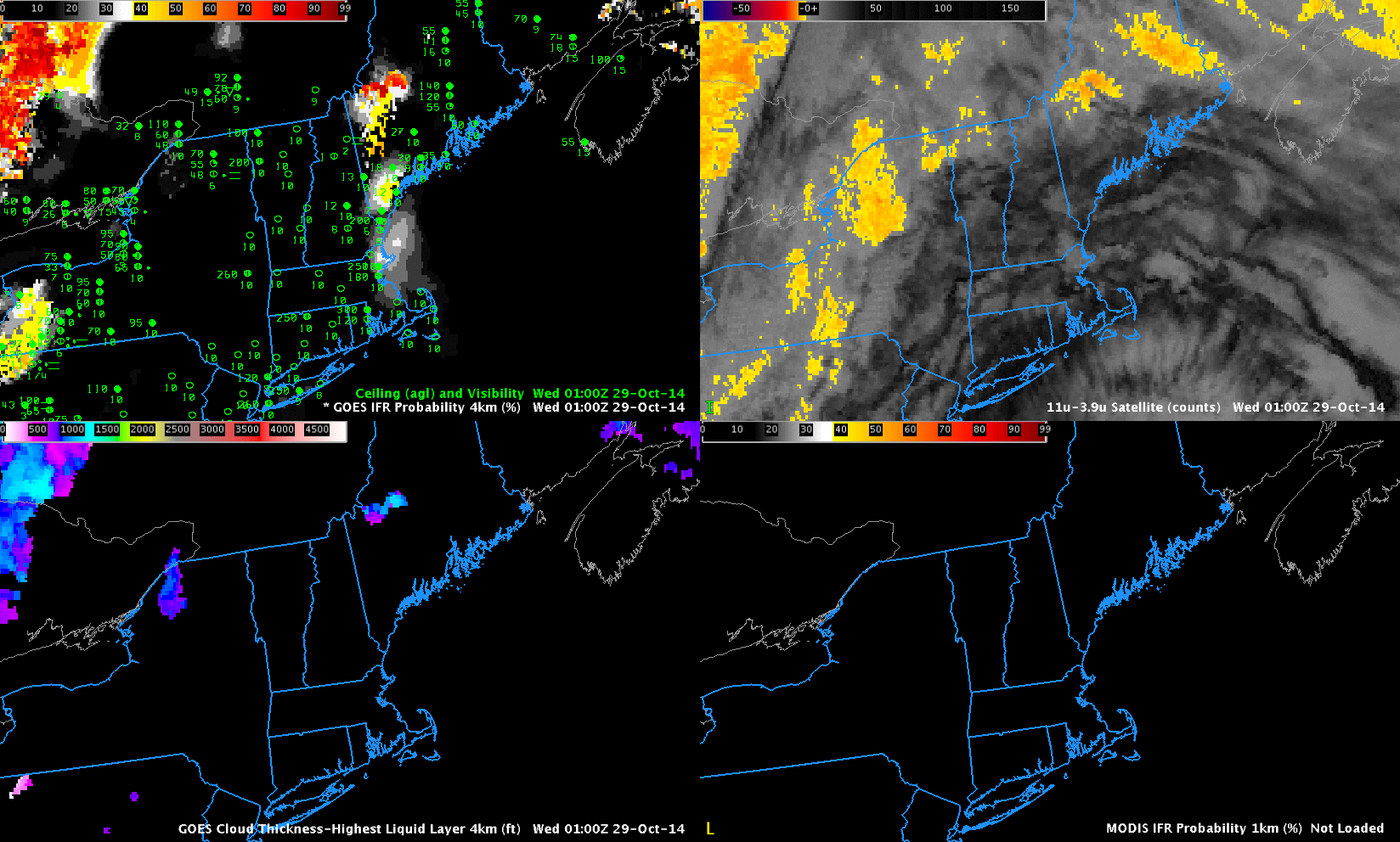
GOES-based GOES-R IFR Probabilities (Upper Left), GOES-13 Brightness Temperature Difference (10.7µm – 3.9µm) (Upper Right), GOES-based GOES-R Cloud Thickness (Lower Left), MODIS-based GOES-R IFR Probabilities (Lower Right) (Click to enlarge)
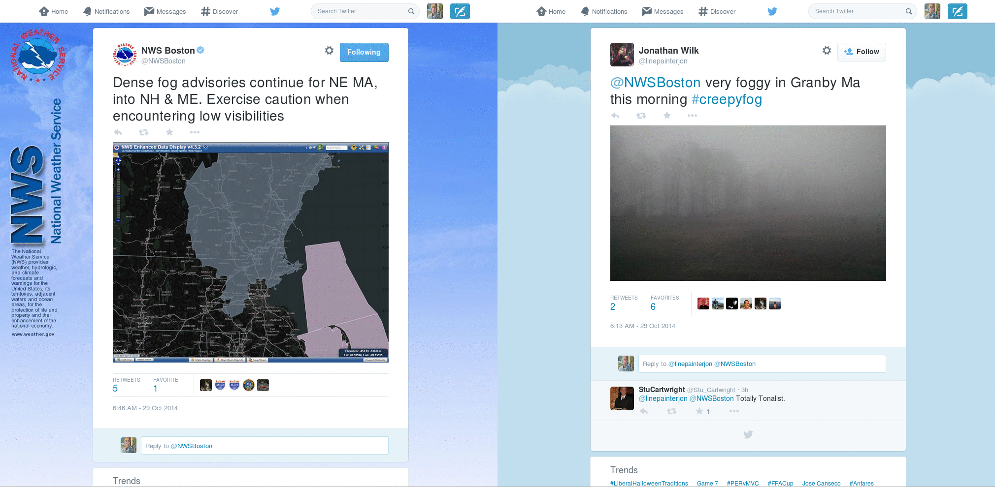
WFOs in the northeast issued Dense Fog Advisories for the morning of 29 October (and retweeted fog images from the public). (Link) The animation above shows the evolution of GOES-based GOES-R IFR Probabilities and GOES-13 Brightness Temperature Difference fields. Little information can be gleaned from the brightness temperature difference fields; however, the IFR Probability does show high probabilities where IFR and near-IFR conditions develop from coastal Massachusetts northeastward through coastal Maine. The flat character of the IFR Probability field occurs because Rapid Refresh model data are being used as predictors in the computation of IFR Probability, and those model fields do not vary quickly. When satellite data are also used — as over Quebec at the start of the animation — the IFR Probability fields have a pixelated character.
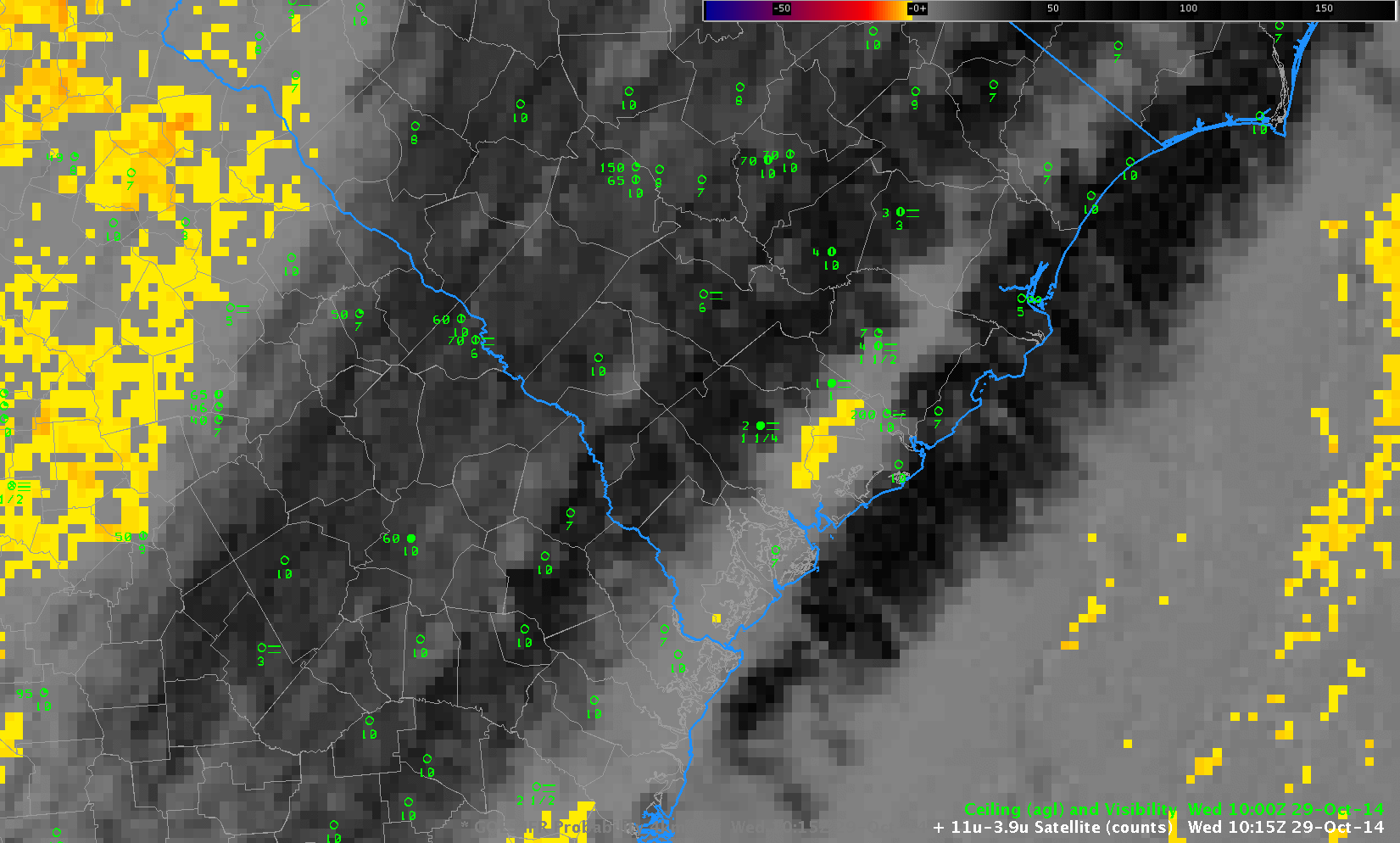
IFR Probabilities increase on the last frame of the animation. This occurs because the region becomes sunlit, and cloud-clearing abilities increase. The algorithm to compute IFR Probability therefore has greater confidence that clouds are present and probabilities increase.