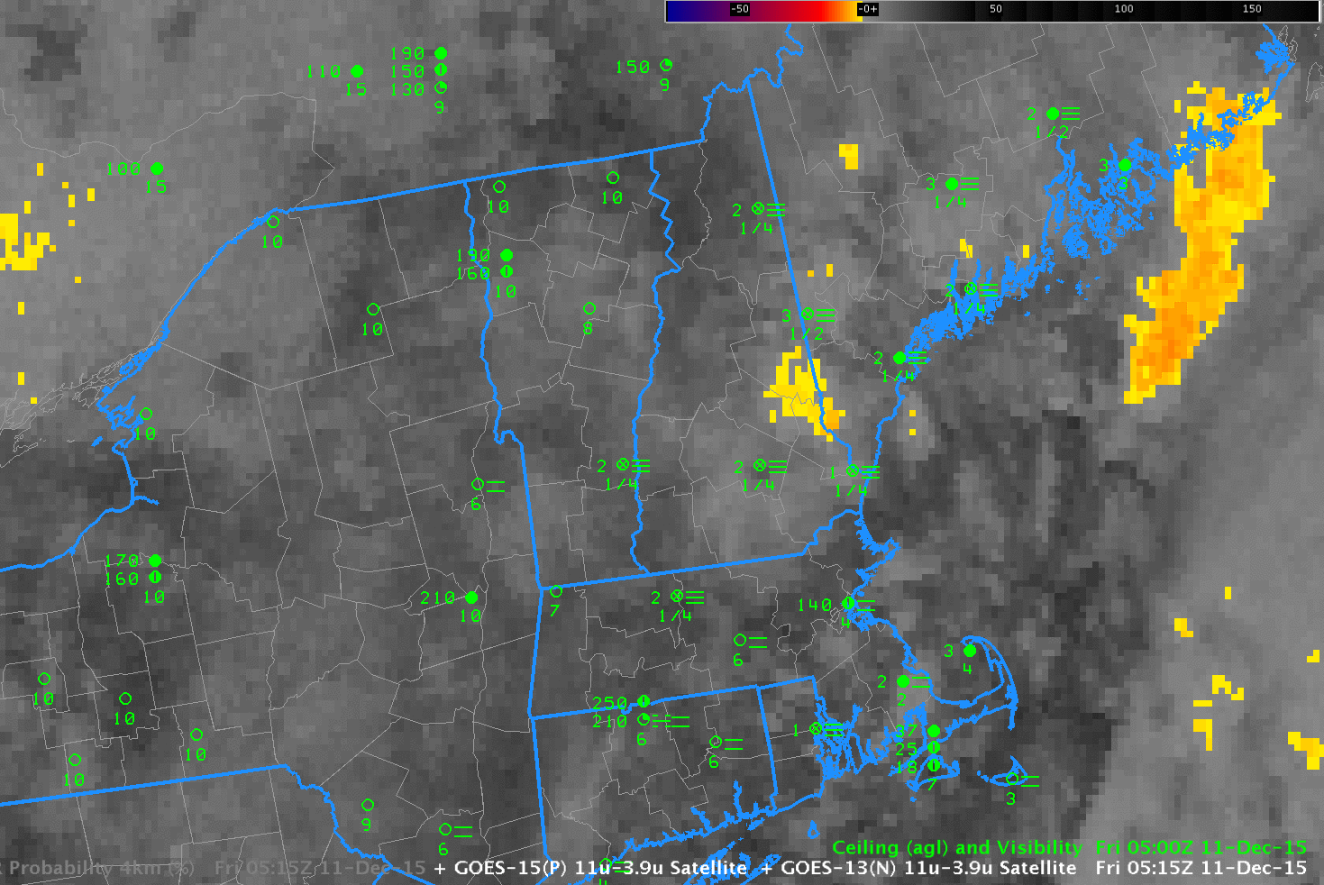
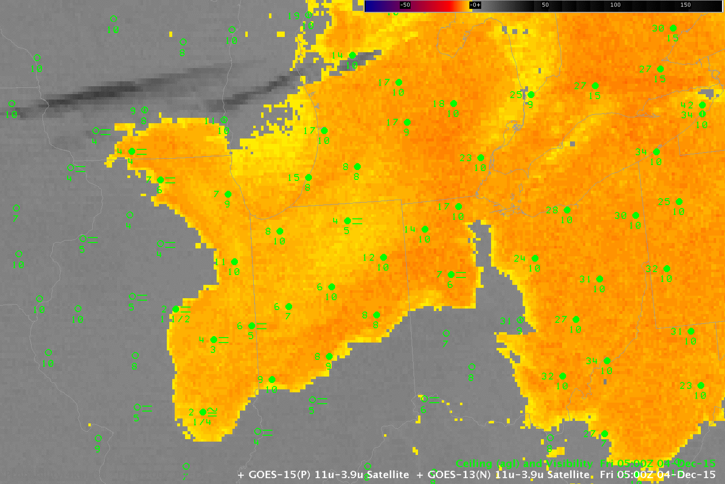
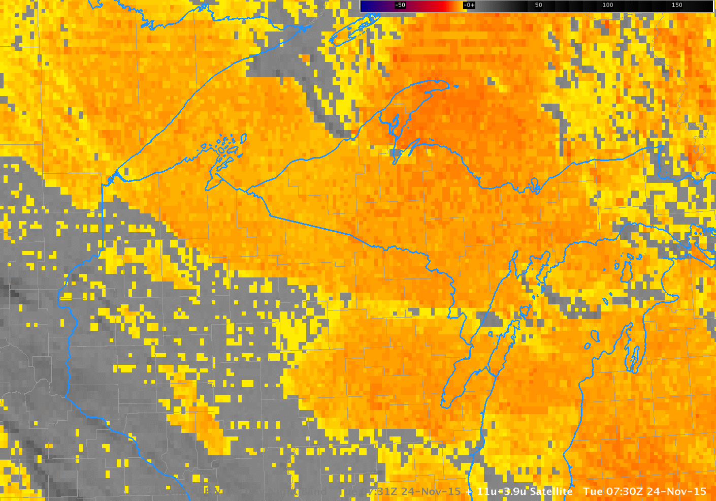
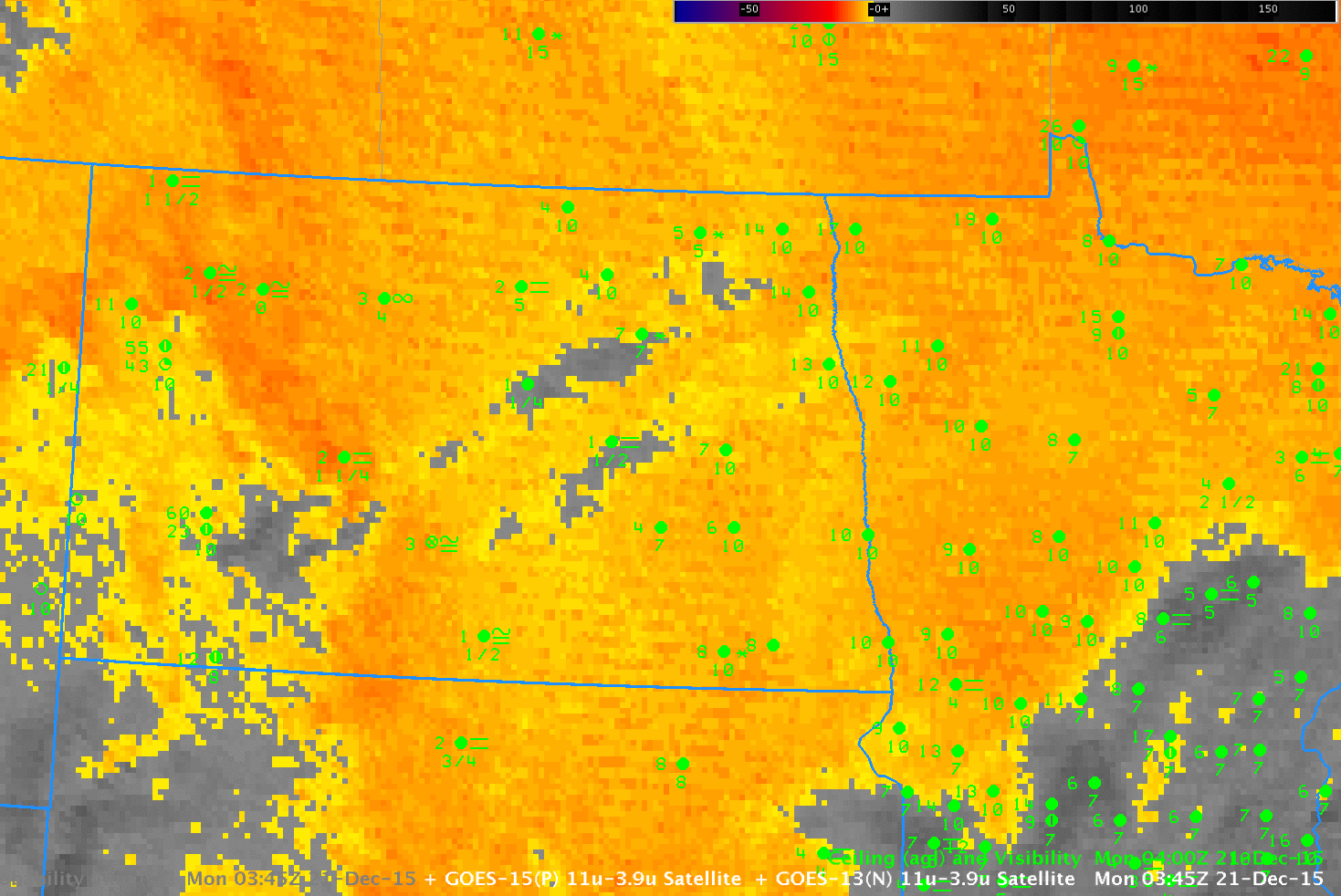
Brightness Temperature Difference (10.7 µm – 3.9 µm) from GOES highlight regions of water-based clouds: water-based clouds emit 10.7 µm radiation nearly as a blackbody does, but those clouds do not emit 3.9 µm radiation as a blackbody. Thus, the brightness temperature computed from the radiation detected by the satellite (GOES-15 in this case) — a computation that assumes a blackbody emission — is relatively cooler for the 3.9 µm data compared to the 10.7 µm data. A water-based cloud is normally stratus, and the pertinent question for aviation purposes (for example) is: Is the ceiling of that cloud near the surface? (That is: Is the stratus also a fog bank, or is it “just” mid-level stratus?)
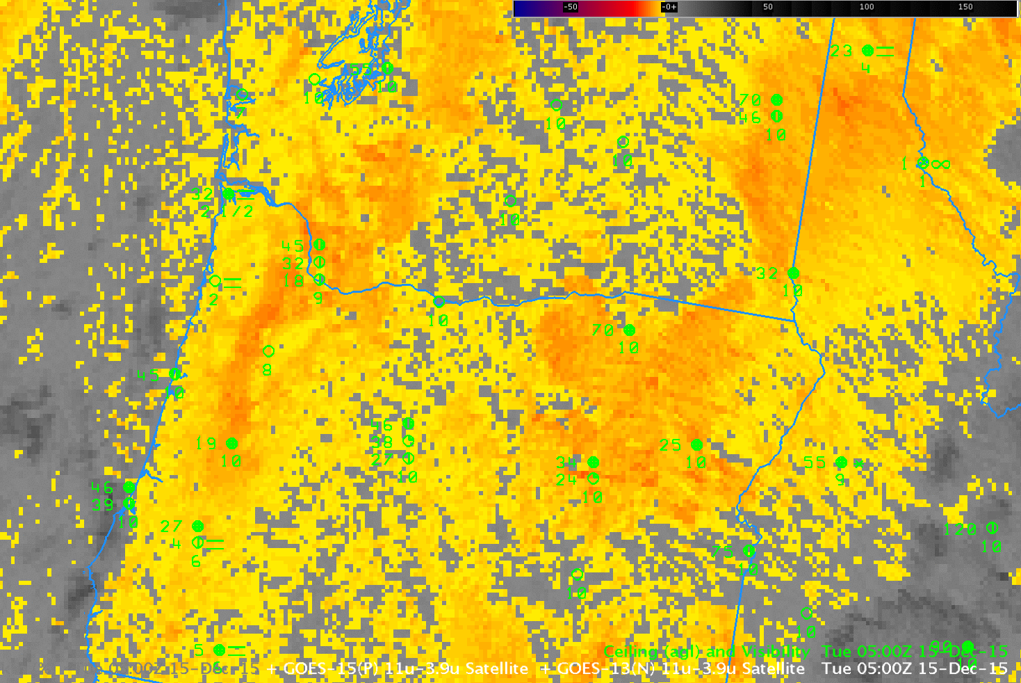
GOES-15 Brightness Temperature Difference (10.7 µm – 3.9 µm) and GOES-based GOES-R IFR Probabilities, 0500 UTC 15 December 2015 (Click to enlarge)
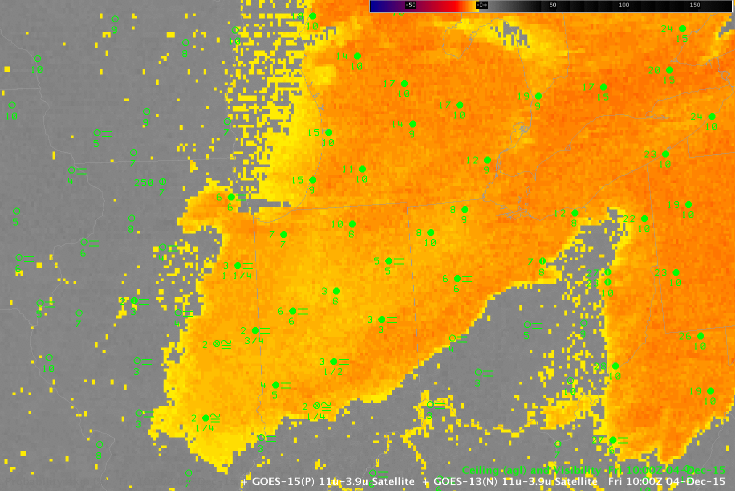
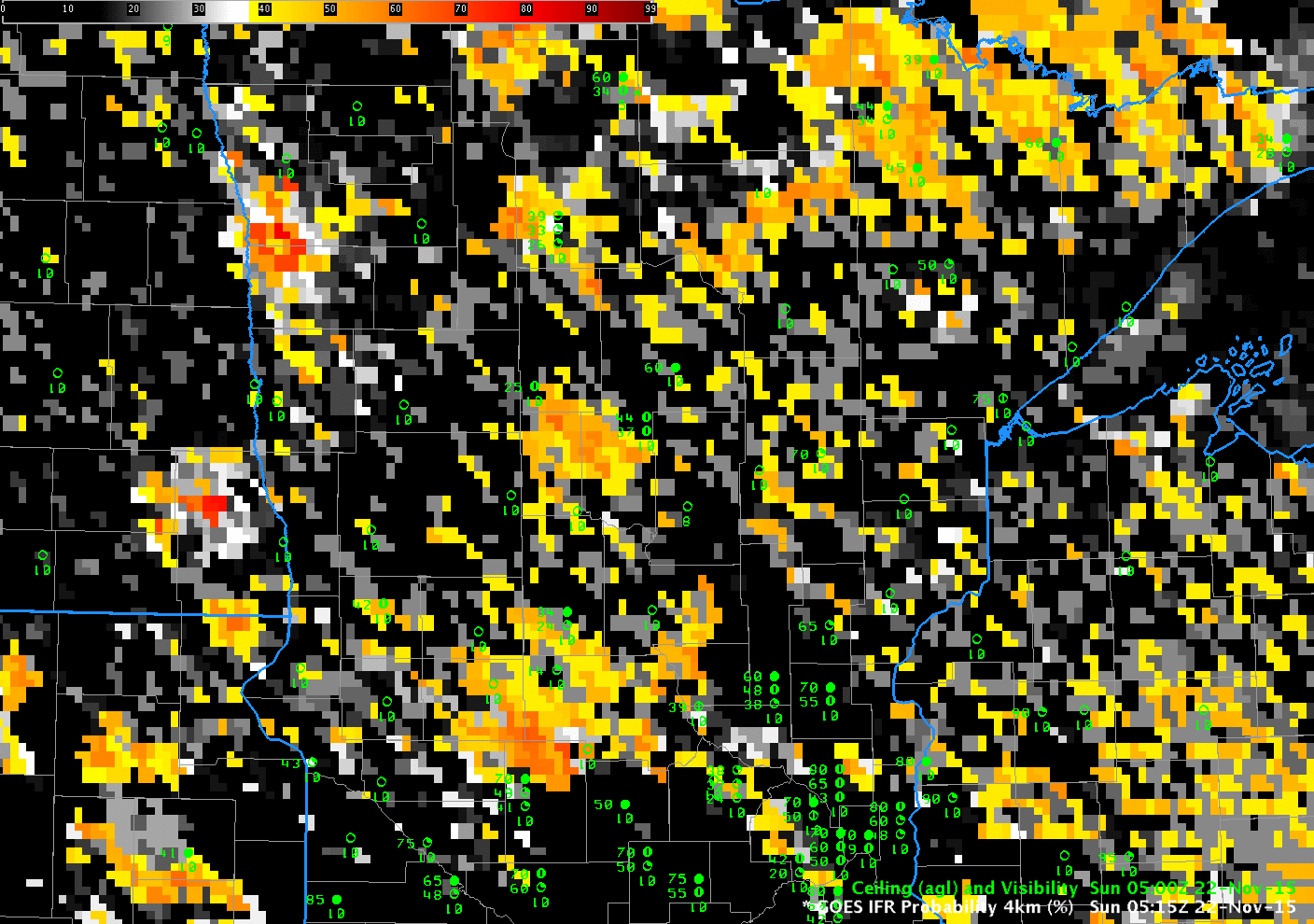
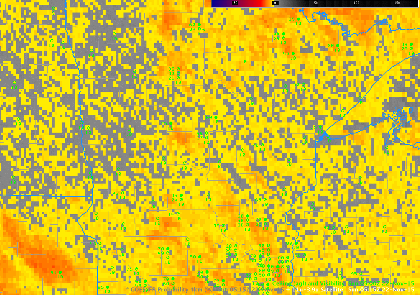
The toggles above (0500 UTC) and below (0900 UTC) show how the GOES-R IFR Probability fields capably screen out many regions of mid-level stratus. This is achieved by fusing the brightness temperature difference information with data from the Rapid Refresh Model. If the lowest 1000 feet of the Rapid Refresh Model is not near saturation, probabilities of IFR conditions are reduced.
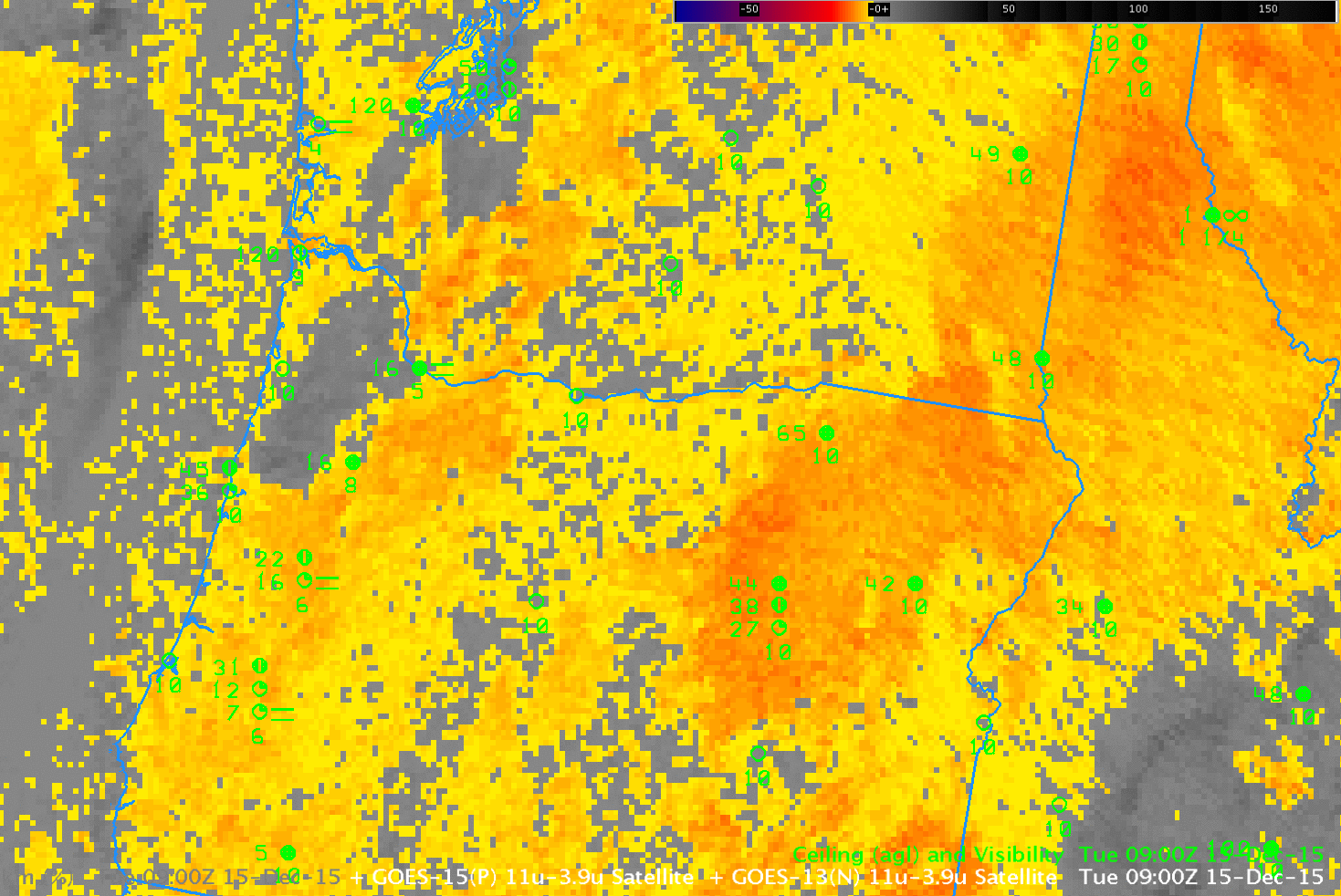
As above, but at 0900 UTC 15 December 2015 (click to enlarge)
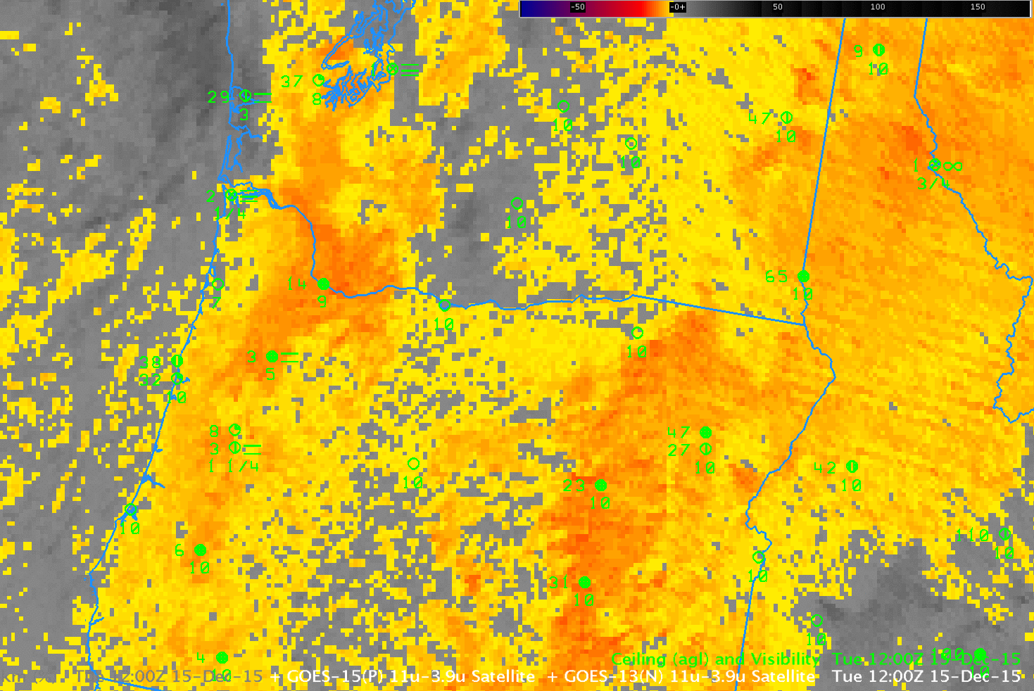
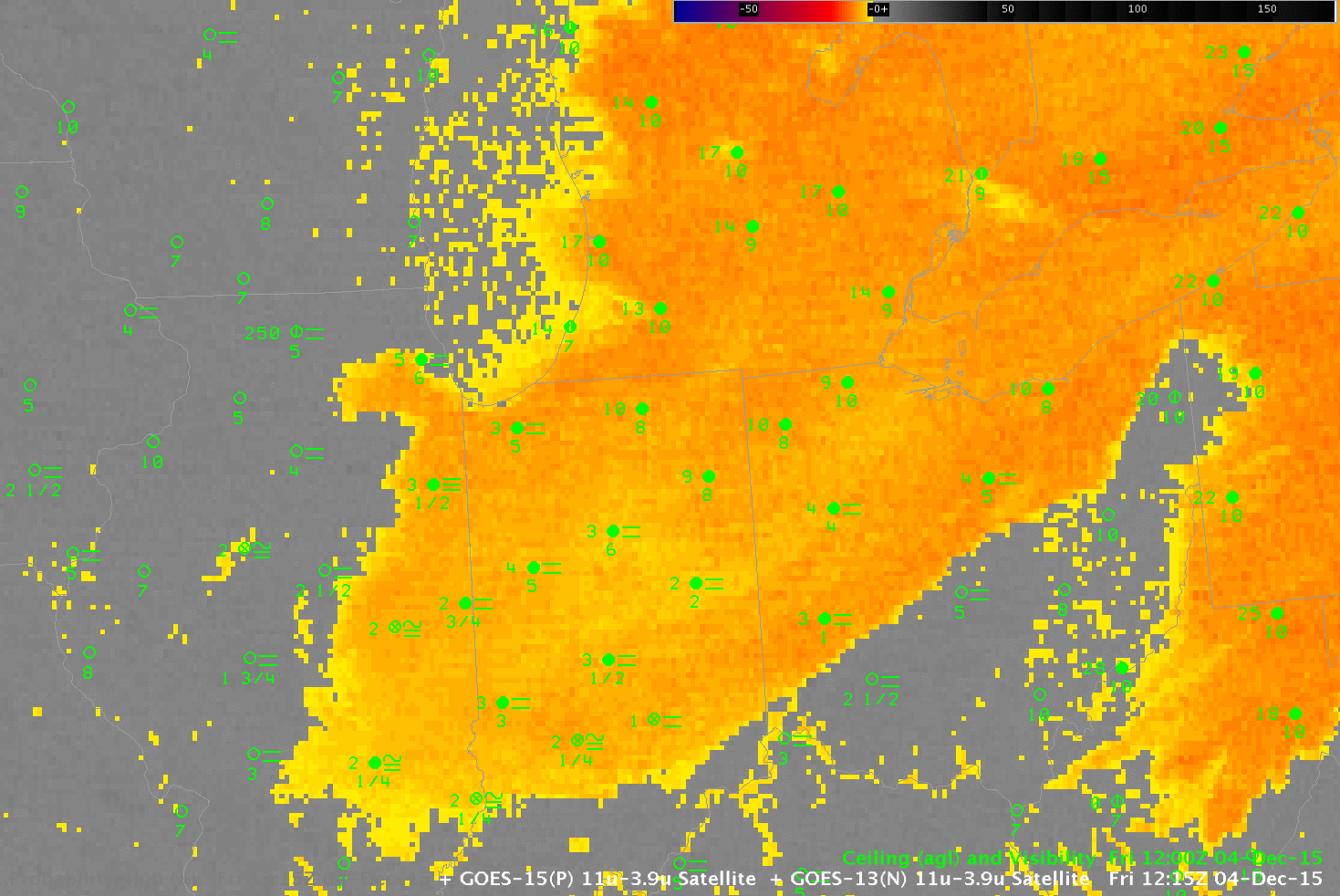
As above, but at 1200 UTC 15 December 2015 (click to enlarge)
Toggles from 1200 UTC (above) and 1400 UTC (below) continue to show IFR Conditions mostly confined to regions near the Willamette Valley in eastern Oregon — banked up against the higher terrain to the east of the Willamette, and also over the higher terrain of northeastern Oregon (Click here for a toggle between the 1400 UTC IFR Probability field and Topography). IFR Conditions are a function of ceilings above ground (not above Mean Sea Level), so it’s important to recognize the influence of topographic features on an IFR Probability field. Fog/Low stratus can bank up against a topographic feature, and/or it can shroud the top of a topographic feature.
Note also how at 1400 UTC high clouds have impinged upon extreme northwest Oregon and coastal western Washington. In these regions IFR conditions nevertheless persist under the high clouds, but satellite data alone does not indicate low cloudiness. In this region, the inclusion of Rapid Refresh data in the GOES-R IFR Probability algorithm allows the IFR Probability field to continue to provide useful information about the presence of fog/low stratus.

As above, but at 1400 UTC 15 December 2015 (click to enlarge)
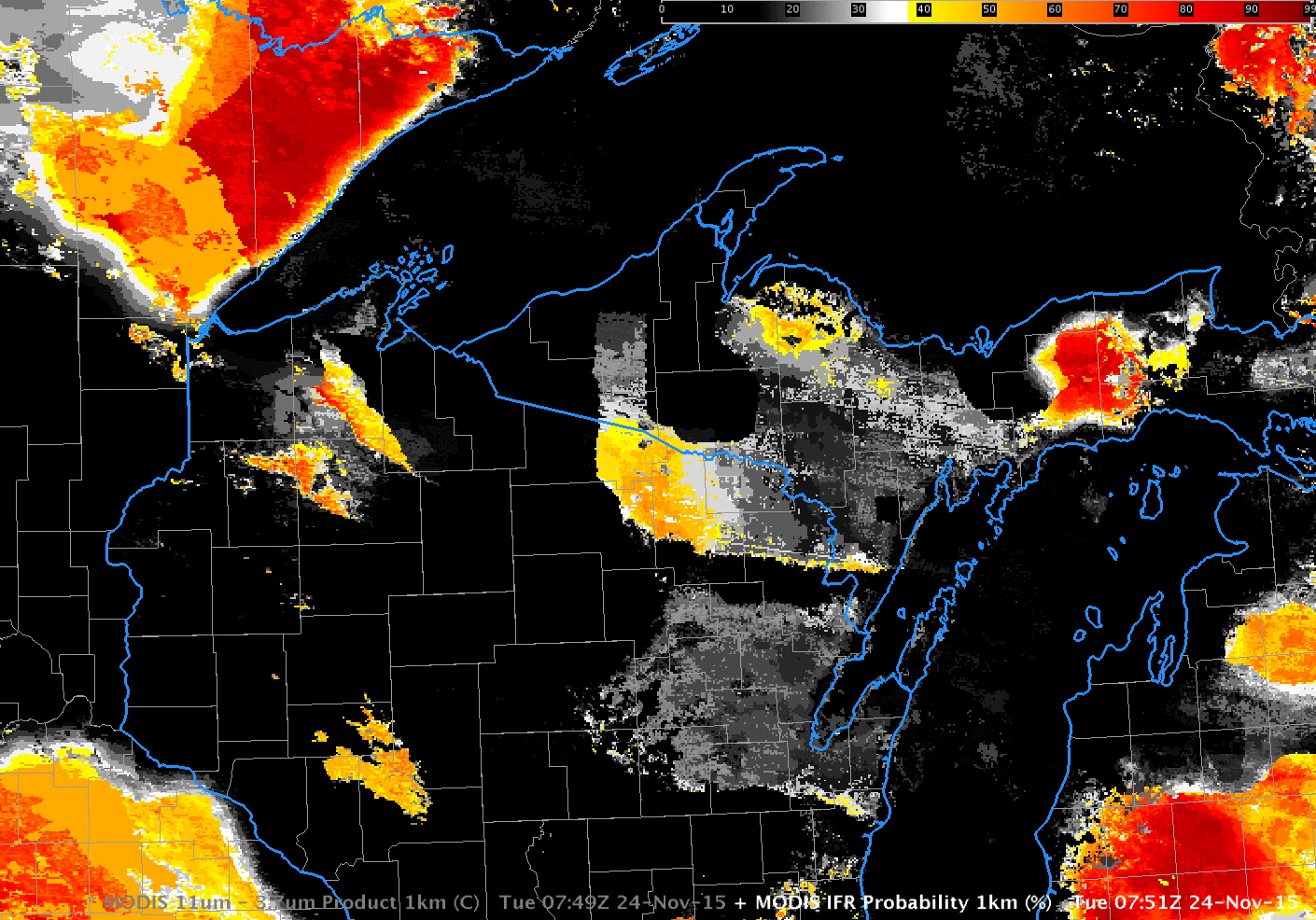
MODIS and Suomi NPP afforded high-resolution images of the fog/stratus banks over the Pacific Northwest on 15 December. The brightness temperature difference fields and MODIS-based IFR Probability fields from MODIS at 0533 and 0945 UTC, below, support the observations from the coarser-resolution GOES fields above.
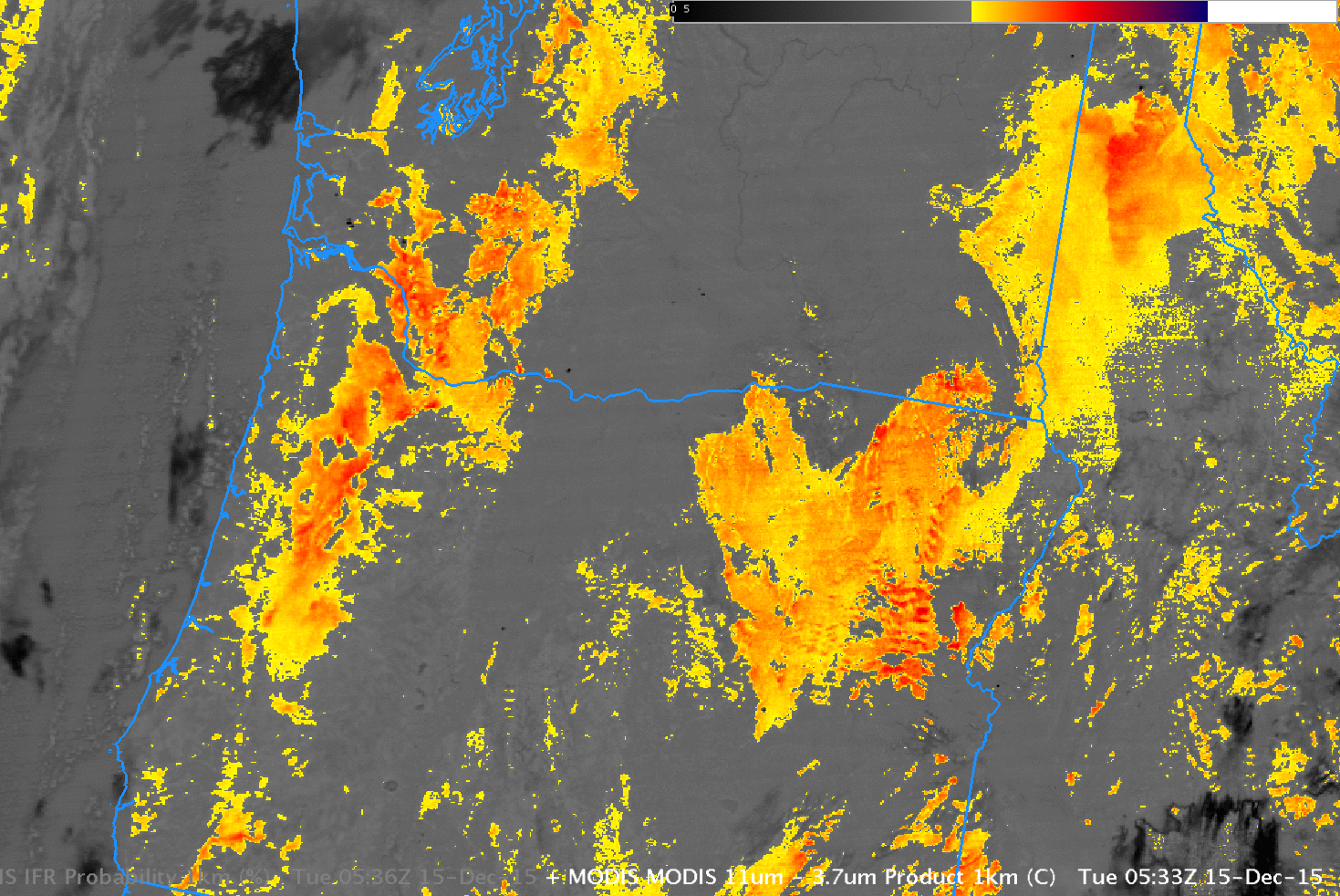
As above, but for MODIS data at 0533 UTC 15 December 2015 (click to enlarge)
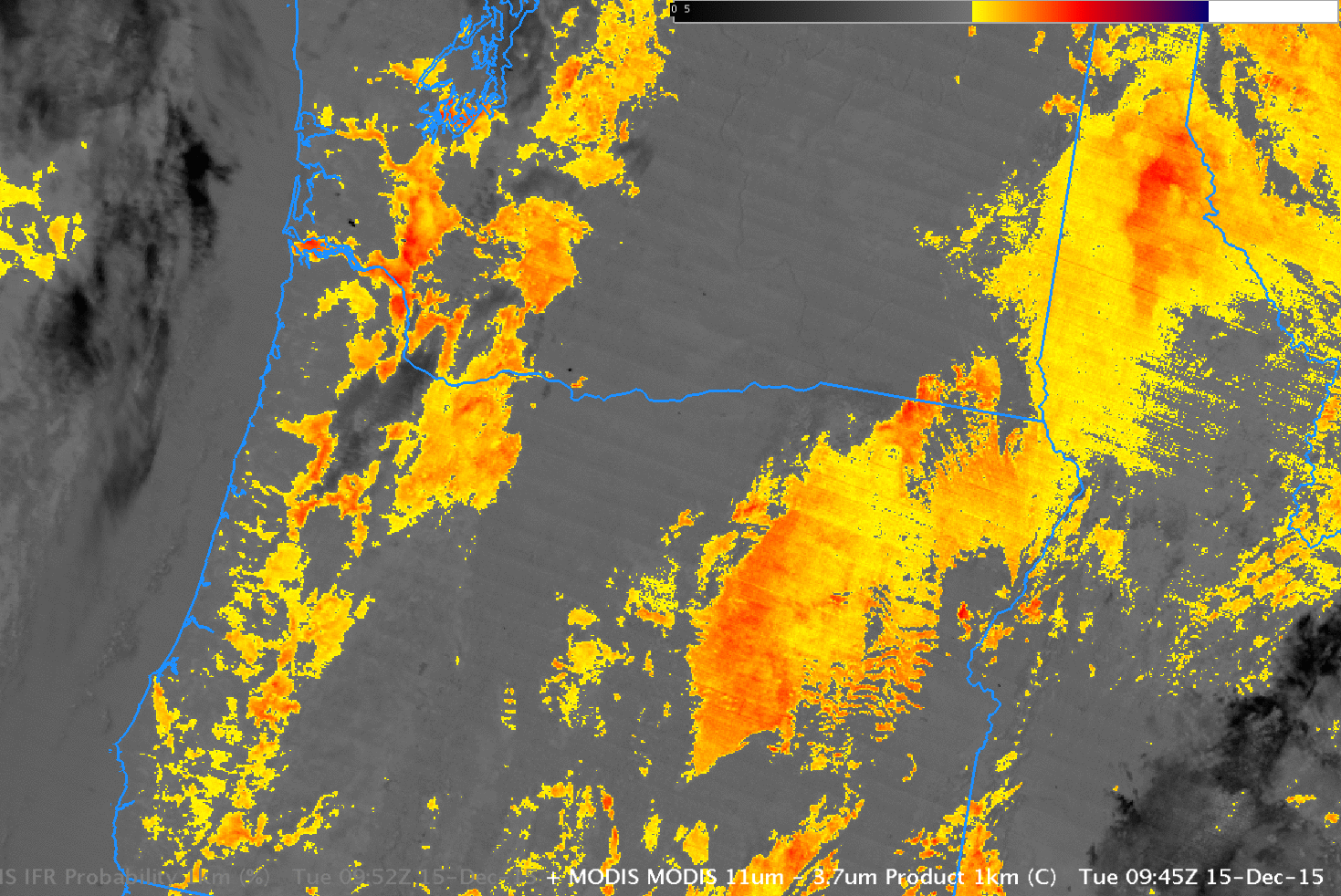
As above, but for MODIS data at 0945 UTC 15 December 2015 (click to enlarge)
GOES-R IFR Probability fields are not yet computed using data from the Suomi NPP Satellite, but the Day Night band and the Brightness Temperature Difference field give information about the presence of cloudiness. For the case of Suomi NPP data, however, it’s more important to consider surface-based observations to confirm regions of low clouds/fog or mid-level stratus. Note also that December 15 was shortly after a New Moon, and the crescent moon that could give illumination was below the horizon (that is, it had set) at 0918 and 1059 UTC.
Note that Suomi NPP Near-Constant Contrast Day Night Band imagery was scheduled to start flowing in to AWIPS II on 14 December 2015 via the SBN. It should be available in NWS offices now.
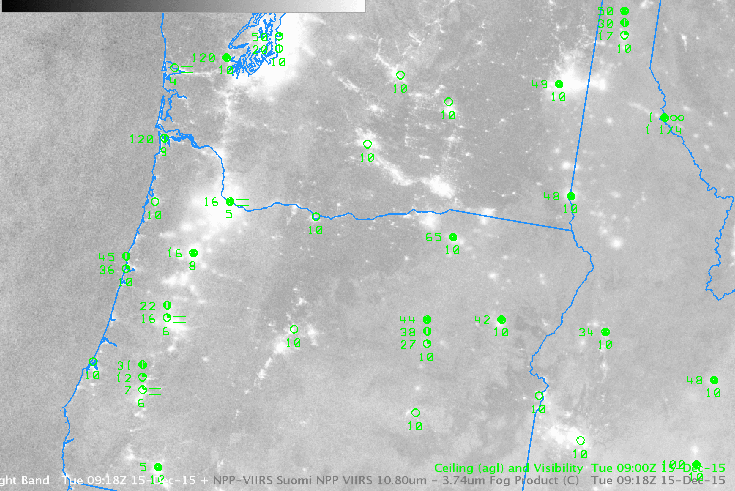
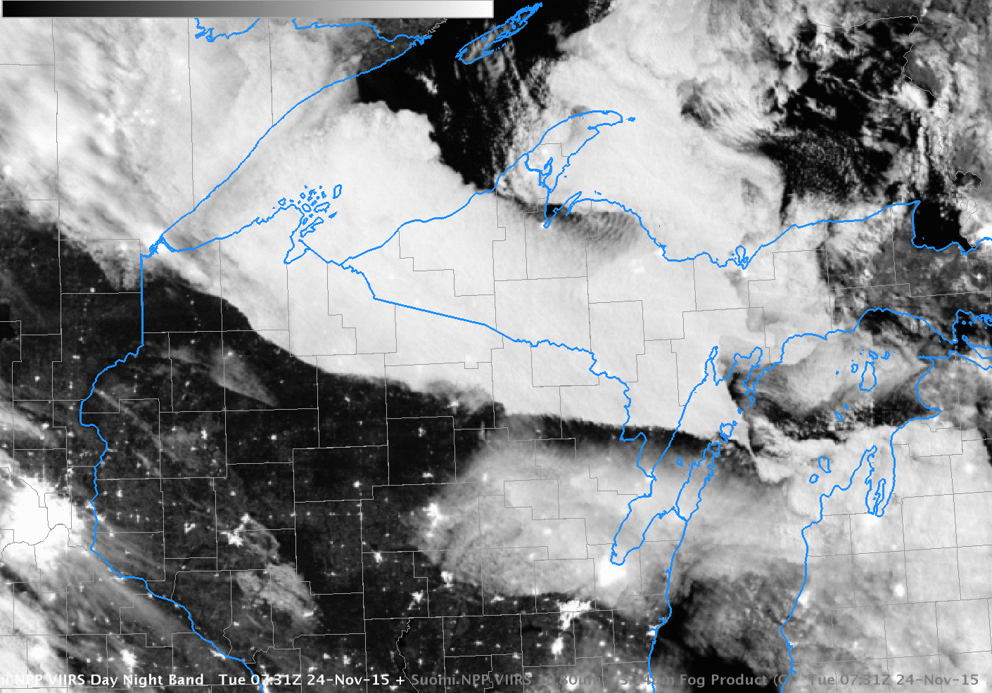
Suomi NPP Day Night Band Visible Imagery (0.70 µm) and Brightness Temperature Difference (10.35 µm – 3.74 µm), 0918 UTC 15 December 2015 (Click to enlarge)
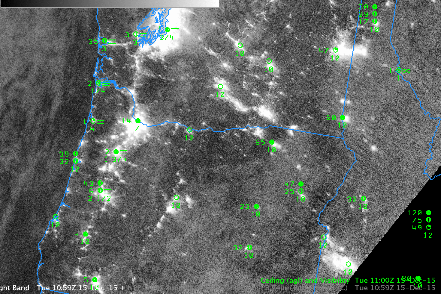
Suomi NPP Day Night Band Visible Imagery (0.70 µm) and Brightness Temperature Difference (10.35 µm – 3.74 µm), 1059 UTC 15 December 2015 (Click to enlarge)


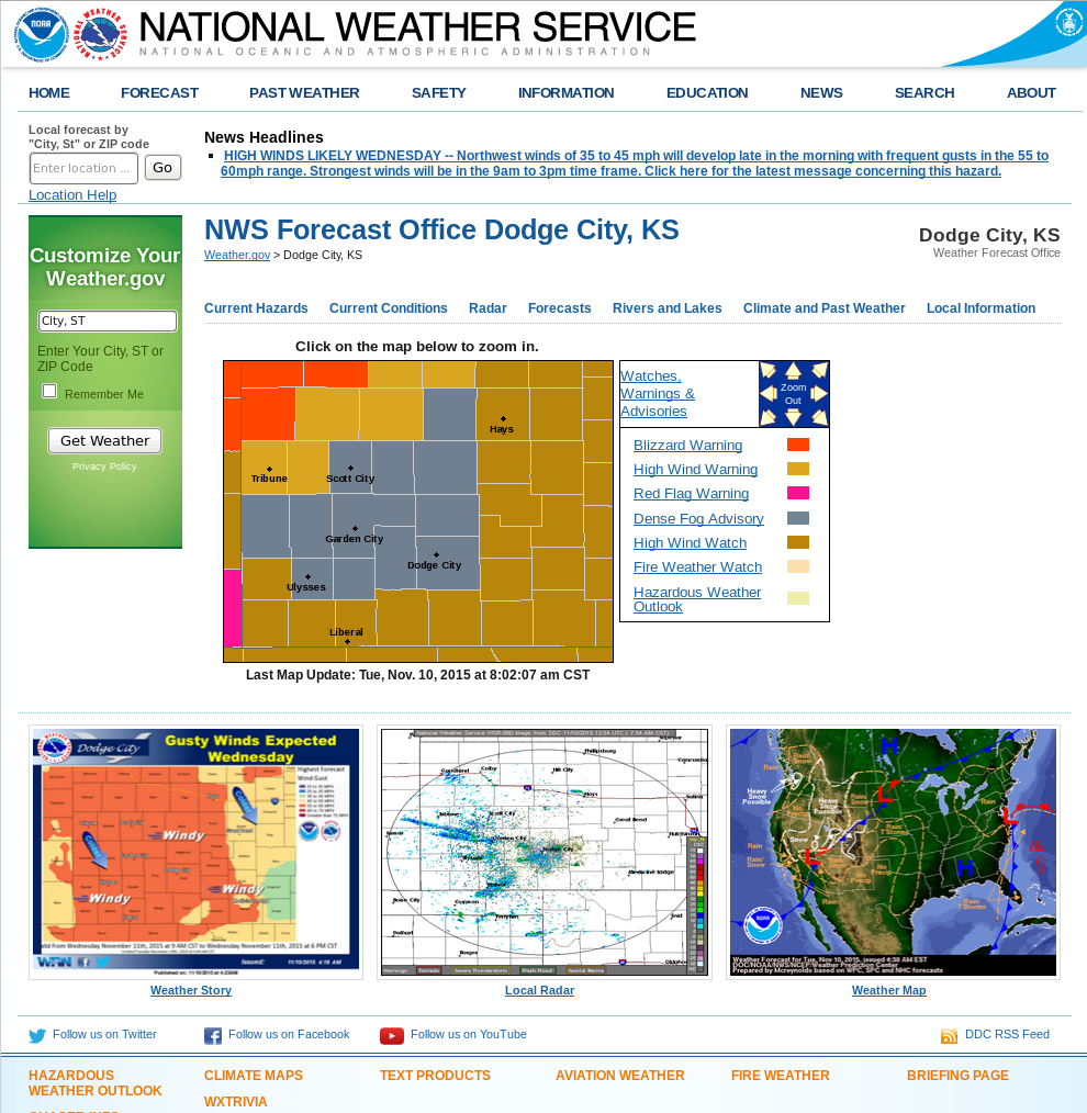