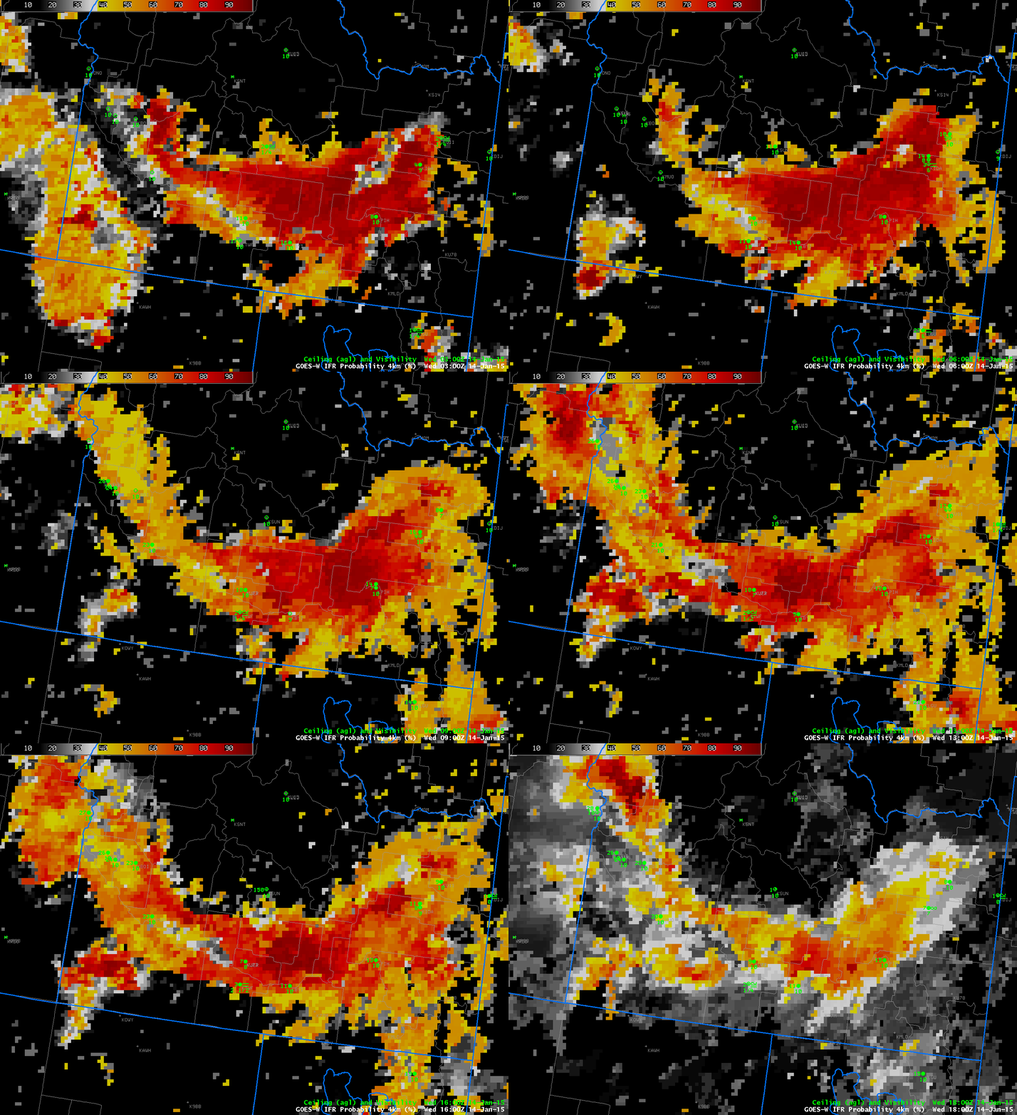
GOES-R IFR Probabilities over southern Idaho, hourly from 0300 through 1800 UTC on 14 January 2015 (Click to enlarge)
High Pressure over the Rocky Mountains, and its associated inversion, has trapped moisture at low levels, including along the Snake River in southern Idaho. As a consequence, fog is prevalent at low levels, and cold temperatures are allowing for the development of freezing fog. (Click here for a National Weather Service advisory from the Pocatello WFO).
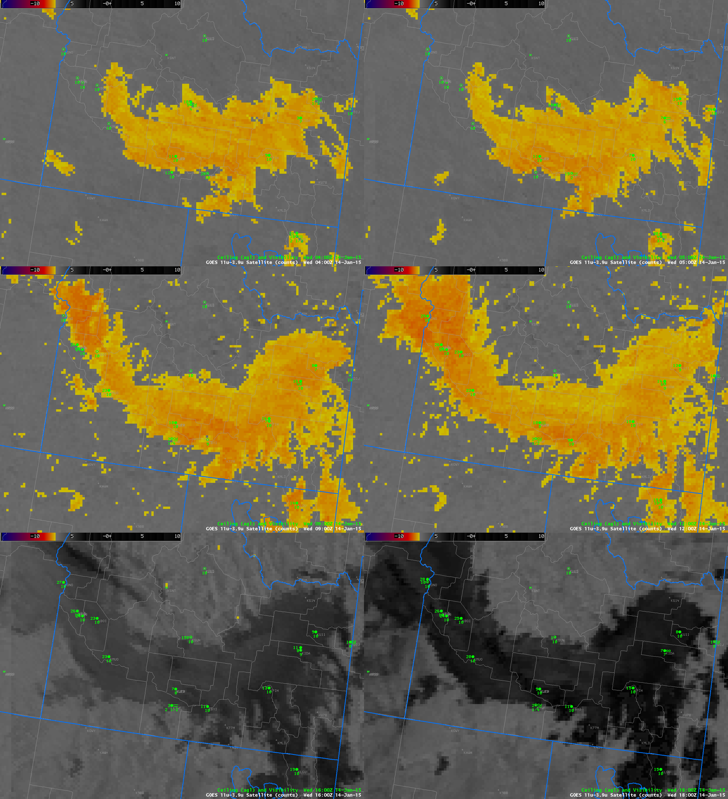
The GOES-R IFR Algorithm shows high probabilities over the Snake River Valley where the Fog/Freezing Fog was occuring — Twin Falls and Rexburg both reported freezing fog during the animation above. The Brightness Temperature Difference field, below, also captures the areal extent of the low stratus deck.

