 |
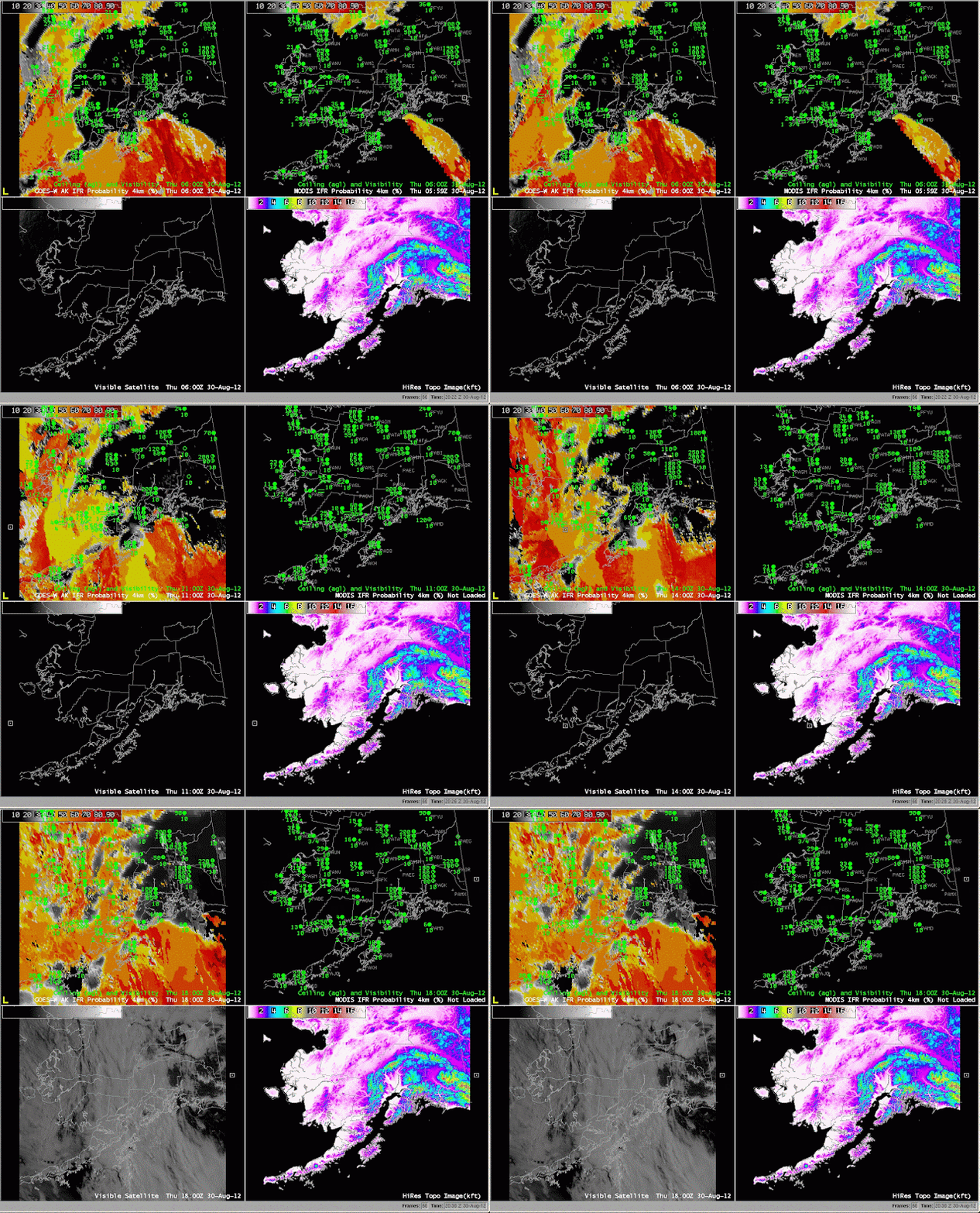
| GOES-R IFR Probabilities (upper left) computed from GOES-West, GOES-R IFR Probabilities computed from MODIS (upper right), Visible Imagery (bottom left), Topography (bottom right) |
GOES-R probabilities are a fused product between satellite data and the Rapid Refresh model. Model data are used only where multiple cloud layers are present and or where a single cirrus cloud level exists. The character of the IFR probability field looks different when model data only is used. IFR probabilities are lower when only model data are used.
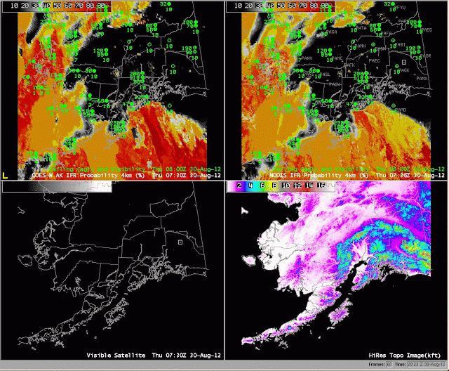
IFR probabilities are well related to observations at Kodiak, for example. As the higher probabilities increase from the southwest, ceilings lower, and eventually IFR conditions occur. The better resolution of the MODIS imagery, below, allows far finer-scale structures to be resolved in the imagery.
 |
| GOES-R IFR Probabilities (upper left) computed from GOES-West, GOES-R IFR Probabilities computed from MODIS (upper right), Visible Imagery (bottom left), Topography (bottom right) |
Note how the smaller probabilities are downwind of the Aleutians. Visible imagery — at the end of the animation — distinctly shows the clear region.
