
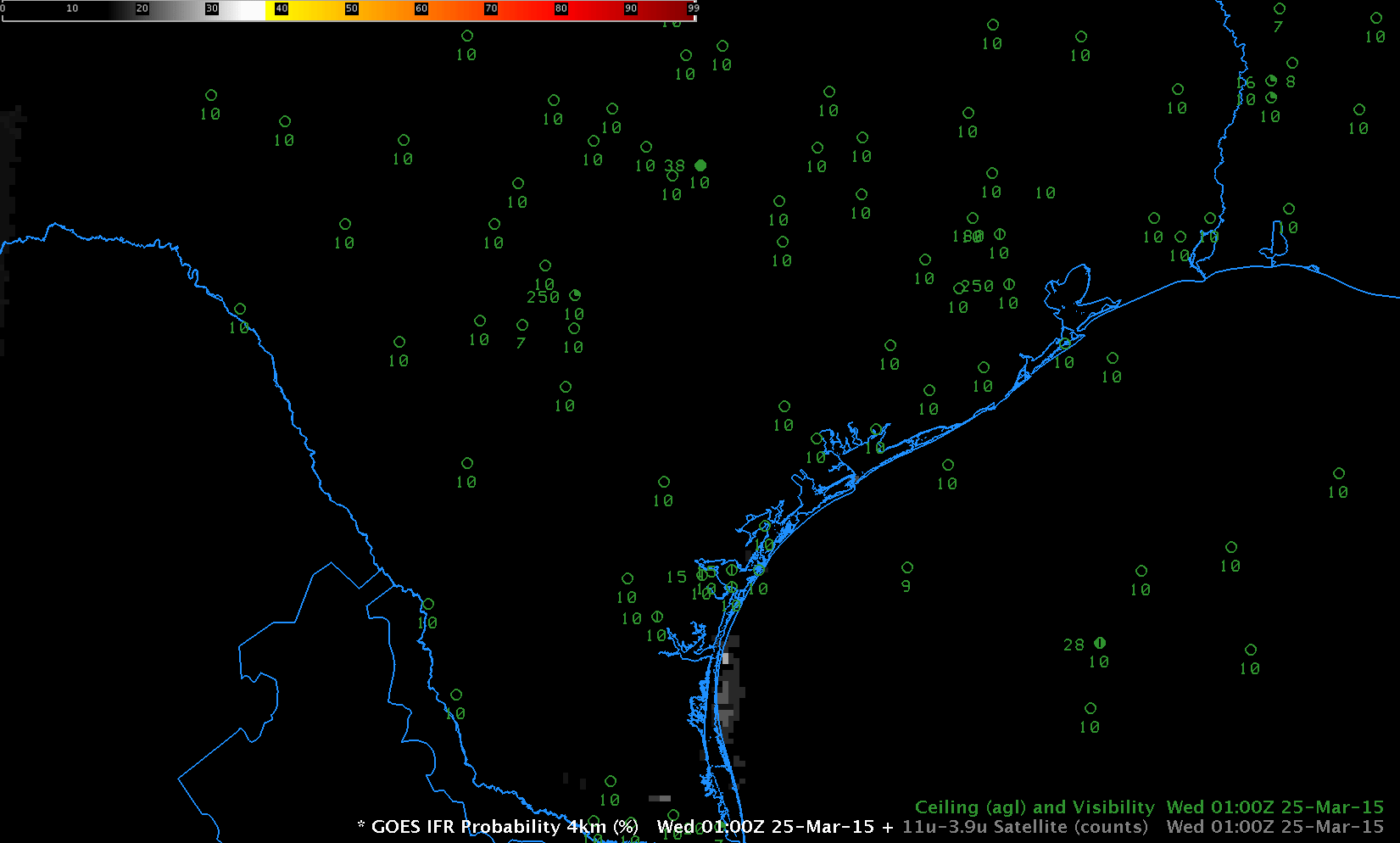
GOES-13 Brightness Temperature Difference (10.7µm – 3.9µm) Fields, 0100-1400 UTC on 25 March 2015, along with surface observations of ceiling and visibility (Click to enlarge)
GOES-13 Brightness Temperature Difference Fields, above, demonstrate how high and middle clouds can complicate or prevent the detection of low clouds from satellite. The beginning of the animation shows signatures of cirrus streaking across the northern part of the domain. There are also signals of low clouds/fog over south Texas that diminish by ~0300 UTC before reappearing. No fog is reported during the early part of the animation. In the latter half of the animation, cirrus moves in to the southern part of the domain from the southwest (cirrus appears black in the enhancement used), interfering with the detection of low clouds and fog over south Texas. At 1400 UTC, the end of the animation, reflected 3.9µm radiation originating from the rising sun has flipped the sign of the brightness temperature difference field.
GOES-13-based IFR Probability Fields, 0100-1400 UTC on 25 March 2015, along with surface observations of ceiling and visibility (Click to enlarge)
The GOES-R IFR Probability fields, above, show little signal until after 0500 UTC when the satellite and model data both start to suggest the presence of fog/low stratus. When the cirrus impinges on the southern part of the domain, becoming noticeable at 1000 UTC, IFR Probability values drop because satellite predictors cannot be used in the algorithm — only model data is driving the field over south Texas. The model data strongly suggests fog is present however (and IFR and near-IFR conditions are reported). Using the fused product allows a forecaster to have a consistent signal as the high clouds move in. IFR conditions persist — and IFR Probabilities remain high — after sunrise over portions of south Texas.