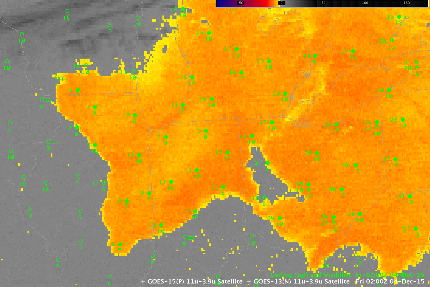
GOES-13 Brightness Temperature Difference (10.7 µm – 3.9 µm) fields (color enhanced) and GOES-R IFR Probability fields, and surface observations of ceilings and visibilities, 0200 UTC on 4 December 2015 (Click to enlarge)
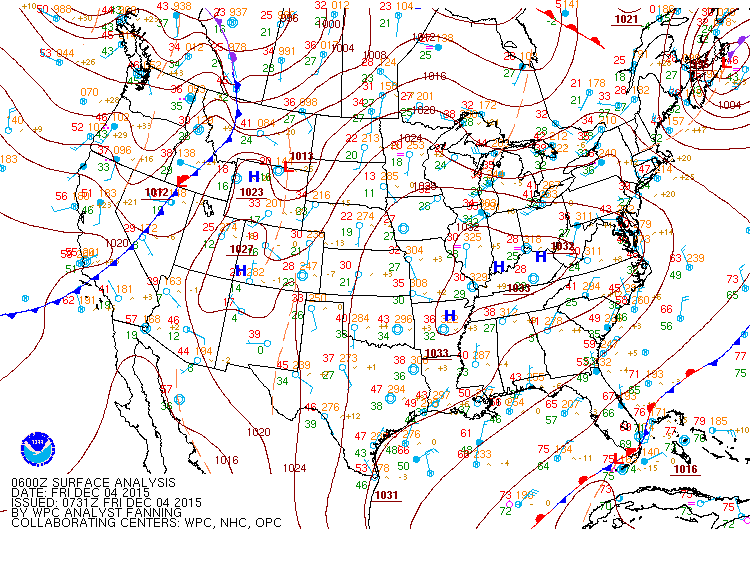
Consider the toggle above between GOES-13 Brightness Temperature Difference and GOES-R IFR Probability fields at 0200 UTC on 4 December over the Midwest. (A surface map from 1200 UTC on 4 December shows High Pressure stretched across Ohio and Indiana). IFR Conditions are not reported over Ohio, Indiana or Illinois above. Would you expect them to form? And where? The GOES-R IFR Probability product is distinguishing between low stratus (not quite fog) over Indiana/Illinois and mid-level stratus over Ohio. How do things evolve through the night?
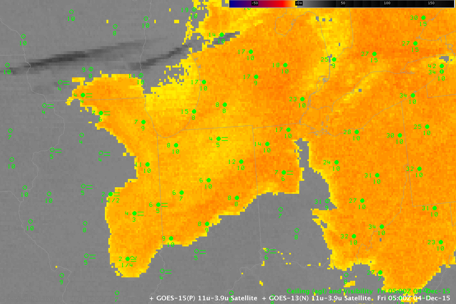
GOES-13 Brightness Temperature Difference (10.7 µm – 3.9 µm) fields (color enhanced) and GOES-R IFR Probability fields, and surface observations of ceilings and visibilities, 0500 UTC on 4 December 2015 (Click to enlarge)
The 0500 UTC image, above, shows IFR conditions reports over south-central Illinois as ceilings lower and visibility degrades under the High Pressure System. By 1000 UTC, below, the IFR Conditions over Illinois are more widespread and near-IFR conditions are present over much of Indiana. Meanwhile, in Ohio, mid-level stratus continues.
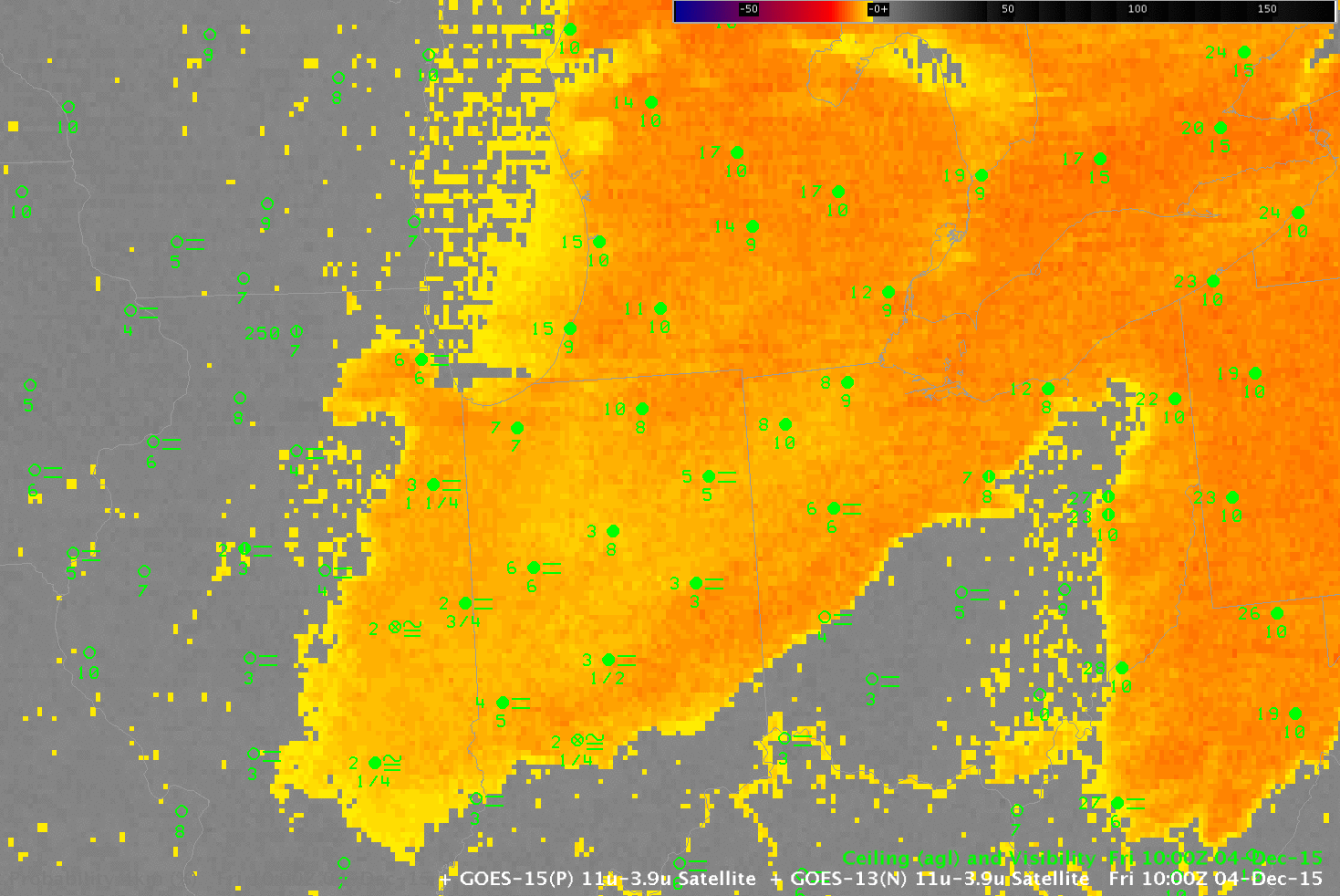
GOES-13 Brightness Temperature Difference (10.7 µm – 3.9 µm) fields (color enhanced) and GOES-R IFR Probability fields, and surface observations of ceilings and visibilities, 1000 UTC on 4 December 2015 (Click to enlarge)
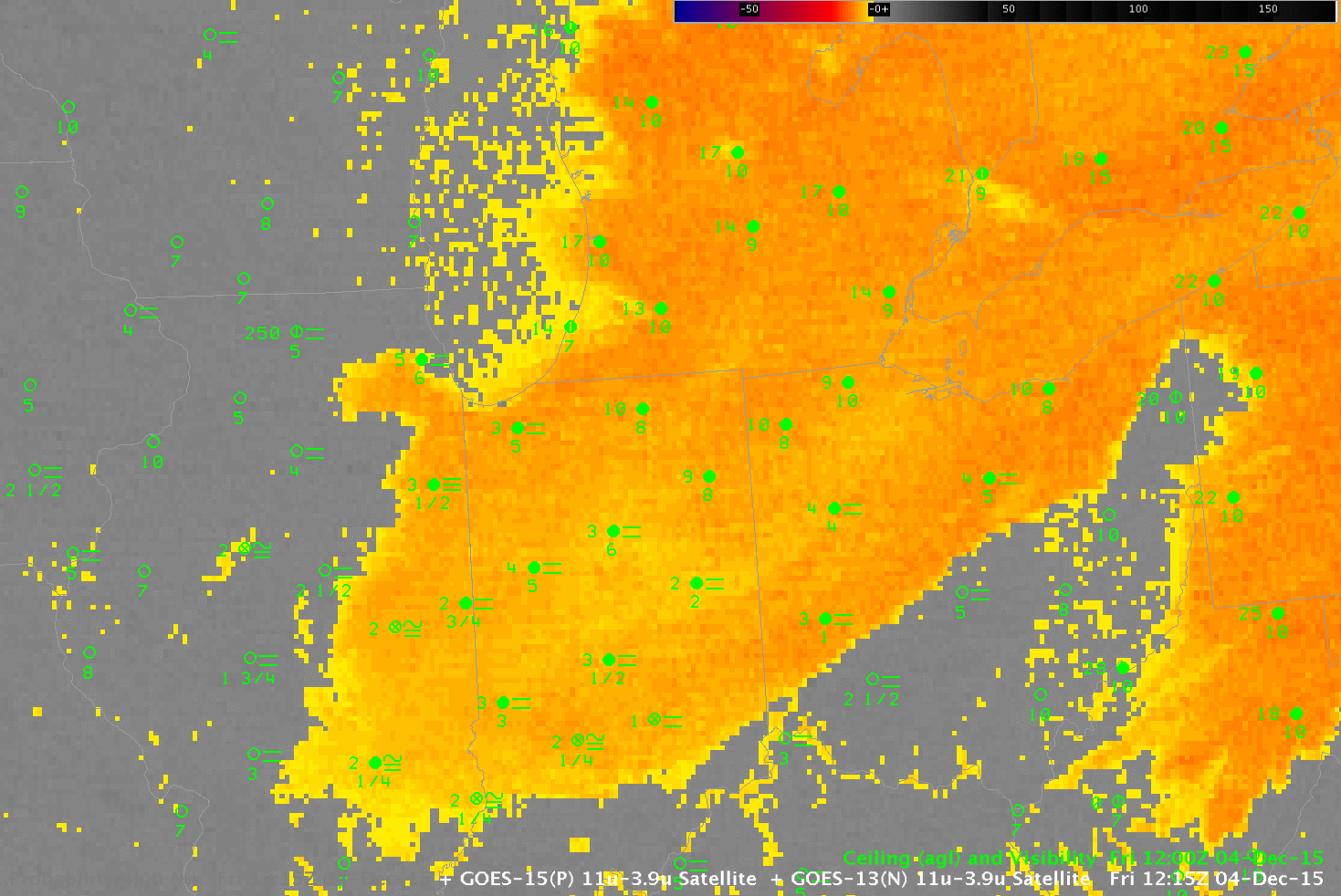
GOES-13 Brightness Temperature Difference (10.7 µm – 3.9 µm) fields (color enhanced) and GOES-R IFR Probability fields, and surface observations of ceilings and visibilities, 1215 UTC on 4 December 2015 (Click to enlarge)
By 1215 UTC, IFR conditions have developed over Indiana just before sunrise. Note also the development of IFR conditions along the Ohio River, and that low ceilings did not develop in Michigan (despite the high IFR Probabilities) where winds never relaxed. Use the IFR Probability fields in concert with other observations to make a nearcast/forecast. This case is a good example of using IFR Probabilities as an alert to where IFR conditions may be developing (in addition to the discrimination between low stratus/fog and mid-level fog that is frequently discussed on this blog). IFR Probability can be interpreted as a probability that IFR conditions exist at present or will be existing presently.