|
|
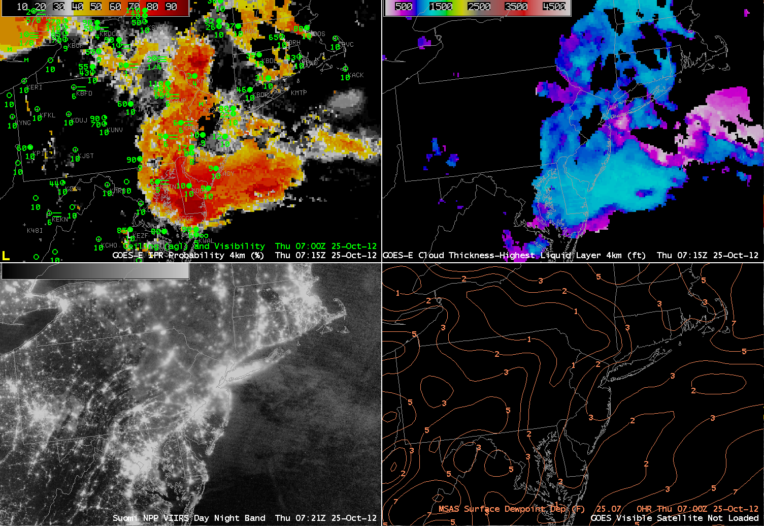
| GOES-R IFR Probabilities computed from GOES-East (upper left), GOES-R Cloud Thickness in ft (upper right), Brightness Temperature Difference (10.8 µm – 3.74 µm) computed from Suomi/NPP VIIRS data, Brightness Temperature Difference (10.8 µm– 3.9 µm) computed from GOES East, all valid about 0700 UTC 25 October 2012 |
Marine Stratus has moved inland over Maryland and surrounding states overnight, and the GOES-R IFR probabilities capture the visibility restrictions that have accompanied it. The imagery above includes the traditional brightness temperature difference fields computed from Suomi/NPP (horizontal resolution: 1 km at nadir) and from GOES (nominal horizontal resolution: 4 km at nadir). The distinct leading edge of the marine layer is readily apparent in the Susquehanna River Valley. Note, however, that the strong returns over the Hudson River Valley do not correlate well with reduced visibilities. The GOES-R IFR probabilities do a good job depicting the marine layer in the Susquehanna River Valley (shown by the relatively high probabilities), but return much lower probabilities over the Hudson River Valley where surface observations indicate hazardous low clouds are not present. Again, this is a benefit of using a fused product.
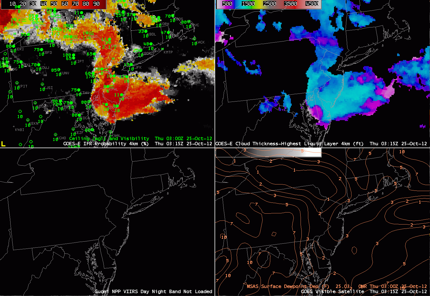 |
| GOES-R IFR Probabilities (Upper Left) and Cloud Thickness (Upper Right), Suomi/NPP Day/Night Band (Lower left) and MSAS-derived Dewpoint depression on top of Visible imagery. Times as indicated |
The temporal resolution of GOES-R IFR products allow for continuous monitoring of an evolving situation, making up for the relatively poor horizontal resolution (compared to polar orbiting platforms like Suomi/NPP or Terra/Aqua). The IFR probability field neatly captured the relentless inland push of the marine stratus air, and as the probabilities increase at locations, IFR conditions become more likely. The loop above includes a Day/Night band image that is reproduced below. The day/night band, even in low lunar light cases, can distinguish between clear sky and clouds over ocean. Over land, however, the interpretation is complicated by city lights shining through clouds. Nevertheless, the cloudy region can be discerned over parts of eastern Pennsylvania and Maryland, where the light signal is more diffuse.