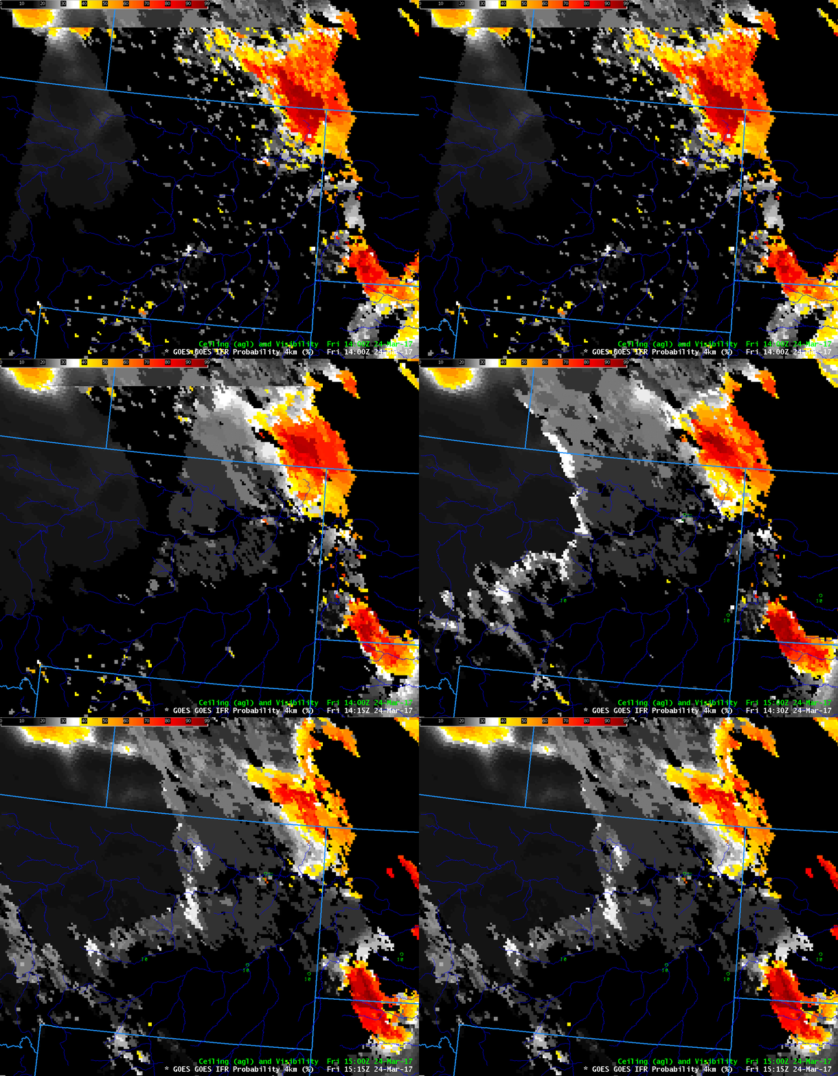
GOES-R IFR Probability fields computed with GOES-13 and Rapid Refresh Data, 1400-1500 UTC on 24 March 2017 (Click to enlarge)
Rains over Montana earlier this month (data from this site) (along with snowmelt) caused substantial flooding on Big Muddy Creek in the extreme northeast part of the state. Saturated soils in that region have increased the likelihood of fog, and fog was indicated by IFR Probability in that region on the morning of 24 March as shown above.
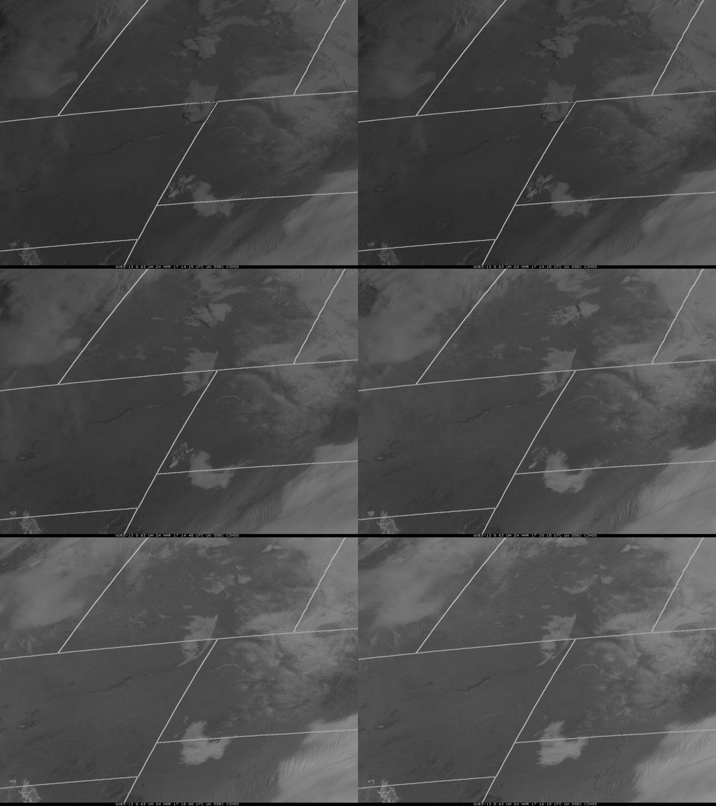
GOES-16 Visible Imagery showed the fog speedily moving down Big Muddy Creek. An animation using GOES-13 Visible imagery (0.64 µm) is shown below. The GOES-16 CONUS cadence is every five minutes; it is every 15 minutes with GOES-13, except when Full Disks are being scanned (14:45 UTC) or when housekeeping is occurring (15:30 UTC).
GOES-13 and GOES-16 visible data both show quick movement of the fog. For this case, it was harder to judge motion from the IFR Probability fields. This could be related to Infrared and model resolution; the creek valley might be too narrow for the satellite infrared data and for the model.
 GOES-13 VIsible (0.64 µm) imagery, 1415-1615 UTC. Sheridan County Montana is outlined in the first image. Fog advancing down Big Muddy Creek is apparent
