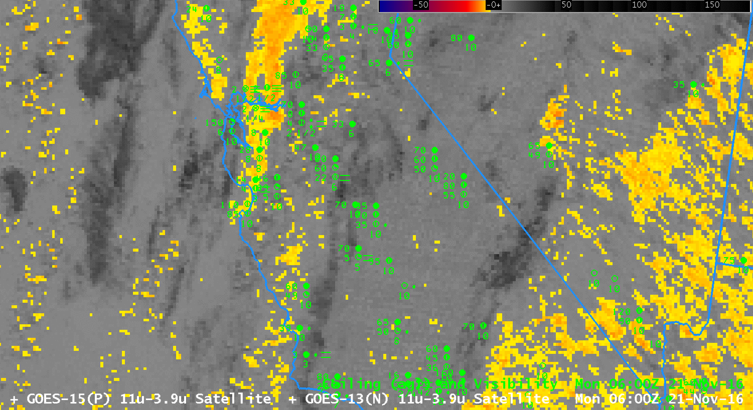
GOES-15 Brightness Temperature Difference Fields (3.9 µm – 10.7 µm), 0600-1200 UTC on 21 November 2016 (Click to enlarge)
GOES-15 Brightness Temperature Difference fields (3.9 µm – 10.7 µm, above, from 0600-1200 UTC on 21 November) can detect low clouds because water-based clouds do not emit 3.9 µm radiation as a blackbody, but they do emit 10.7 µm radiation as a blackbody. Consequently, the brightness temperature computed from 3.9 µm radiation is cooler than that computed by 10.7 µm radiation. The animation above depicts two challenges that arise from using brightness temperature difference fields. If mid-level clouds or cirrus are present, the satellite cannot view the low-level clouds that might be associated with fog. That is the case above over the San Joaquin Valley at the start of the animation. Later on, as the higher clouds move out, a strong signal develops everywhere. Brightness Temperature Difference fields are not giving useful information because alone they cannot distinguish between mid-level stratus and low stratus/fog.
In contrast, the GOES-R IFR Probability fields suggest the likelihood of IFR conditions in three distinct regions: Along the Sierra Nevada, where terrain is likely to rise up into the Cloud Base, in the San Joaquin Valley, and along the coastal range. Largest values of IFR Probability do occur where (or near where) ceilings and visibilities are reduced and can help a forecaster restrict interest to where it is actually warranted. IFR Probability fields combine satellite observations of stratus with Rapid Refresh model predictions of low-level saturation, so IFR Probability fields are better able to highlight regions of low stratus and fog.
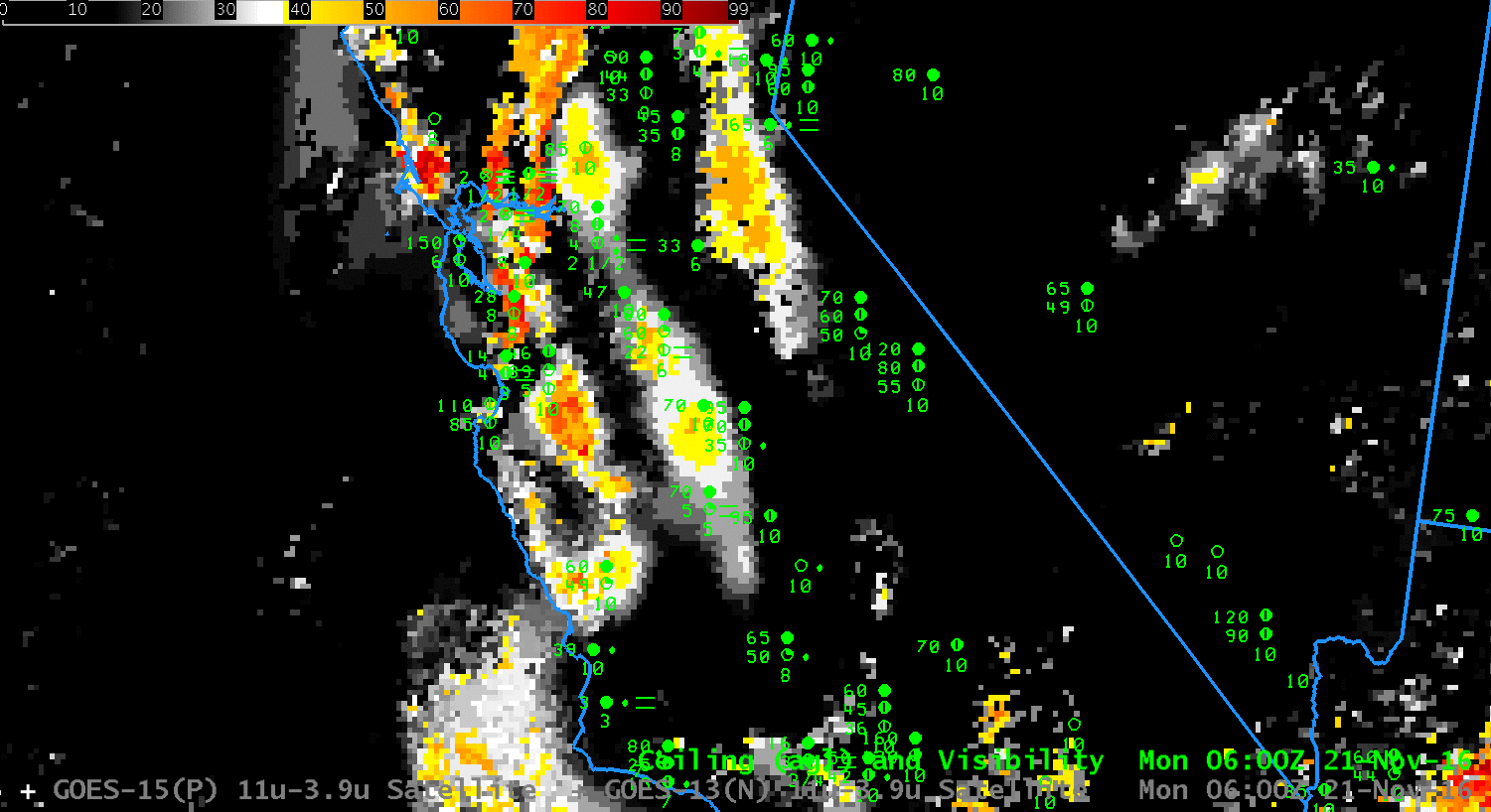
GOES-R IFR Probability Fields, 0600-1200 UTC on 21 November 2016 (Click to enlarge)