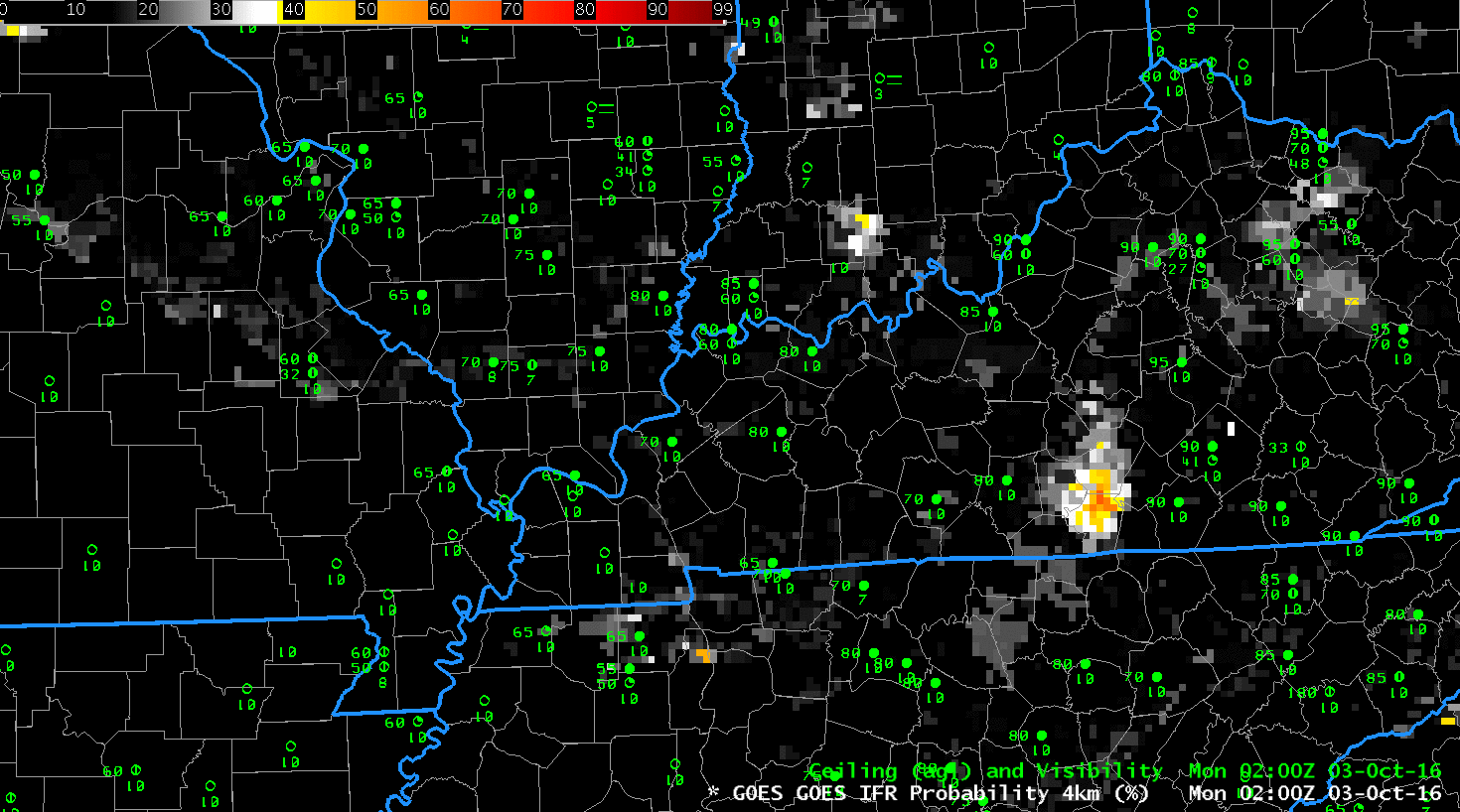
GOES-R IFR Probability Fields, 0200-0700 UTC on 3 October 2016 (Click to enlarge)
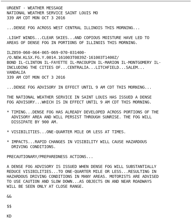
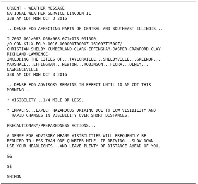
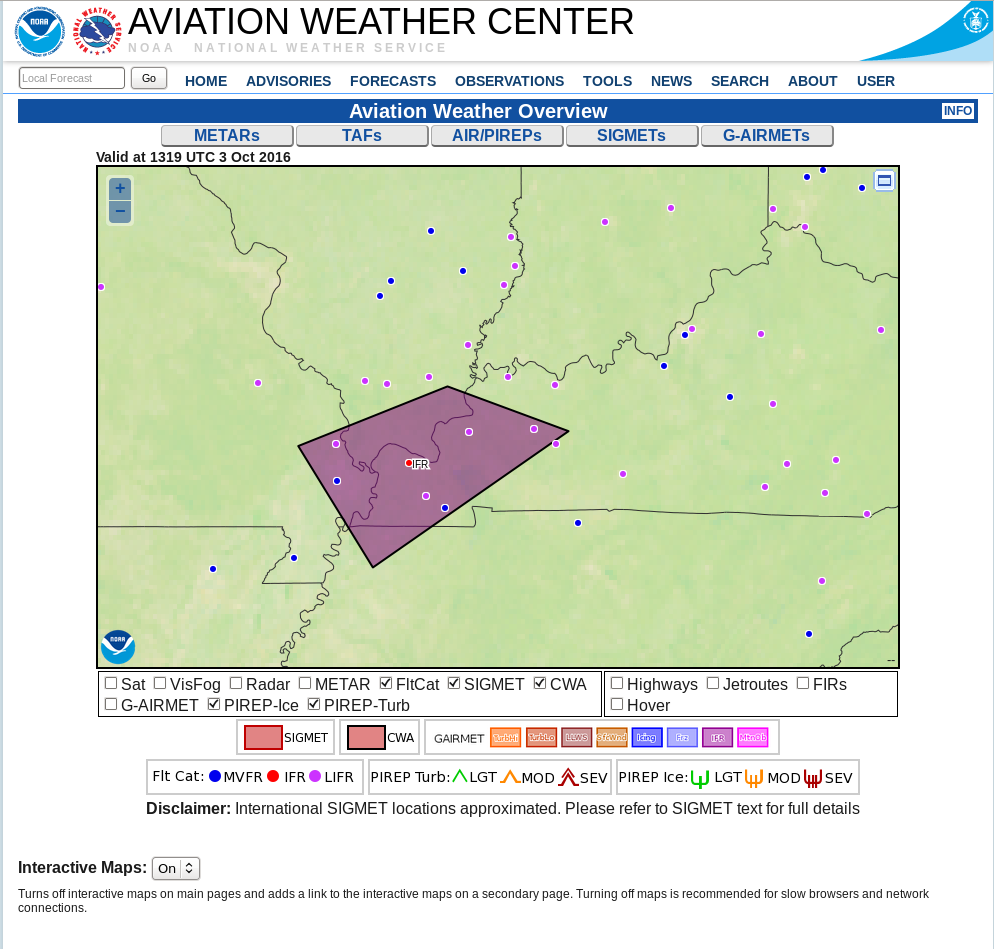
Fog developed over portions of the Ohio River Valley from Indiana westward to the Mississippi River at Cairo IL on the morning of 3 October 2016. Dense Fog Advisories were issued by the National Weather Service Offices in St. Louis, Lincoln IL and Paducah between 3:30 and 4:15 CDT (0830 to 0915 UTC). A SIGMET was also issued. How effective was Satellite detection of this developing fog?
The brightness temperature difference product, below, shows hourly measures of water-based clouds, a detection that keys off the emissivity differences of water based clouds for 3.9 radiation (at which wavelength near-blackbody emission is not occurring) and 10.7 radaiation (at which wavelength near-blackbody emission is occurring). Significant changes to the brightness temperature difference field did not occur until after 0500 UTC. In addition, Brightness Temperature Difference fields overestimated the region of developing fog. In contrast, the GOES-R IFR Probability field, above, showed a more gradual increase from 0200 UTC onward, and the region of the strong signal was better confined to where dense fog developed. On this day, GOES-R IFR Probability fields were better for situational awareness, generating an earlier alert for forecasters to the potential for fog. In addition, the GOES-R IFR Probability fields better defined the region of hazardous ceilings and visibilities.
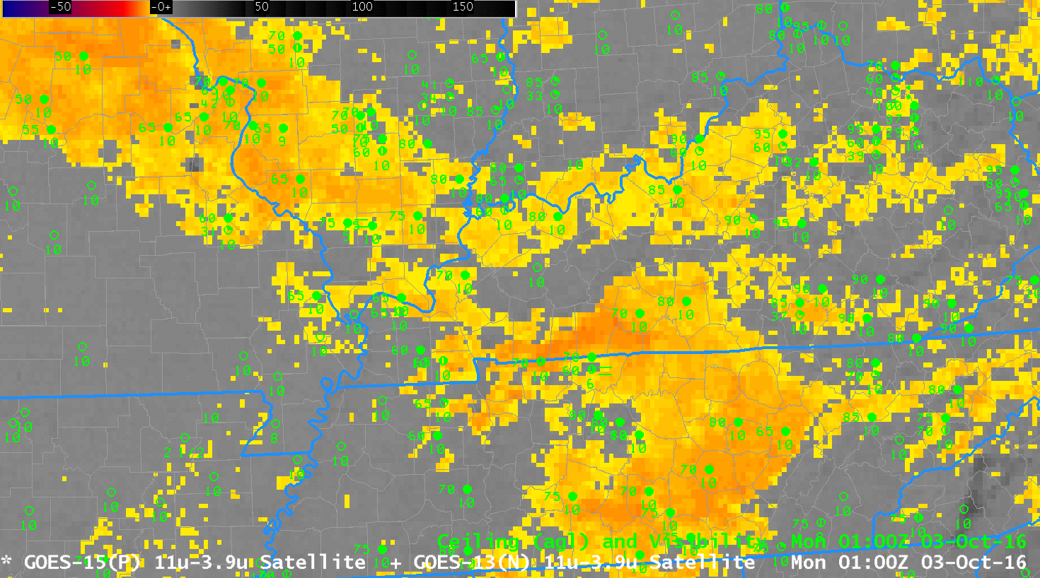
Brightness Temperature Difference Field (3.9 – 10.7) from 0100 to 0700 UTC on 3 October 2016 (Click the enlarge)