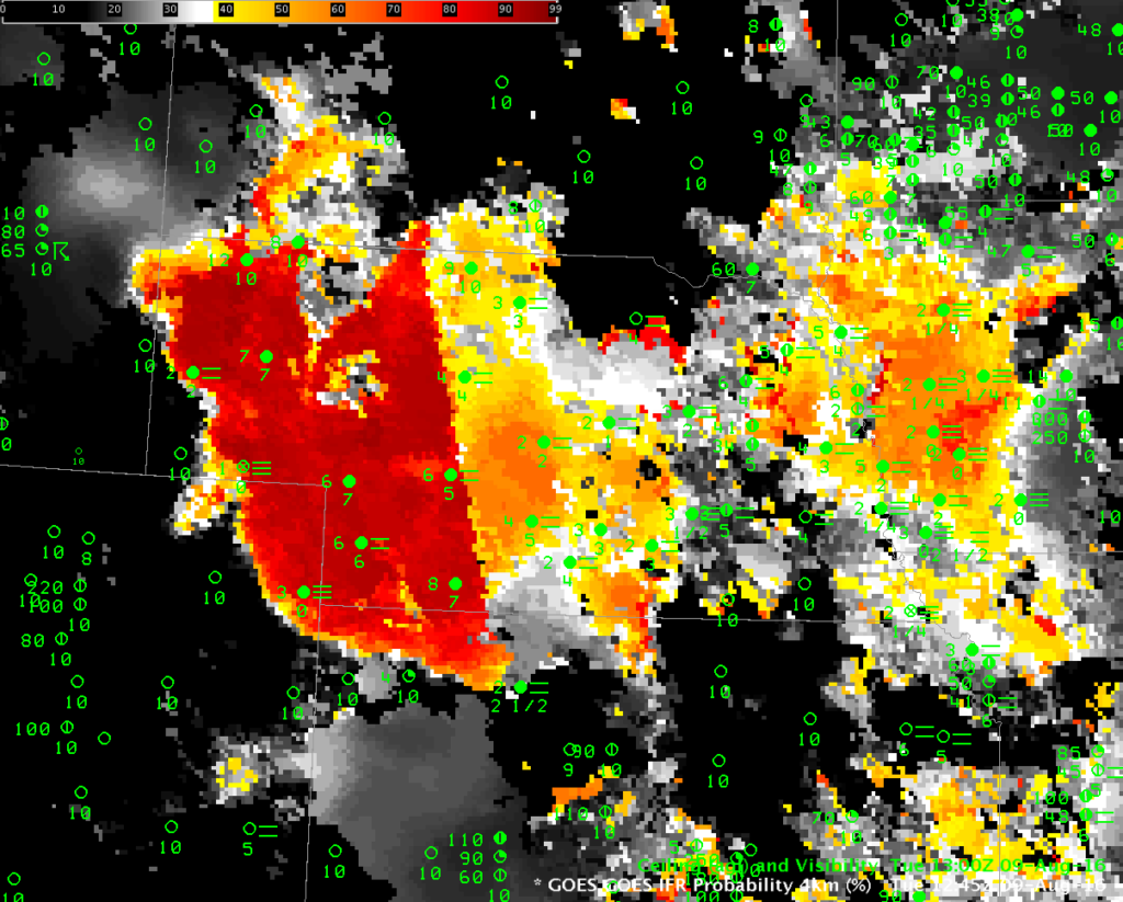
When the Sun rises, the predictors that are used to compute IFR Probabilities change, and that change is evident in the 1245 UTC image below. Night-time predictors are being used to the west of the obvious boundary through central Nebraska, and day-time predictors are being used to the east. It’s more common for IFR Probability values to increase when Day-Time predictors are used, but on 9 August values decreased. (You can see from the animation above that the IFR Probability values subsequently rebounded)
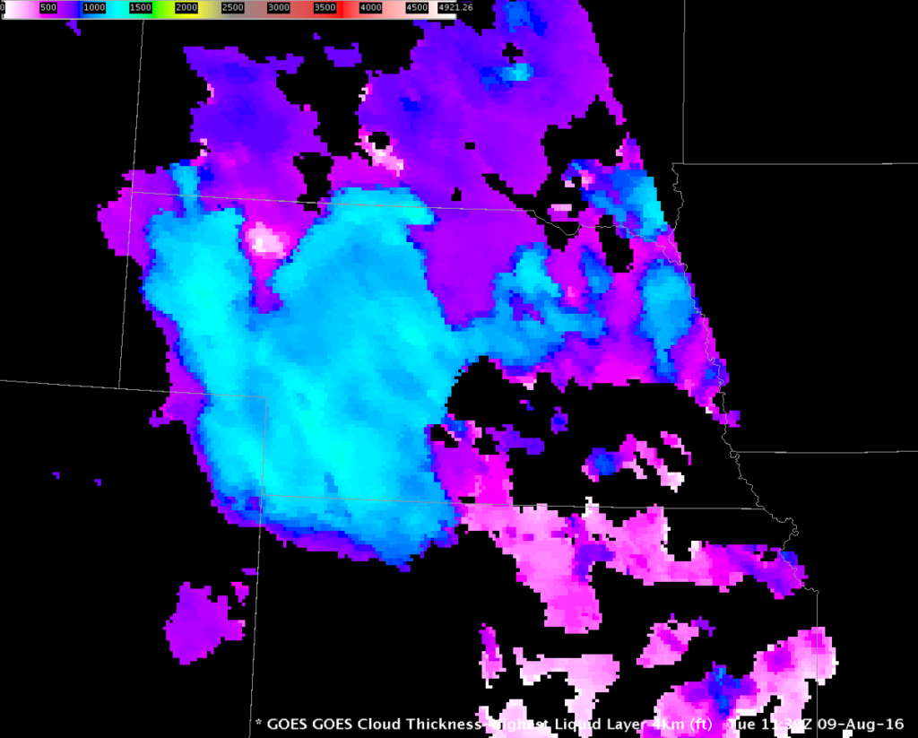
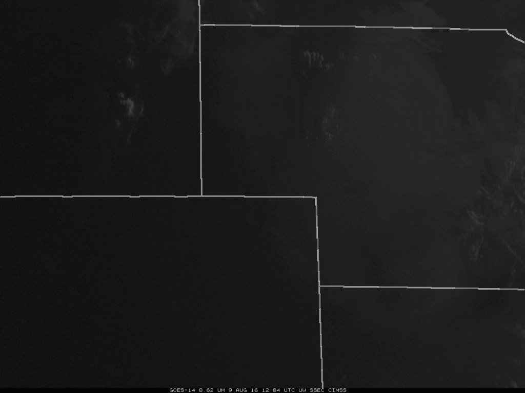
GOES-R Cloud Thickness can be used to estimate when fog/low stratus will dissipate (using this scatterplot). The image below shows the last Cloud Thickness before twilight conditions (during twilight conditions, GOES-R Cloud Thickness is not computed — over Nebraska at this time of year, that’s generally about 2 hours starting around 1145 UTC). The largest values are around 1280 feet, which corresponds to a dissipation time of more than four hours, meaning the fog/low clouds should persist to at least 1530 UTC! GOES-14 was observing Nebraska at 1-minute intervals on 9 August, as part of GOES-14’s SRSO-R. The animation from dawn (~1204) through 1610 UTC is below. Fog Dissipation is mostly complete by 1600 UTC.IFR Probabilities and SRSO-R Visible Imagery over Nebraska
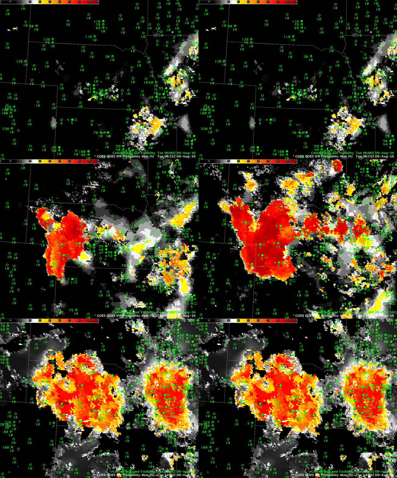
GOES-R IFR Probabilities show the development of IFR-producing stratus and fog over central and western Nebraska between midnight and dawn on 9 August 2016. The character of the field suggests that satellite data and Rapid Refresh Model output are both contributing to IFR Probability fields; IFR Probability fields will look far flatter in appearance (just one color) when model fields only are used.


