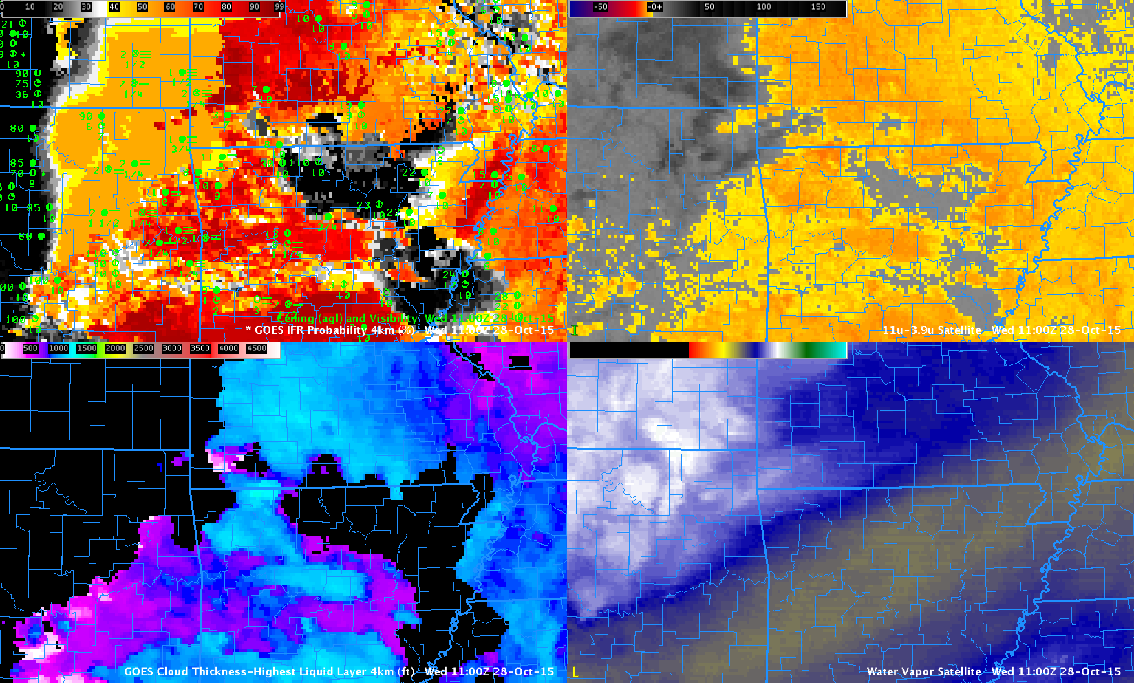
GOES-R IFR Probabilities (Upper Left), GOES-R Cloud Thickness (Lower Left), GOES-13 Brightness Temperature Difference (10.7 µm – 3.9 µm) (Upper Right), GOES-13 Water Vapor Infrared Imagery (6.5 µm) (Lower Right), all at 1100 UTC on 28 October 2015 (Click to enlarge)
Fused Data is beneficial in the detection of low ceilings and reduced visibilities. Consider the region in northeastern Oklahoma where cirrus has overspread low clouds and dense fog is reported on the ground. The satellite view of the low clouds is obscured by the cirrus; the brightness temperature difference signal is not one associated with fog/low stratus. However, GOES-R IFR Probability fields maintain a signal because Rapid Refresh model output is used; saturation is occurring in the lowest 1000 feet of the model over eastern OK, and the GOES-R IFR Probability is larger there as a result. (Dense Fog Advisories were issued for this event).
