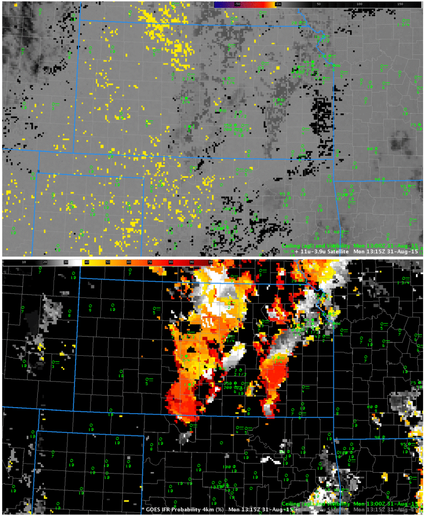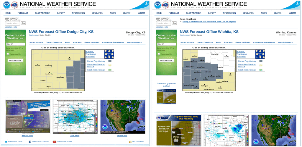
Screen Captures of NWS Pages at Dodge City (left) and Wichita (Right), 0700 CST 31 August 2015 (click to enlarge)
Dense Fog Advisories were issued by both Dodge City and Wichita WFOs on the morning of 31 August 2015. GOES-R IFR Probabilities in this case did a better job of outlining where IFR conditions were occurring, distinguishing those regions from regions of low stratus. Each of the paired images below shows Brightness Temperature Difference fields on top and IFR Probability fields on bottom, for four different times during the night (0530, 0715, 0915, 1115 UTC). IFR Probability fields show a signal that is confined mostly to regions where IFR conditions are developing (for the earlier times) or observed (at 0915 and 1115 UTC). Thus, IFR Probability in this case refines the brightness temperature difference signal, highlighting regions only where low clouds/fog are present (eastern Kansas), rather than regions where stratus clouds are present (western Kansas). The incorporation of near-surface saturation as predicted in the Rapid Refresh model is key to screening out regions of mid-level stratus when low stratus and fog are the more important field.
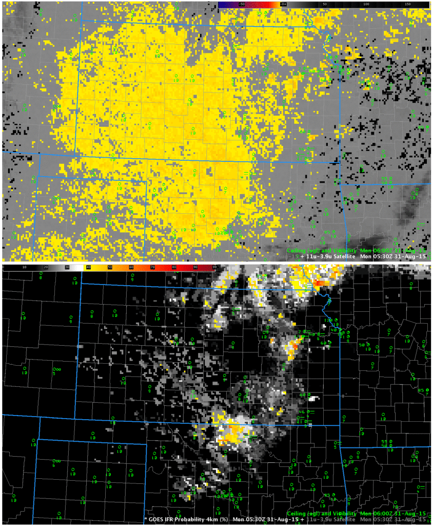
GOES-13 Brightness Temperature Difference (10.7µm – 3.9µm) (top) and GOES-R IFR Probabilities (bottom), 0530 UTC 31 August 2015 (Click to enlarge)
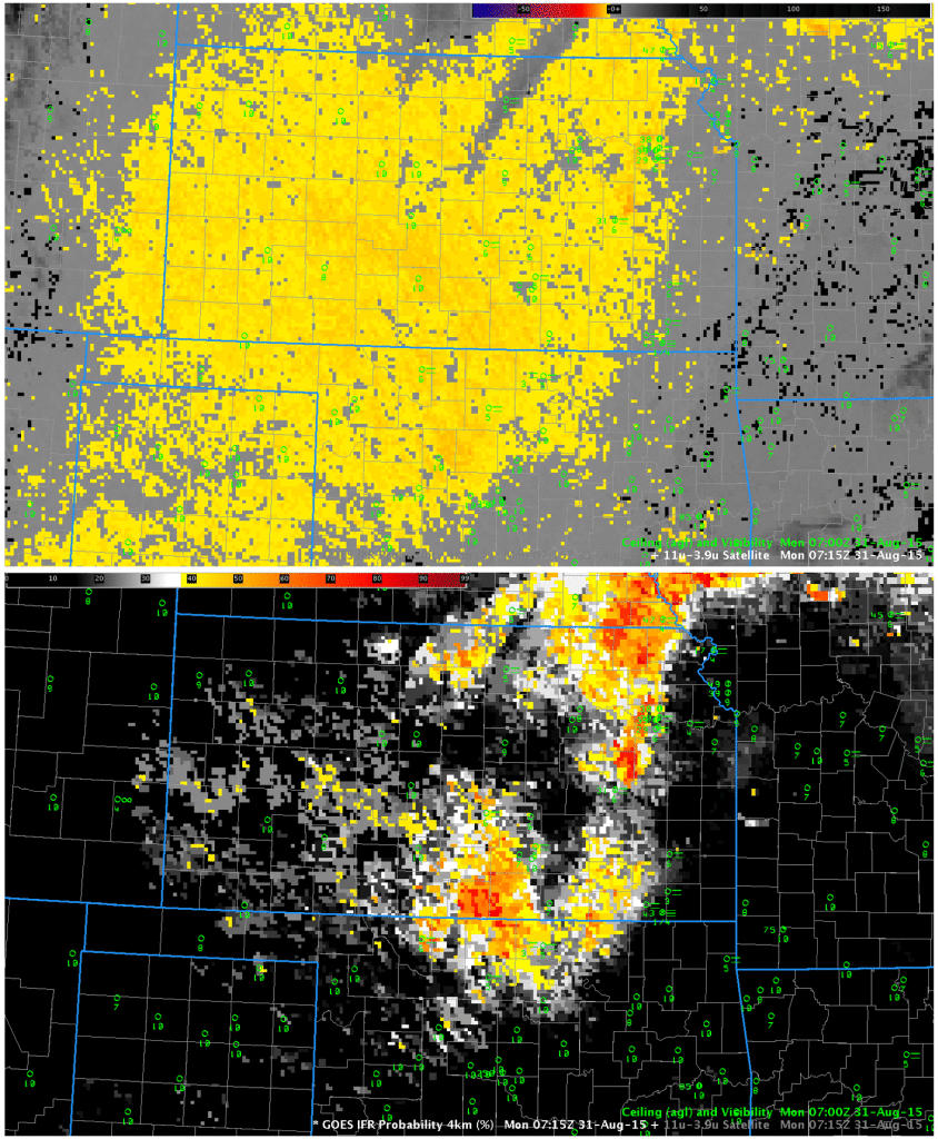
GOES-13 Brightness Temperature Difference (10.7µm – 3.9µm) (top) and GOES-R IFR Probabilities (bottom), 0715 UTC 31 August 2015 (Click to enlarge)
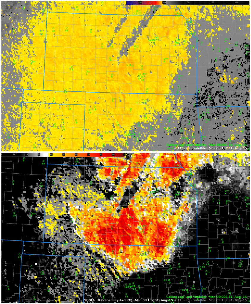
GOES-13 Brightness Temperature Difference (10.7µm – 3.9µm) (top) and GOES-R IFR Probabilities (bottom), 0915 UTC 31 August 2015 (Click to enlarge)
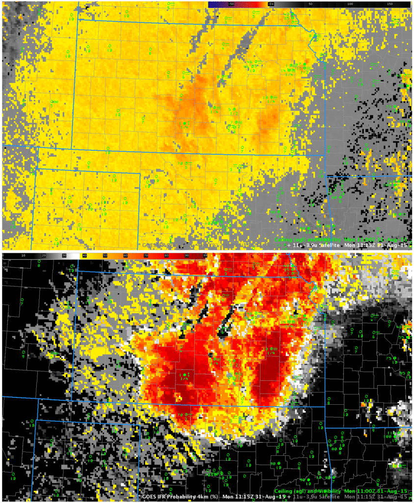
GOES-13 Brightness Temperature Difference (10.7µm – 3.9µm) (top) and GOES-R IFR Probabilities (bottom), 1115 UTC 31 August 2015 (Click to enlarge)
When the sun rises, solar radiation with a wavelength of 3.9 µm will alter the brightness temperature difference field. At night, a water-based cloud will not emit 3.9 µm radiation as a blackbody and be perceived as colder (compared to 10.7 µm). During the day, the relatively large amount of 3.9 µm radiation from the sun reflected off the cloud will make the cloud appear to be warmer (compared to 10.7 µm). Thus the signal in the brightness temperature difference field flips. In contrast, the IFR Probability field signal is not significantly perturbed by sunrise. The 1315 UTC image, below, is an example of this. The GOES-R IFR probability field also benefits from better cloud clearing during the day.

