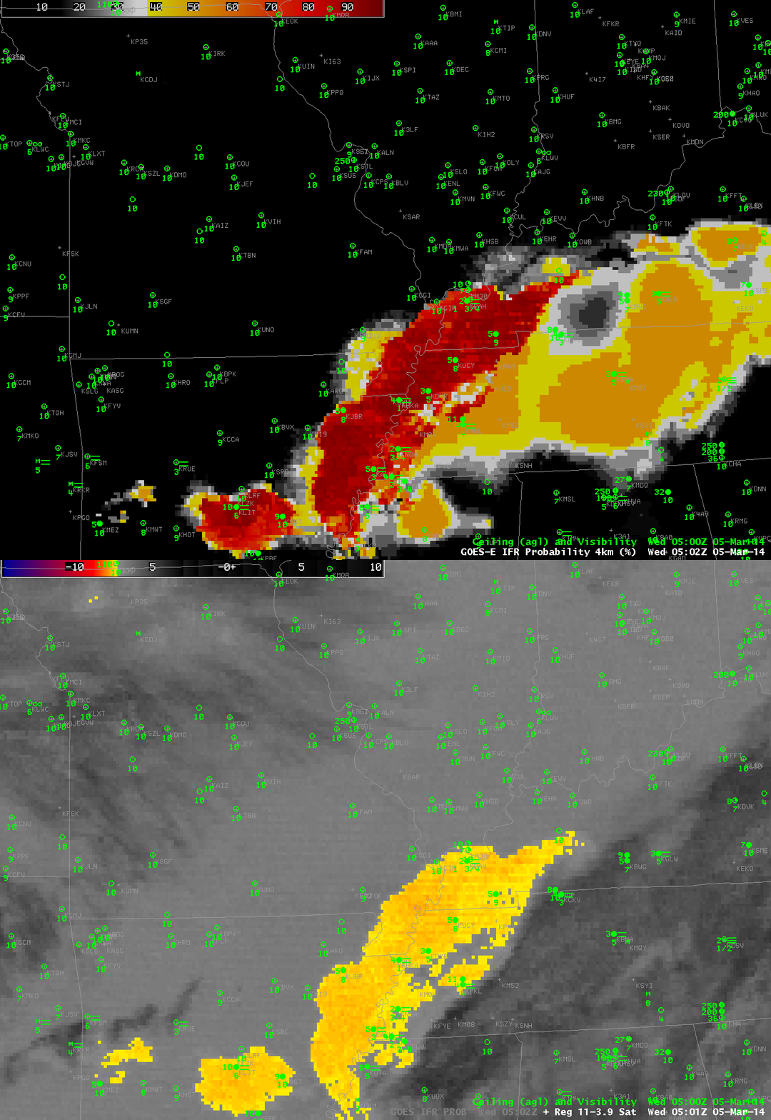
GOES-R IFR Probabilities computed from GOES-13 and GOES-East Brightness Temperature Differences (10.7 µm – 3.9 µm) at 0500 UTC on 5 March 2014 (click to enlarge)
Fog developed overnight over Tennessee on March 5th, but Cirrus clouds prevented the traditional brightness temperature difference product from observing low-level water-based clouds. It is for events like this that the IFR Probability fields (that incorporate surface-based information by way of the Rapid Refresh Model) is important. The IFR Probability fields use predictors from the Rapid Refresh model to showcase where low ceilings and reduced visibilities are most likely. Satellite predictors are unavailable where cirrus clouds are present and the probability field shows lower values. So when you see low values, make sure you understand why the values are low: is it because cirrus clouds are present?
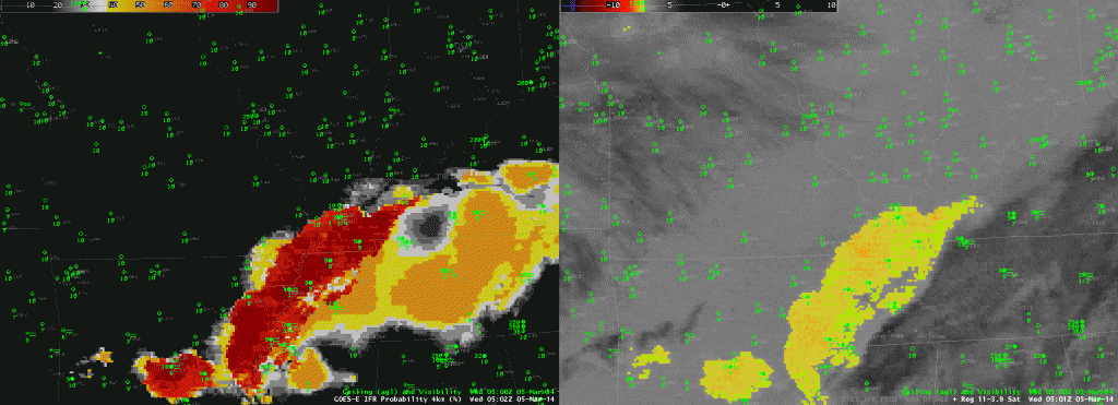
A side-by-side animation of the IFR Probabilities and the Brightness Temperature Difference Field is presented below. The effects of cirrus on the Probability field is obvious.

