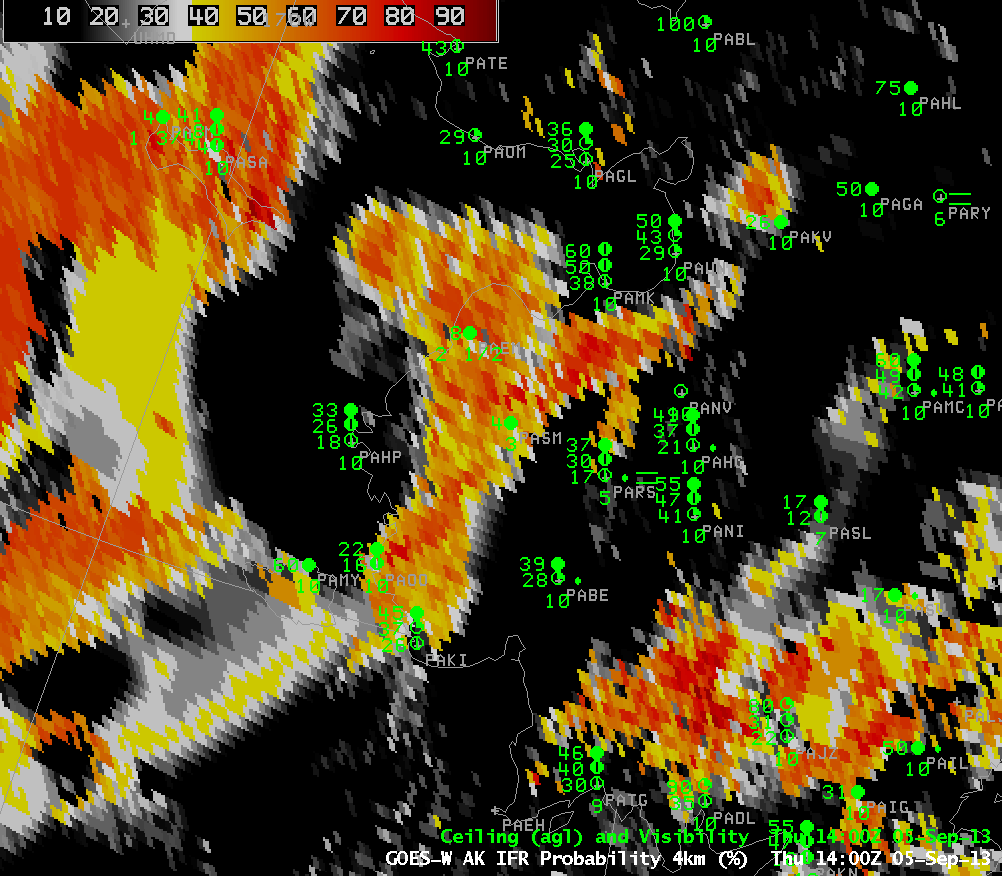
A relatively narrow band of high IFR probabilities developed over southwest Alaska, as shown in the animation above. Pay particular attention to the observations at St. Marys (PASM) and at Emmonak (PAEM). These two stations have near-IFR and IFR conditions as the high IFR Probability develops and curls over them.
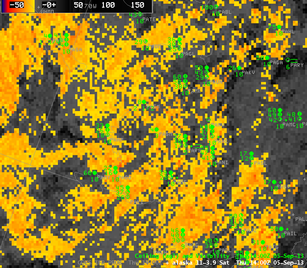
The traditional method of detecting fog and low clouds, the brightness temperature difference between the 10.7 and 3.9 micrometer channels, does not distinguish between the region with IFR conditions and adjacent regions. Adding information from the Rapid Refresh model in this case fine-tuned the depiction of where the greatest restrictions to visibility exist.
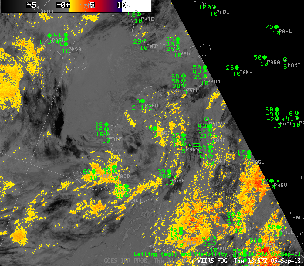
Suomi-NPP Brightness temperature difference fields (below) had a similar deficiency in precisely highlighting the region with IFR conditions.


