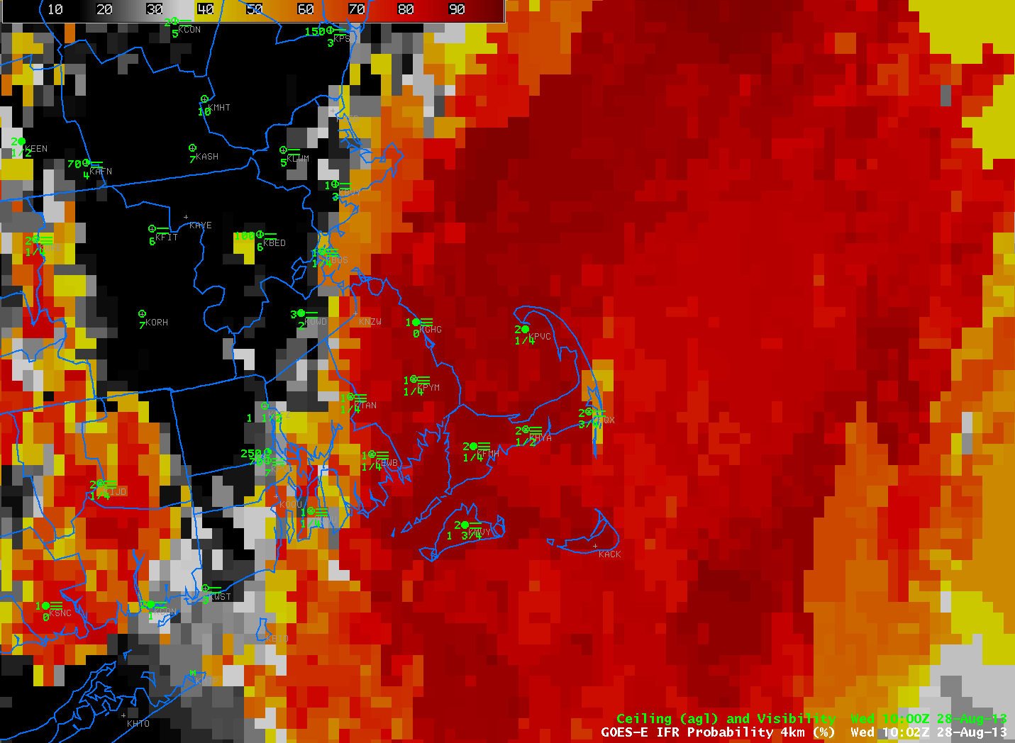
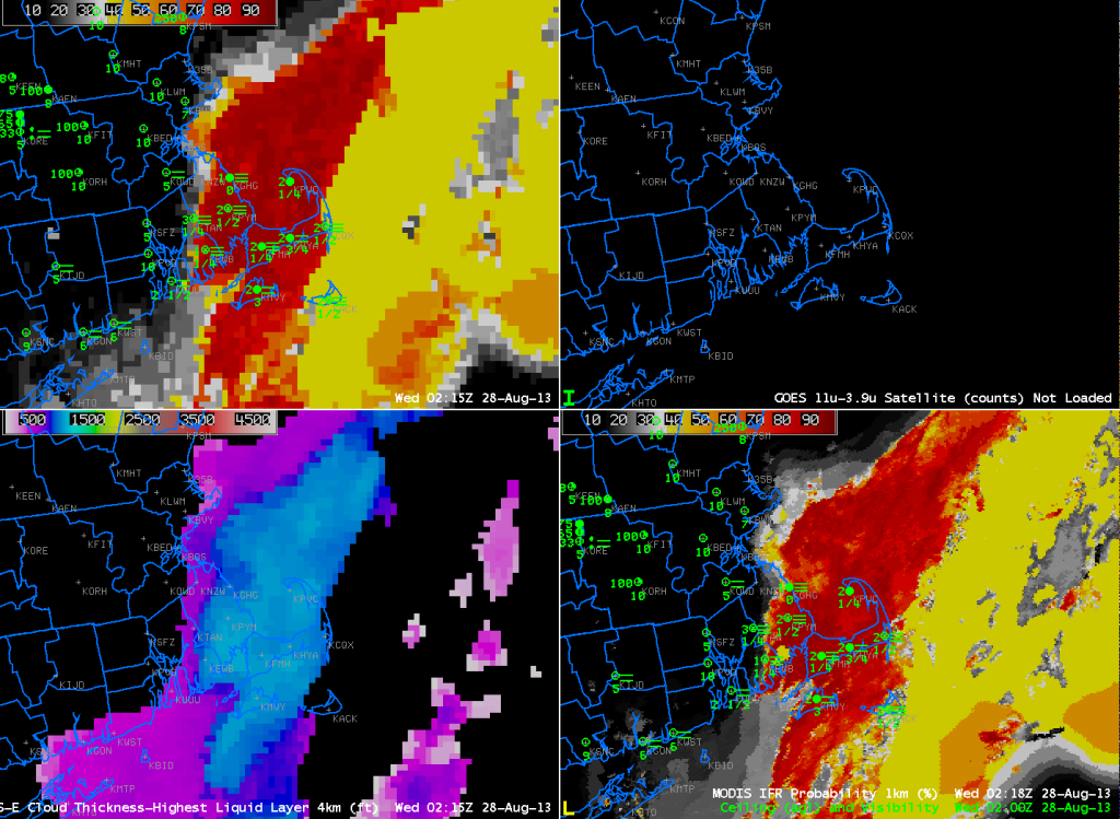
Fog developed over Cape Cod and the Islands overnight into the early morning on August 28th. The animation above (click image to animate) shows high IFR probabilities over land adjacent to the ocean. Observations show IFR or near-IFR conditions in these regions. IFR conditions decreased after sunrise. By 1410 UTC, the final image in the loop, IFR conditions persisted mostly only over Nantucket and Cape Cod east of Falmouth. This is where highest IFR probabilities persisted. The GOES-based IFR Probabilities suggest a sharp edge to the lowest visibilities over far eastern Massachusetts, which edge was just east of a Newport (RI) to Taunton (MA) line. MODIS-based IFR probabilities at 0218 UTC, below, also suggest a sharp western edge to the IFR conditions.
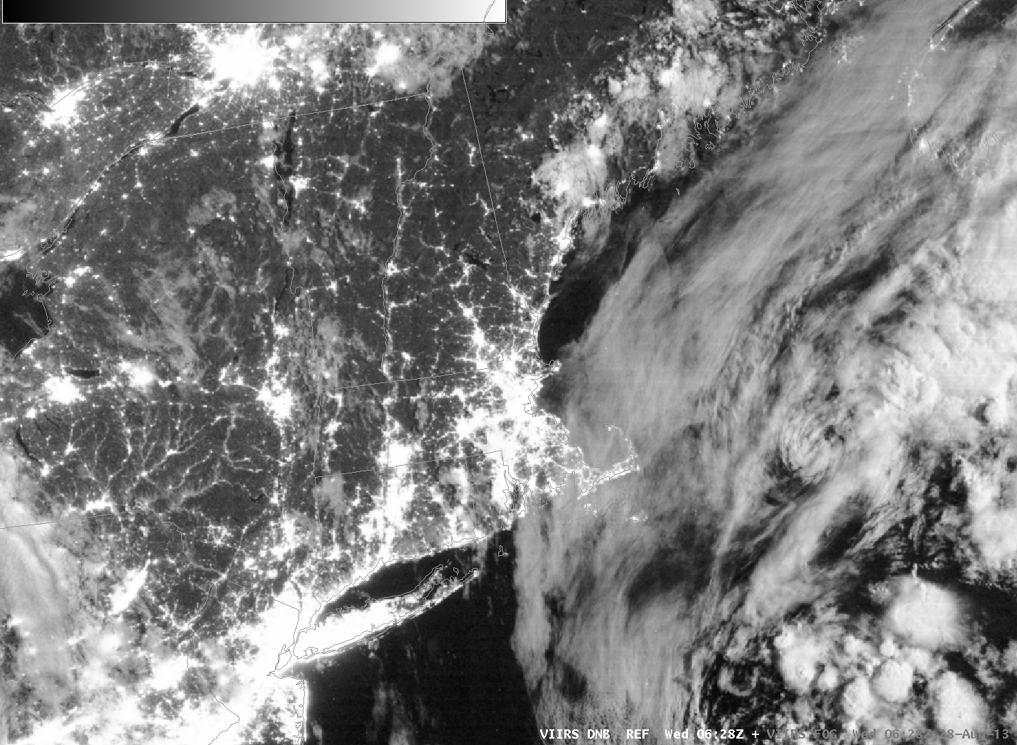
VIIRS data from Suomi/NPP includes both the Day/Night Band and a Brightness Temperature Difference. These data are toggled with the GOES-based IFR Probabilities below. Resolution limitations inherent with GOES data preclude the accurate detection of fog in small river valleys.


