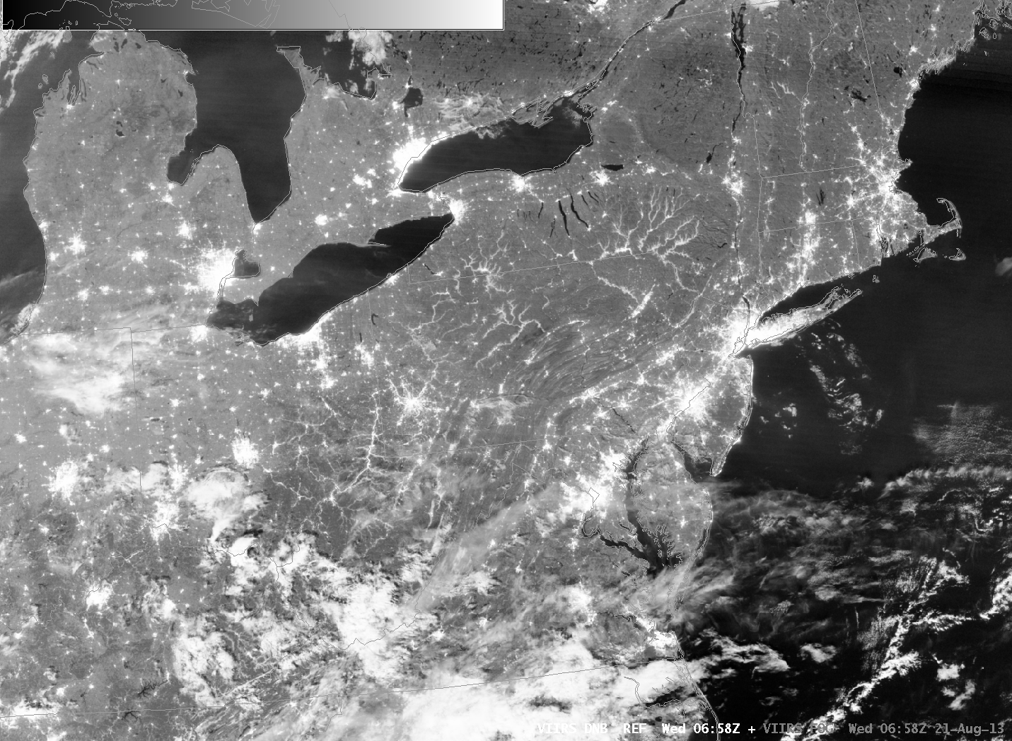
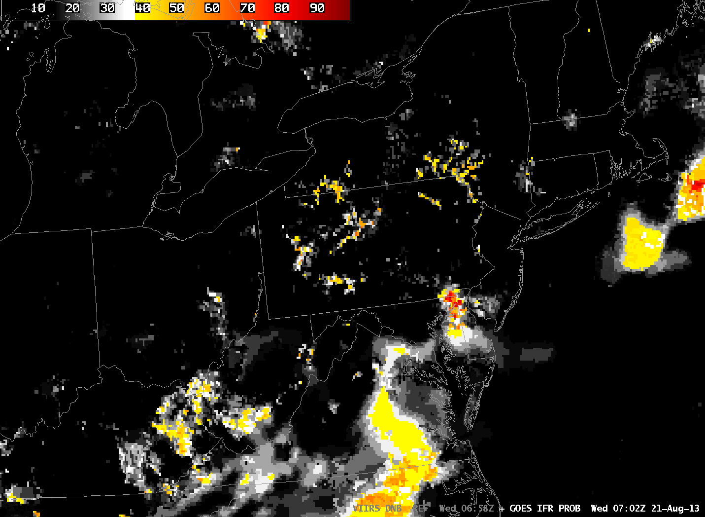
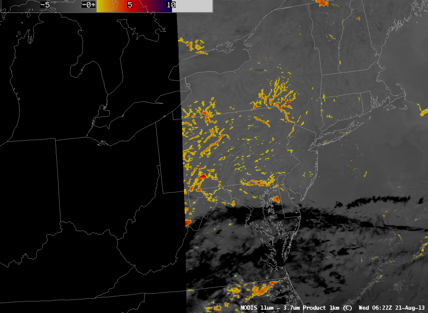
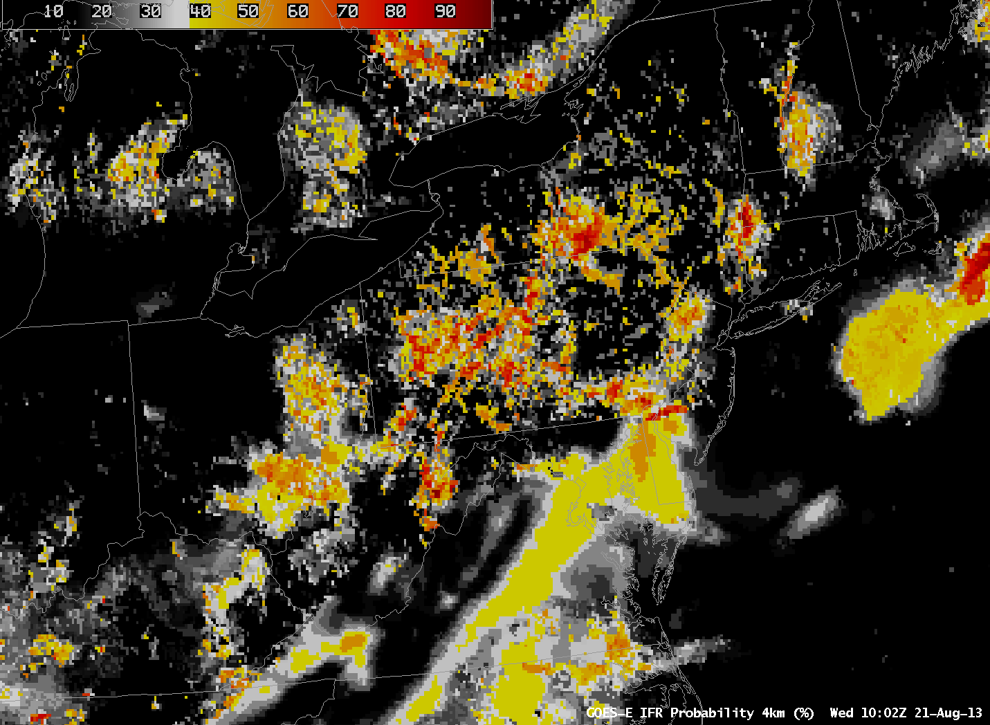
The above animation bewteen the Suomi/NPP VIIRS Day/Night Band and the brightness temperature difference between the longwave infrared image and the shortwave infrared image (that highlights water-based clouds because of emissivity differences at the two wavelengths) shows fog/low stratus in the river valleys of Pennsylvania. The high spatial resolution of Suomi/NPP allows remarkable detail, and the near-Full Moon provides ample illumination. How well did more conventional satellite imagery depict the developing fog? The GOES-13-based IFR Probability Field, below, shows relatively high values in regions over Pennsylvania that are near the river valleys, but GOES lacks the spatial resolution to portray adequately the horizontally confined river valley fog — although someone with knowledge of Pennsylvania Geography can infer a lot.
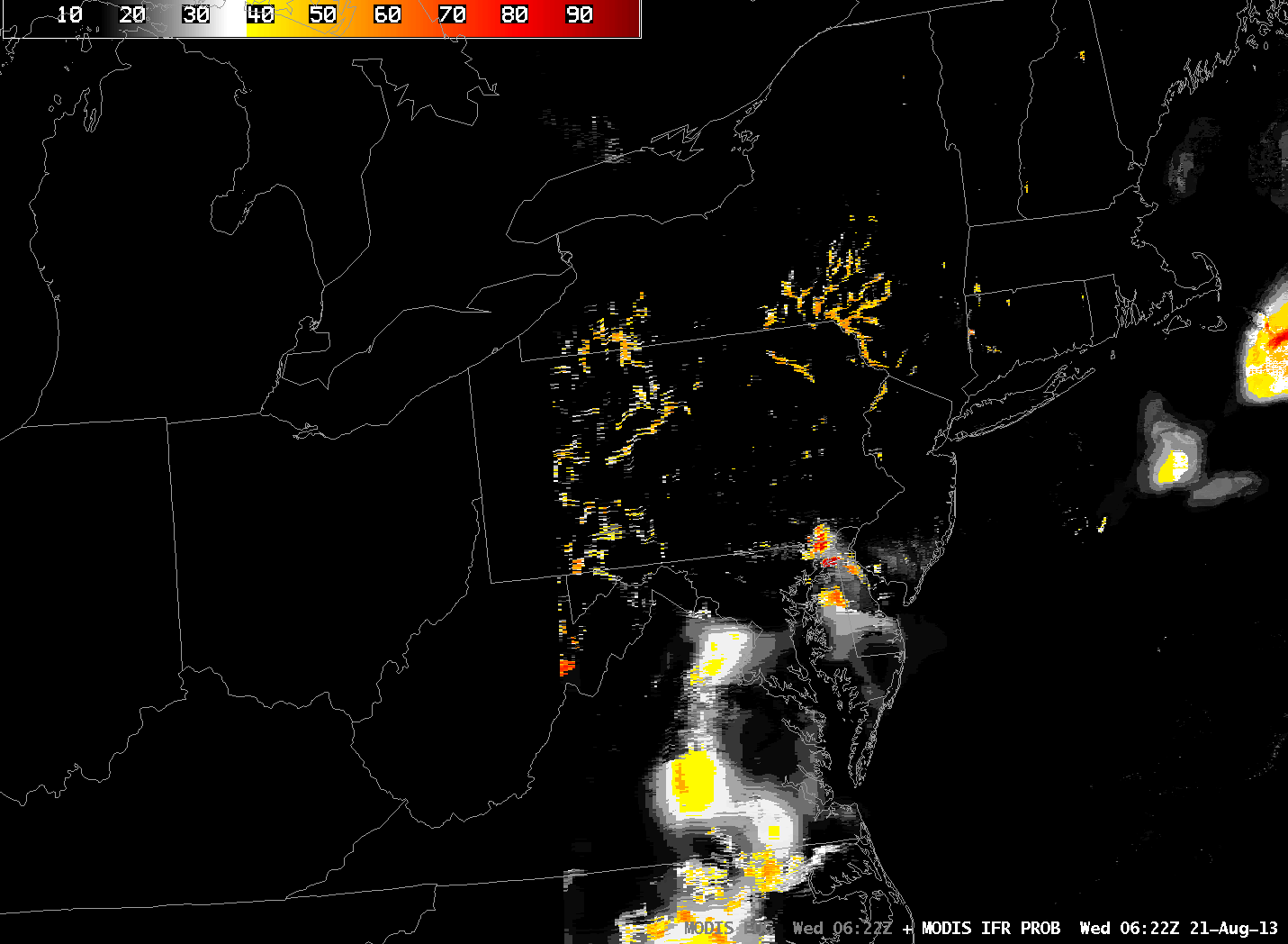
The strength of GOES imagery is temporal consistency and 15-minute timesteps. Polar orbiter data can only give occasional looks. For example, MODIS Imagery can be used to generate brightness temperature differences and IFR Probabilities, below, but they are produced only every 90 minutes at most (although they will still give useful information, even at the edges of the MODIS swath where resolution is degraded).
The animation of IFR Probabilities from GOES-East, below, nicely depicts the slow increase in Valley Fog. This animation in concert with knowledge of the geography, augmented with the occasional high-resolution imagery from polar orbiters, as above, should allow a forecaster to describe the location of fog development overnight.
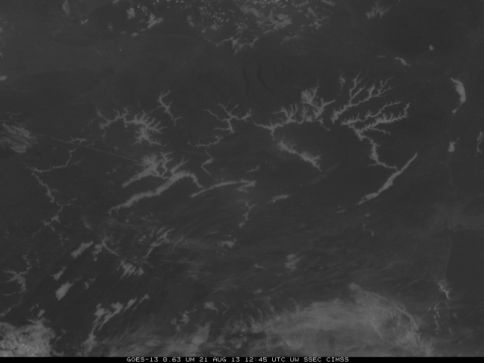
Visible imagery, below, shows the dissipation of the fog during the morning of August 21st.
Fog was also abundant over Pennsylvania the morning of 20 August. GOES-14, in SRSO-R mode, captured the dissipation. Link. (Courtesy Dan Lindsey, NOAA).

