
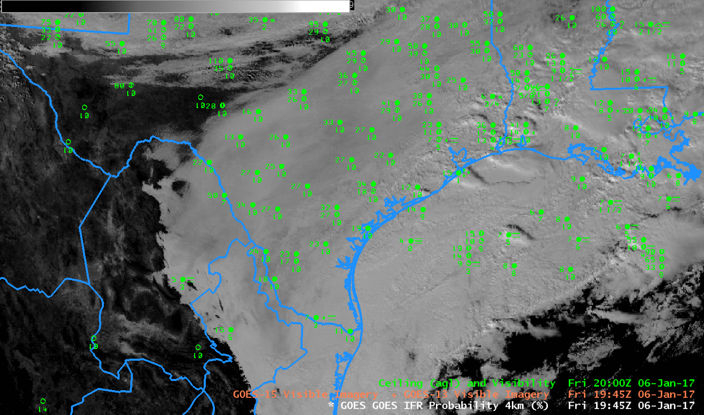
GOES-13 Visible (0.64 µm) Imagery, 1945 UTC on 6 January 2017 and surface observations of ceilings and visibilities (click to enlarge)
Visible imagery over Texas shows an extensive stratus deck blanketing the southern and eastern portions of the state. Can you tell at a glance — without looking at the observations — if the stratus is extending to the surface? The animation below shows how GOES-R IFR Probabilities describe the scene, with highest IFR Probabilities offshore (where dense fog is observed over the warm water). Higher Probabilities also hug the high terrain of eastern Mexico, where IFR conditions are also reported (at Monclova, ID MMMV, where a 500-foot ceiling and 3-mile visibility is reported). The toggle below cycles through the visible and GOES-R IFR Probability fields and also includes terrain.
GOES-R IFR Probability provides useful situational awareness information during the daytime as well as at night.
GOES-13 Visible (0.64 µm) Imagery, 1945 UTC on 6 January 2017 and surface observations of ceilings and visibilities, and with surface analysis superimposed, as well as GOES-R IFR Probabilities (1945 UTC) and Terrain (click to enlarge)