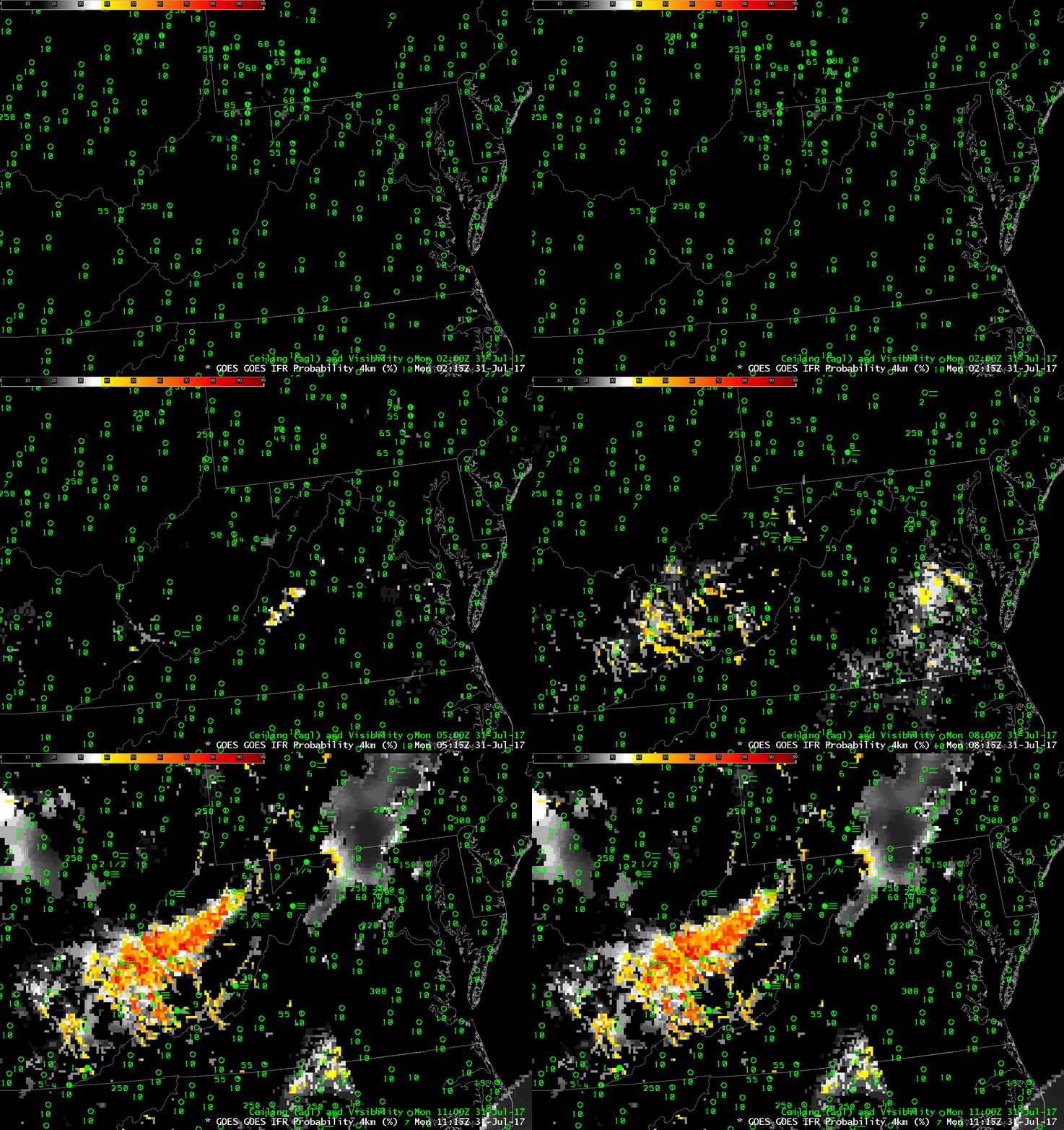
GOES-R IFR Probabilities computed with GOES-13 and Rapid Refresh Data, Hourly from 0215-1115 UTC on 31 July 2017 (Click to enlarge)
GOES-R IFR Probabilities are computed using Legacy GOES (GOES-13 and GOES-15) and Rapid Refresh model information; GOES-16 data will be incorporated into the IFR Probability algorithm in late 2017
The animation above shows the evolution of GOES-R IFR Probability fields over West Virginia early on 31 July 2017, when IFR and Low IFR Conditions developed over much of the state. In addition to elevated probabilities over West Virginia, probabilities increased over eastern Virginia as well, where IFR conditions were not reported. The IFR probabilities over eastern Virginia diminished rapidly at sunrise, as indicated at the end of the animation.
Much of the fog on 31 July 2017 over West Virginia was valley fog. Legacy GOES (GOES-13 and GOES-15) has nominal 4-km resolution at the sub-satellite point, and this resolution can be insufficient to resolve the narrow valleys of the Appalachian Mountains.
GOES-16 data posted on this page are preliminary, non-operational and are undergoing testing
The GOES-16 Animation below shows the 10.3 µm – 3.9 µm Brightness Temperature Difference field for approximately the same time as above. The superior spatial resolution of GOES-16 is evident: tendrils of low clouds/fog are apparent in the animation that until sunrise highlights in green the clouds composed of water droplets (such as fog and stratus). A similar animation of the Nighttime Microphysics RGB Composite (here) similarly highlights stratus (as a whitish color) in the narrow river valleys.
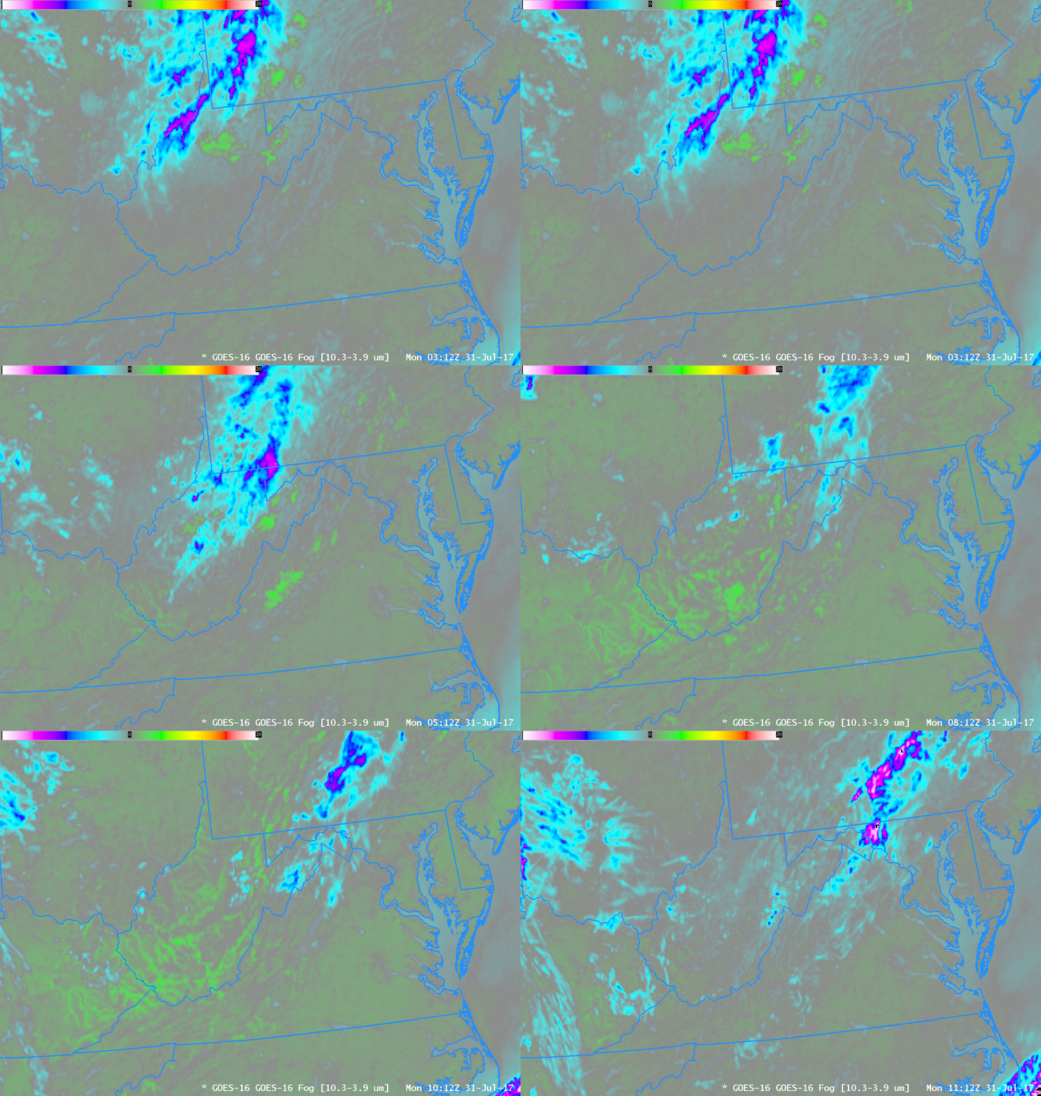
GOES-16 Brightness Temperature Difference Fields (10.3 µm – 3.9 µm), hourly from 0312 – 1112 UTC on 31 July 2017 (Click to enlarge)
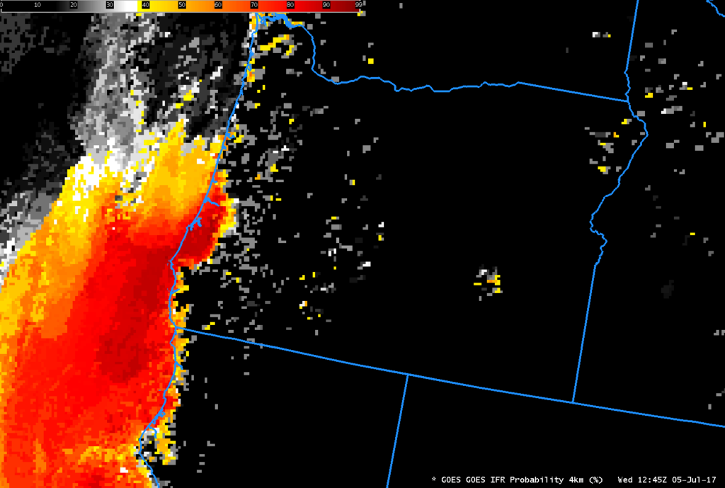
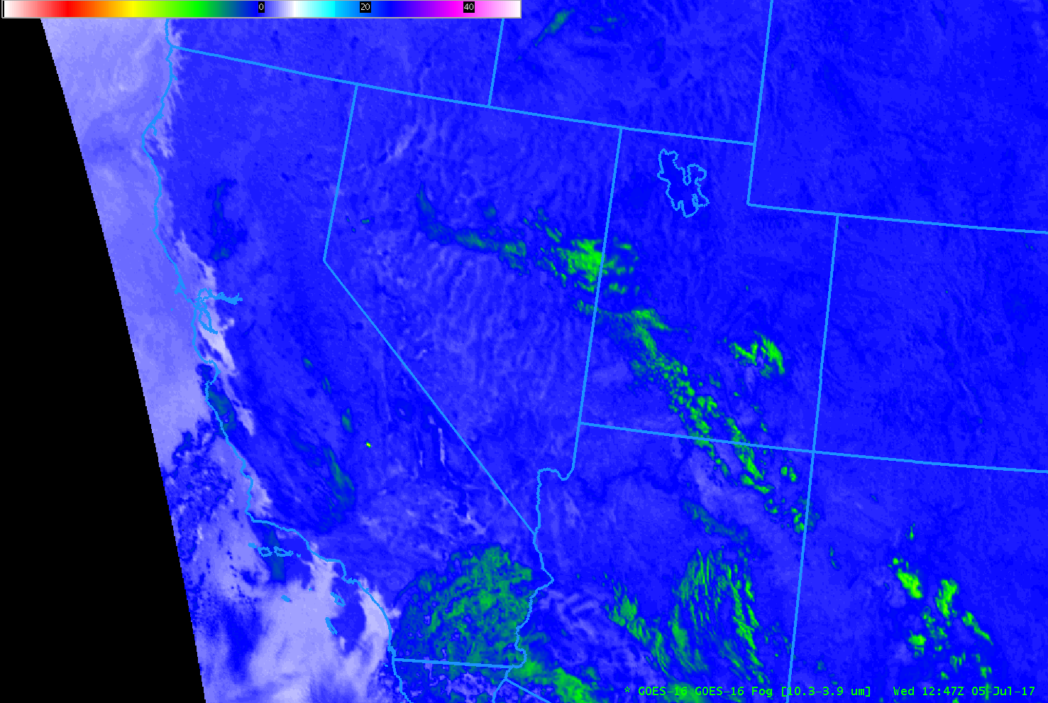
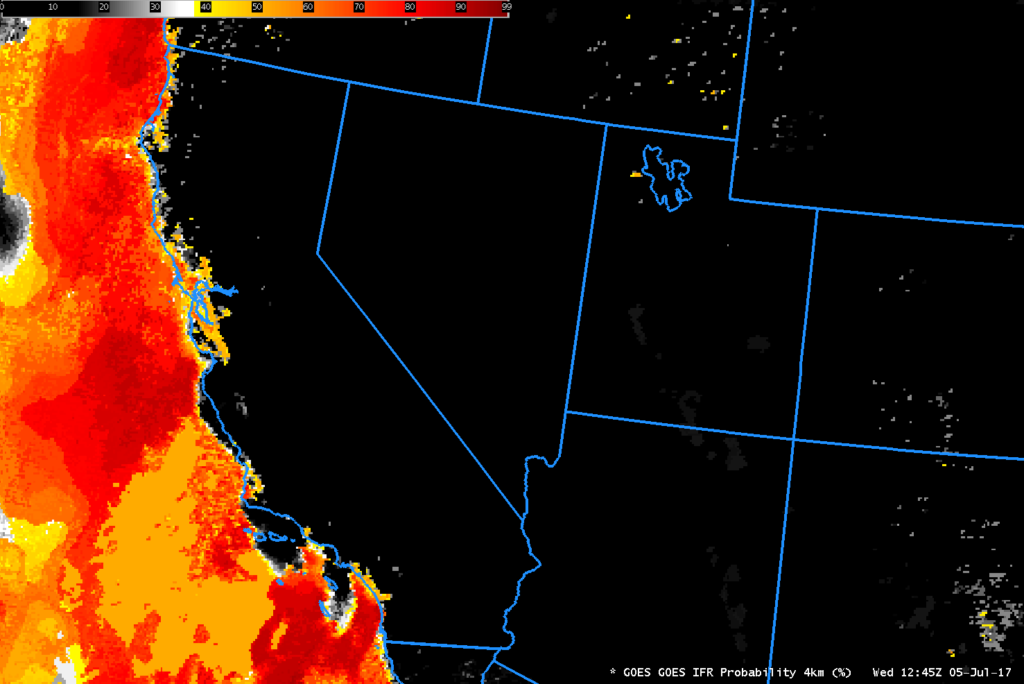
This Toggle between the GOES-R IFR Probability and the GOES-16 Brightness Temperature Difference field at 1015 UTC suggests how the IFR Probability Fields will better handle small valley fogs when GOES-16 data are used in the algorithm.


