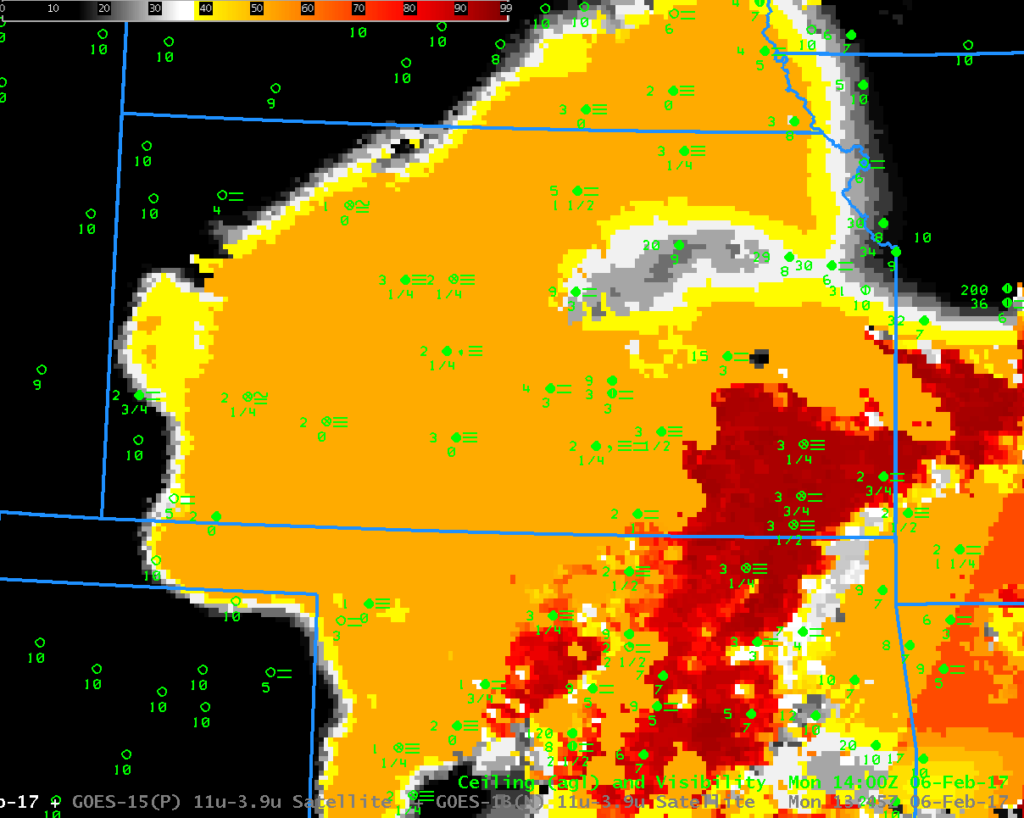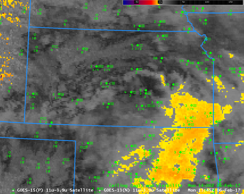
GOES-R IFR Probability fields, 1345 UTC on 6 February 2017, along with 1400 UTC surface observations of ceilings and visibilities (Click to enlarge)
Dense Fog Advisories were issued for much of central Kansas early on 6 February 2017. This was an example of how GOES-R IFR Probability fields (above) can help identify regions of dense fog when high clouds prevent satellite detection of low clouds. The brightness temperature difference field, below, shows high clouds over much of Kansas — it’s therefore very difficult to relate cloud signatures to obstructions to visibility near the surface. In contrast, IFR Probability fields, above, use saturation in the lowest part of the Rapid Refresh Model and capably highlight regions where fog/low ceilings are occurring.

