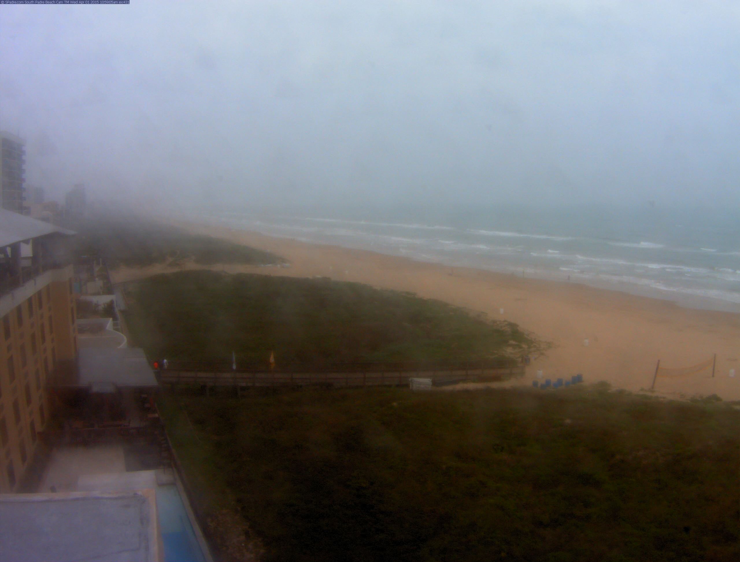
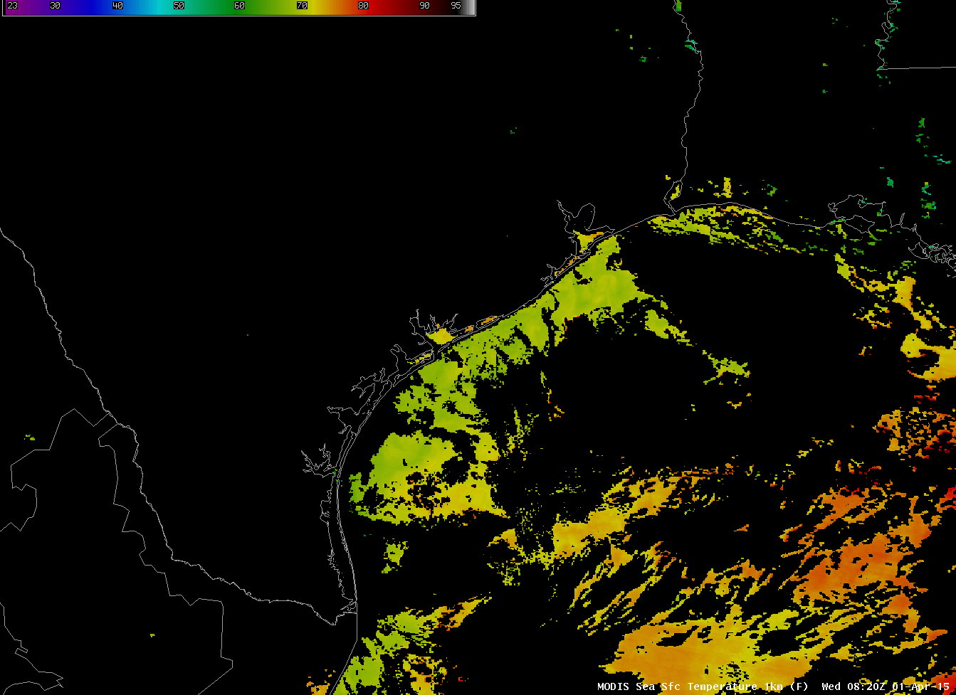
Webcam imagery from South Padre Island between 10 and 11 AM on 1 April (above, from this site) showed dense fog that had rolled in from the sea. This is likely an advection fog formed as humid air over the Gulf of Mexico moved over relatively cooler shelf water. SSTs in the region were in the upper 60s (Fahrenheit) as depicted by the image below.
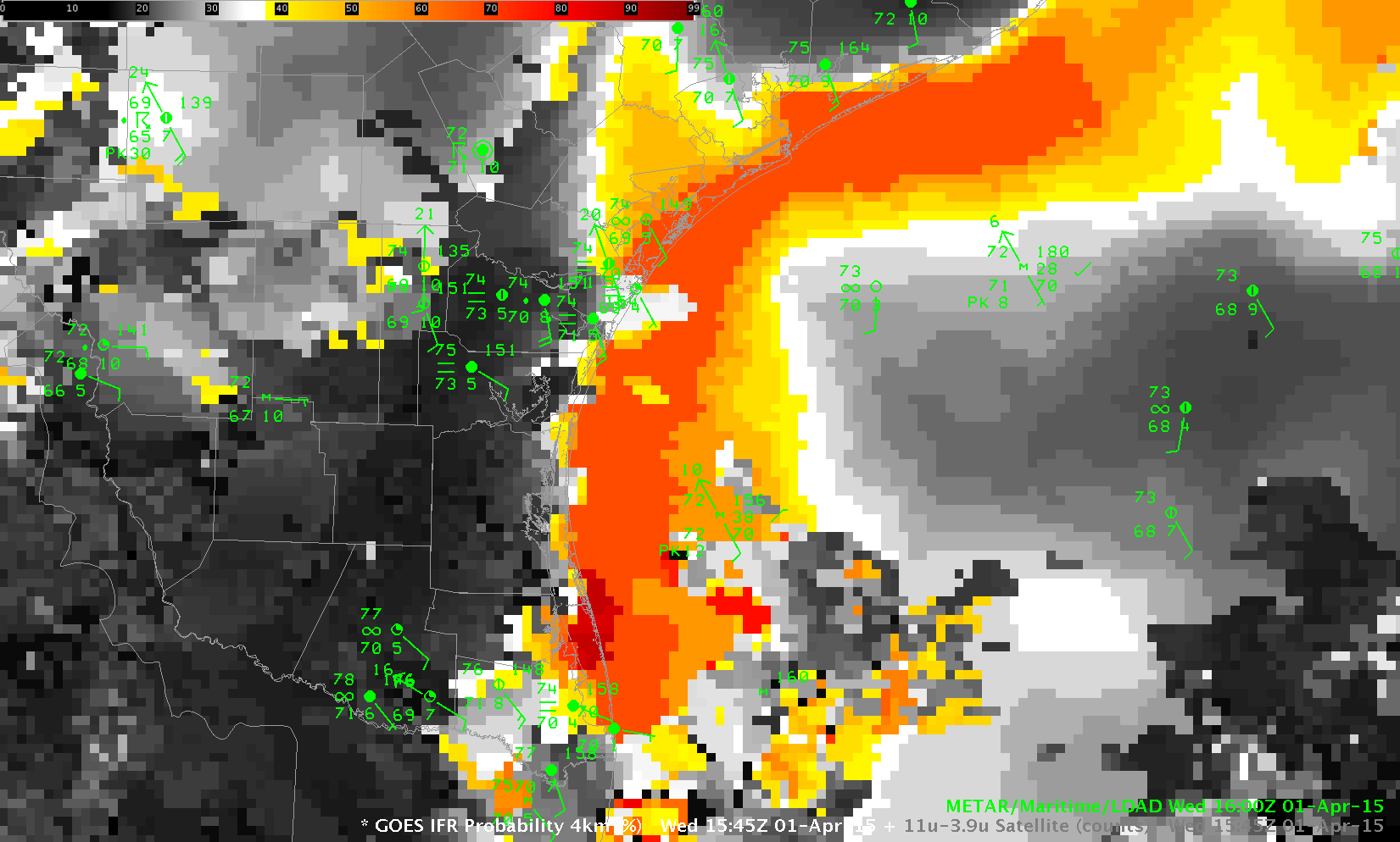
GOES-R IFR Probabilities, below, suggested the presence of the IFR conditions that existed at the coast. Very high probabilities are concentrated near South Padre Island, and spread north and northeastward, with highest values hugging the shoreline.

GOES-R IFR Probabilities computed from GOES-East and Rapid Refresh Data, 1545 UTC on 1 April 2015 (Click to enlarge)
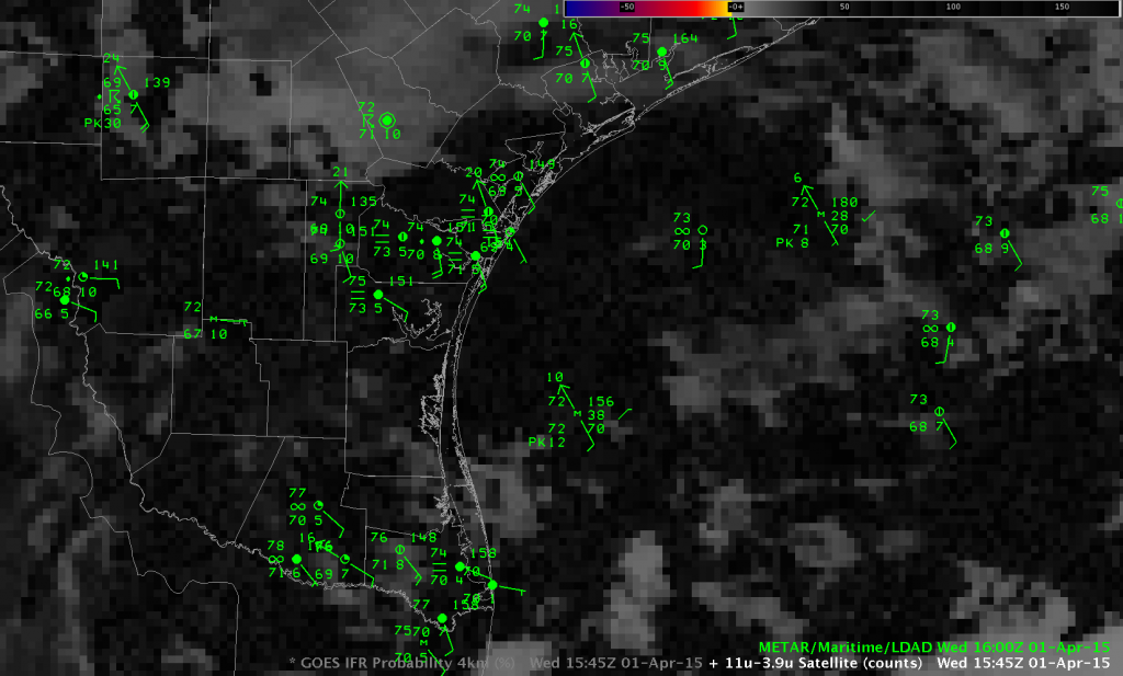
Brightness Temperature Difference fields at the same time gave little surface information because of the presence of high clouds.
A similar event occurred in March 2015 along the Florida Atlantic Coast. (Link).


