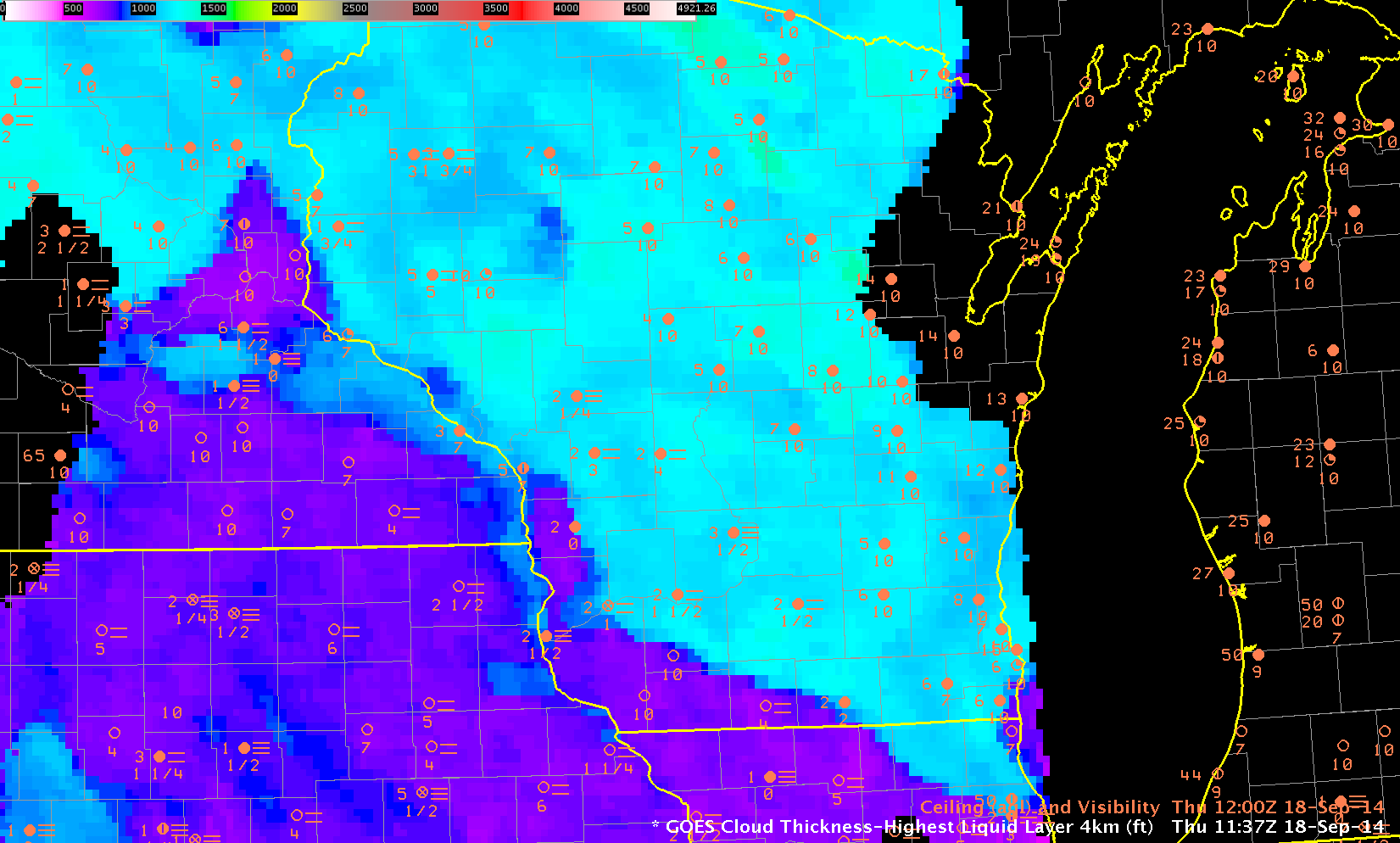
GOES-R Cloud Thickness over Wisconsin and surrounding States, 18 September 2014, just before sunrise (Click to enlarge)
GOES-R Cloud Thickness can be used as a predictor for dissipation time of Radiation Fog, using this chart and the thickness (as above) from the last pre-dawn GOES-R Cloud Thickness field (Recall that GOES-R Cloud Thickness is not computed in the few hours of twilight surrounding sunrise or sunset; in the image above, twilight has reached lower Michigan but not yet Wisconsin). However, it’s important to remember that the chart is valid for radiation fog. Other forcings might cause fog to dissipate (or persist).
In the example above, Cloud Thickness values ranges from around 700 over southwest Wisconsin to as much as 1400 over north-central Wisconsin. Most of south-central Wisconsin (cyan) has values around 1200. According to the best-fit line, that suggests a burn-off time of more than 5 hours (although those values are extrapolated; note that no values that large went into the creation of the best-fit line) over WI, except over southwestern WI where a burn-off time of less than 1 hour is predicted. Did that work out?
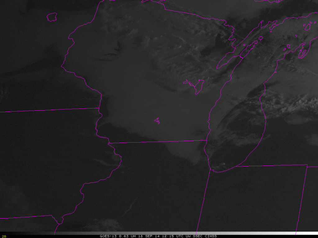
The animation below shows fog/low stratus moving towards the southwest with time. The cool and damp northeasterly flow from the Great Lakes into Wisconsin (surface map at 1800 UTC on 18 September) suppressed the heating necessary to reduce the relative humidity and foster fog evaporation. Perhaps the fog initially formed as advection fog; however, the northeasterly flow that developed early in the morning on 18 September came from a synoptic set-up that allowed fog to persist longer than the GOES-R Cloud Thickness algorithm suggests. This is not an uncommon occurrence. Clouds did not burn off over south-central WI until after 1800 UTC. During September, delayed burn-off of morning clouds can significantly affect the day-time temperature.
=============================================================================
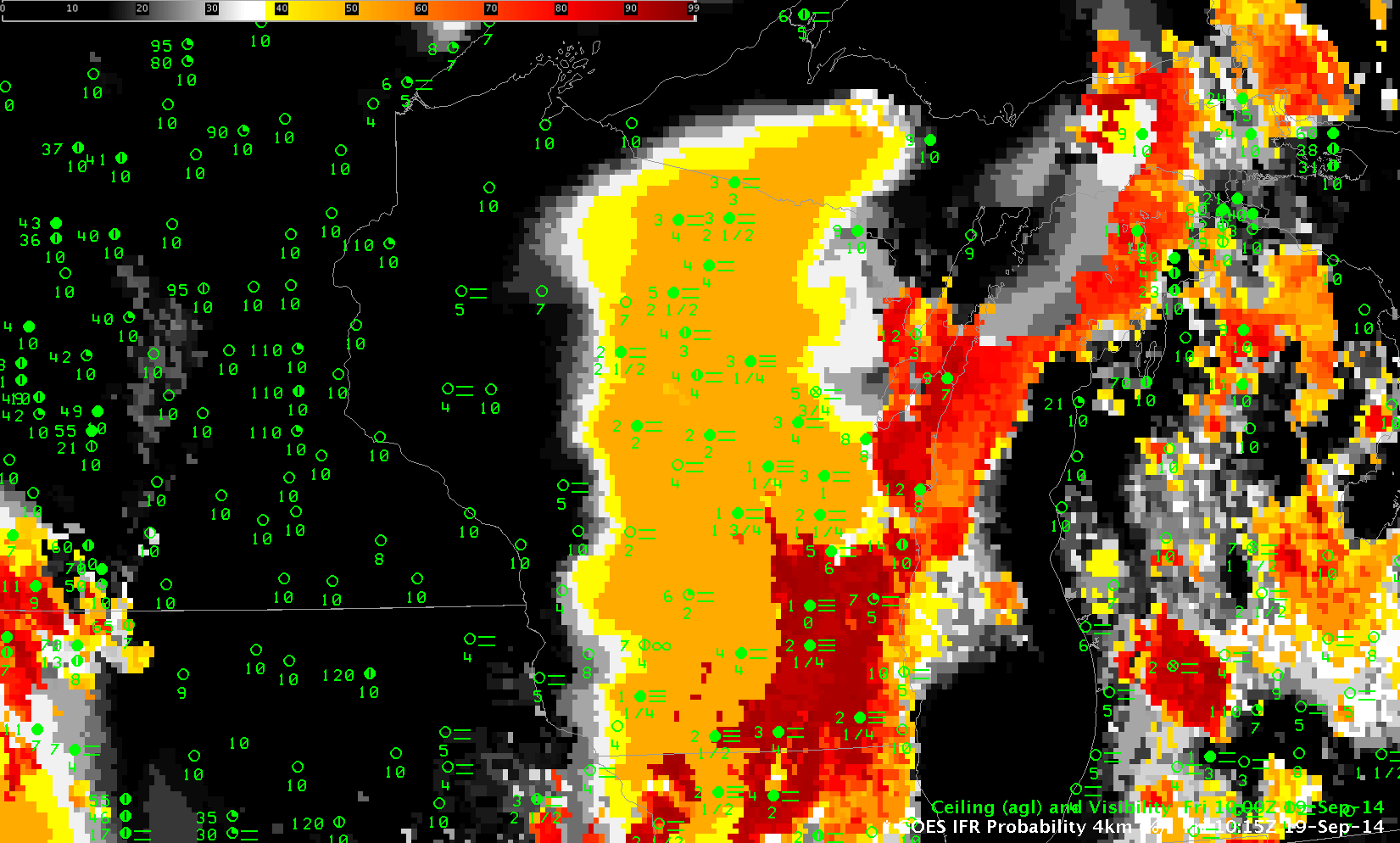
Low clouds and fog redeveloped during the morning of the 19th of September as well. This occurred during persistent southerly flow in advance of a low pressure system over the Northern Plains. The hourly animation of IFR Probabilities, below, shows IFR Probabilities developing over the course of the early morning of the 19th between 0315 and 1215 UTC. The animation shows a gradual overspreading of the IFR Probability field with higher clouds moving in from the west. (Here is a toggle between IFR Probability and GOES-13 Brightness Temperature Difference Fields at 1115 UTC; note how smooth the field is over much of WI where only Rapid Refresh model data can be used in the computation of the IFR Probability).
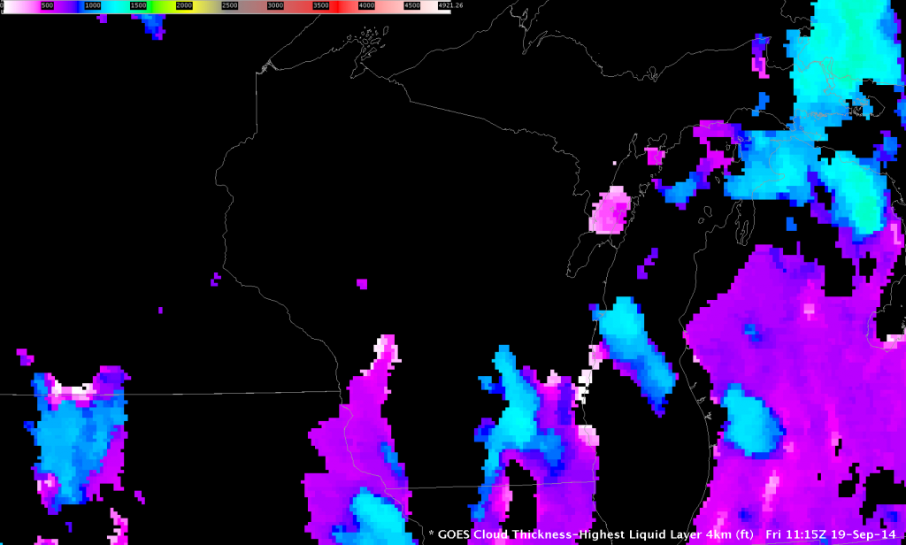
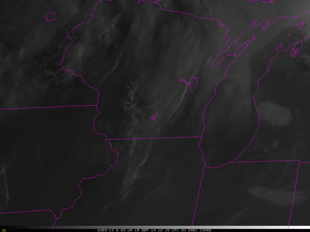
When high clouds overspread the scene, GOES-R Cloud Thickness is not computed. Thus, the last image before twilight, below, shows Cloud Thickness in only a few locations, but those values over southeast Wisconsin exceed 1200 feet, suggesting a burn-off of around 1615 UTC — 5 hours after this last Cloud Thickness image. In this case, that is an overestimate because the southerly winds over WI promote mixing, and the fog quickly dissipates after sunrise. It’s important to consider the synoptic forcing when you use Cloud Thickness. The last Cloud Thickness field and its use as a predictor for fog dissipation (using this chart) is most useful for radiation fog. The visible imagery animation at the bottom shows that the fog dissipated by 1415 UTC.

