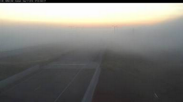
The NWS Office in Sioux Falls tweeted a picture of fog near Kimball, SD, in Brule County (below).

Webcam image of Fog along I-90 in central South Dakota near Kimball, after sunrise on 17 September 2014
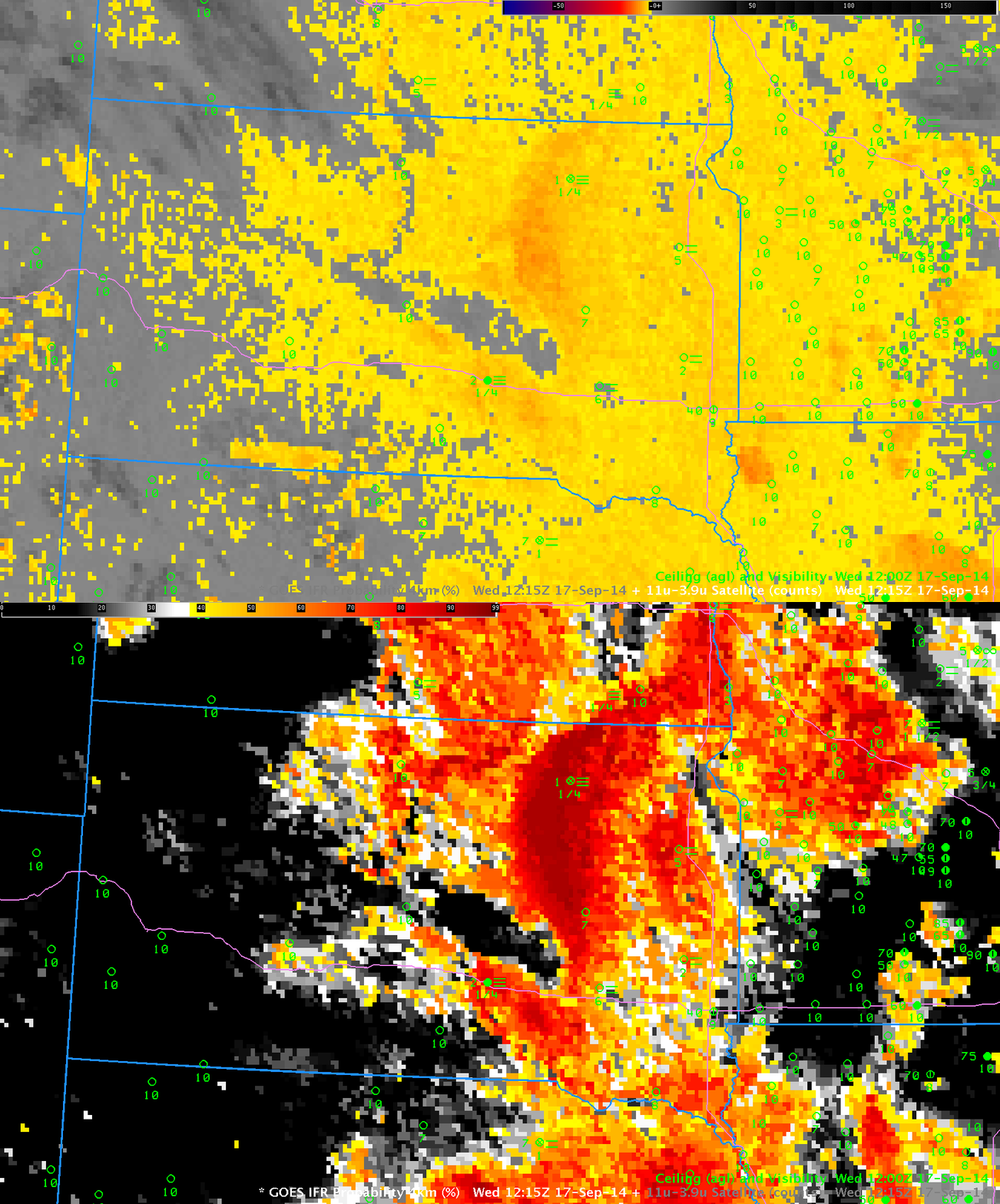
The toggle below shows the Brightness Temperature Difference Field from GOES-13 (10.7 µm – 3.9 µm) and the GOES-R IFR Probability fields computed using data from GOES-13 and the Rapid Refresh Model. The Brightness Temperature Difference field detects the presence of water-based clouds (yellow and orange in the enhancement used) and works because such clouds have difference emissivity properties at 3.9 µm and 10.7 µm. Temperatures inferred from the 3.9 µm radiation detected are cooler than those temperatures inferred from the 10.7 µm radiation because water-based clouds do not emit 3.9 µm radiation as blackbodies. The Brightness Temperature Difference field gives information about the top of the cloud only, however, and it typically overestimates regions of fog/low stratus. That is the case on the morning of 17 September 2014. For example, IFR Conditions are not reported over much of southeastern South Dakota or western Minnesota along Interstate 90. The IFR Probability algorithm is correctly minimizing the influence of the strong brightness temperature difference signal there because Rapid Refresh Data is not showing boundary-layer saturation. The highest IFR Probabilities in South Dakota are associated with reported IFR Conditions, for example at Chamberlain, SD (west of Kimball SD and also in Brule County) and at Aberdeen in northeastern South Dakota.

