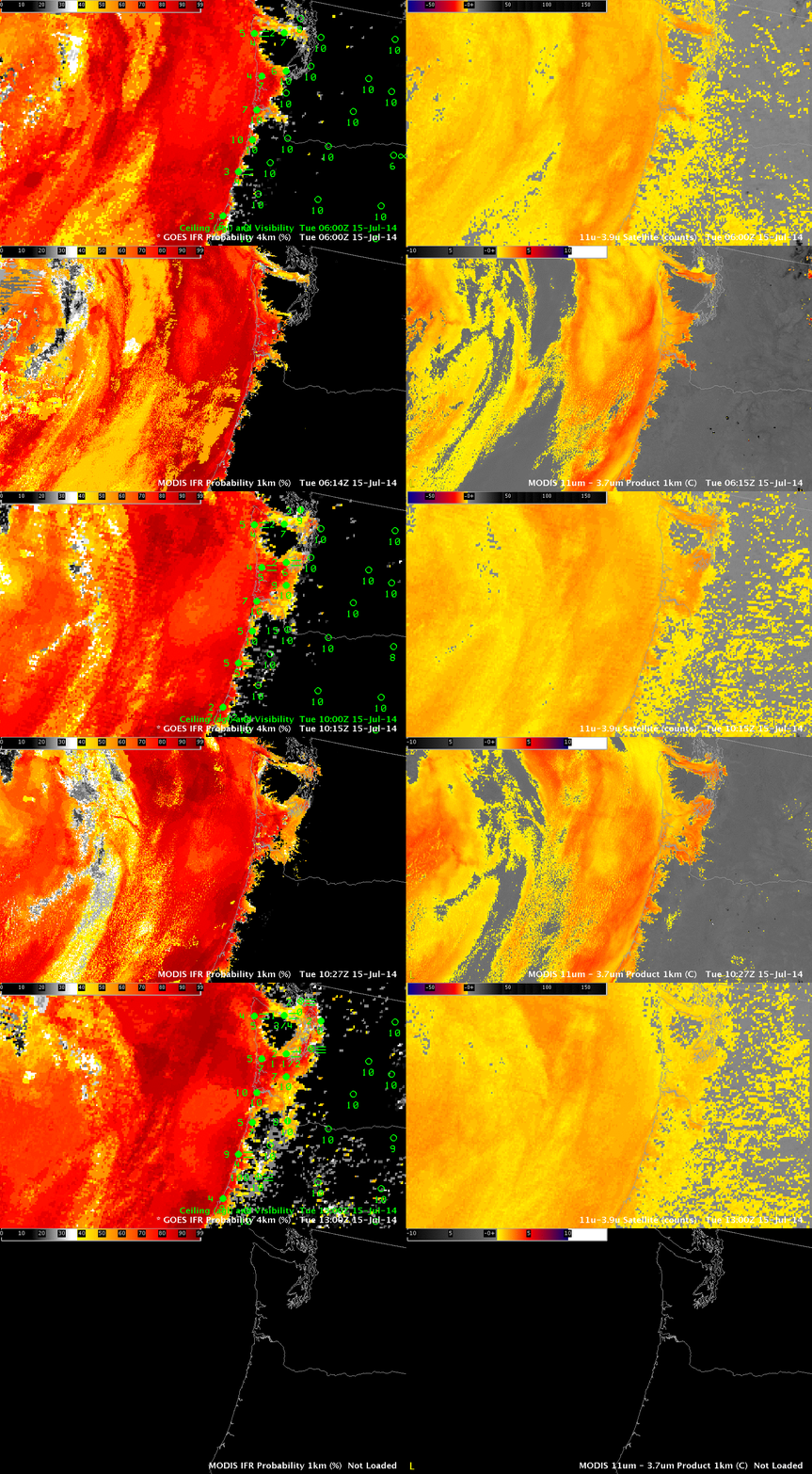
IFR Probabilities (Left) from GOES-15 Imager (Upper Left) and MODIS (Lower Left), Brightness Temperature Difference (11 µm – 3.9 µm) (Right) from GOES-15 Imager (Upper Right) and MODIS (Lower Right). Terra data used at 0614 UTC, Aqua data used at 1027 UTC. All times as indicated. (Click to enlarge)
The Pacific Northwest is far from the sub-satellite point of GOES-West. Pixel size there is therefore greater than the nominal 4-km size at the sub-satellite point: Pixel size is more like 8 kilometers in the north-south by 5 kilometers in the east-west. The animation above shows GOES- and MODIS-based IFR Probabilities and Brightness Temperature Difference Products.
Both GOES and MODIS IFR Probabilities show an expansion (as observed) of reduced ceilings and visibilities as marine stratus penetrates inland over coastal Washington and Oregon. The visibility at Seattle drops as the high probabilities overspread the region. MODIS resolution is better able to depict the fingers of fog/stratus that penetrate up river valleys along the coast. GOES Temporal resolution, however, means that frequent updates are available. (Note the lack of MODIS data at 1300 UTC).
The brightness temperature difference fields from GOES and MODIS are different. The GOES field has a considerable false signal (as far as fog is concerned) related to changes in surface emissivity that occur in the arid intermountain west during summer. MODIS fields show less of this false signal because of differences in the spectral width of the channels.
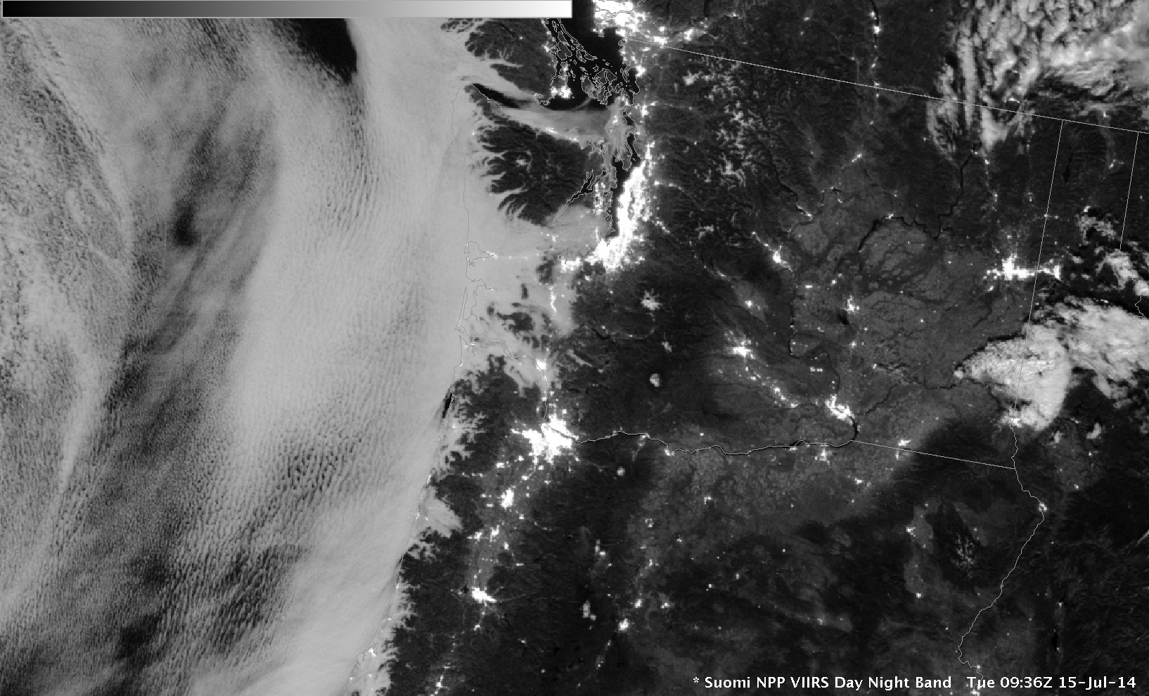
The Day/Night band on Suomi NPP, below, also shows the extent of stratus over coastal Oregon and Washington. This visible image uses reflected lunar light for illumination.

