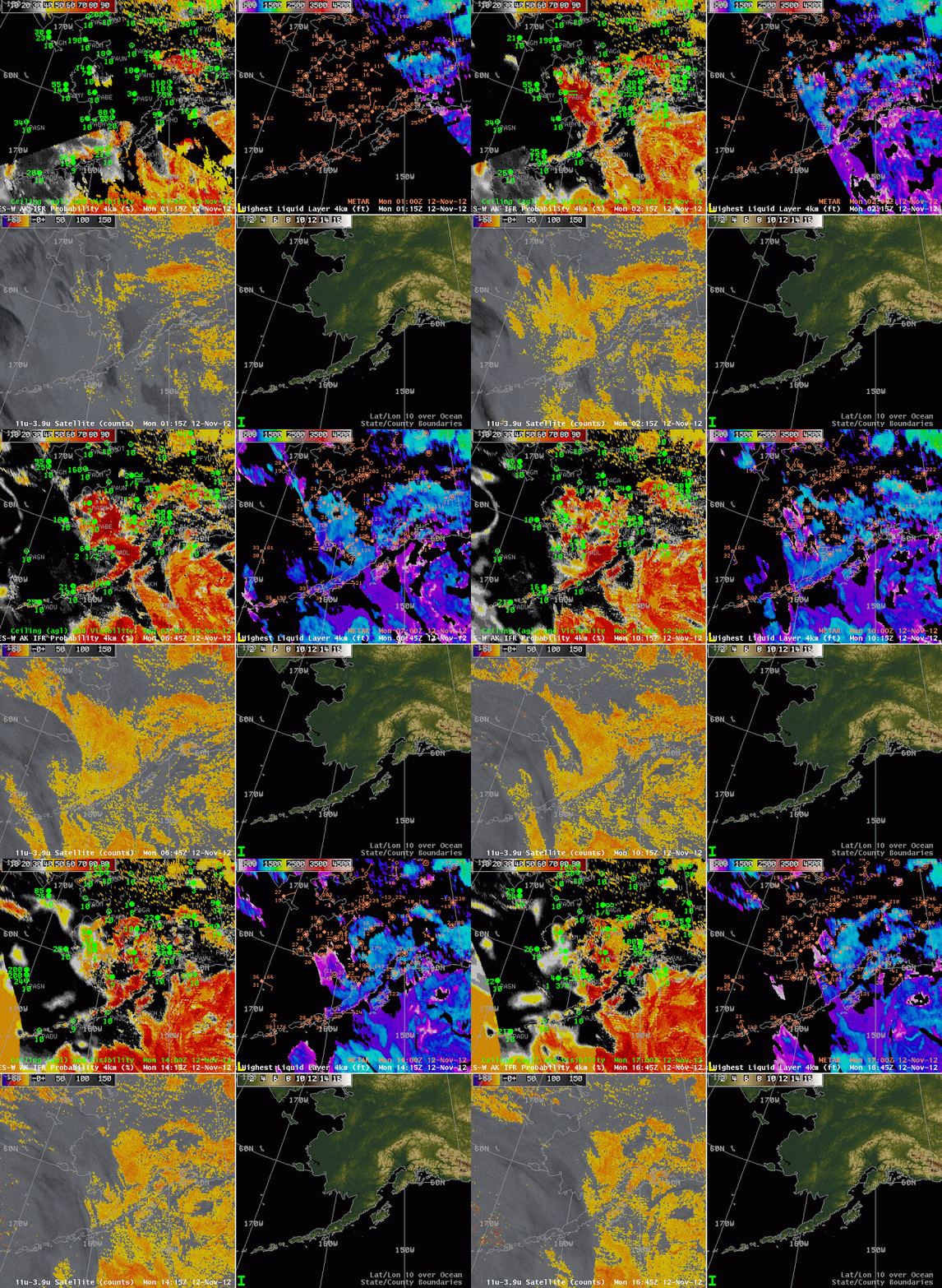
(Stations discussed below: Bethel (PABE) and McGrath (PAMC) on the Kuskokwim River, Sparrevohn Air Force Base (PASV), Dillingham (PADL), Cape Newehnam Air Force Base (PAEH) and St. Marys (PASM) on the Yukon River)
Portions of Southwestern Alaska in the Kuskokwim and Yukon River valleys experienced IFR or near-IFR conditions overnight between 11 and 12 November. How did the half-hourly animations of GOES-R IFR probability and cloud thickness (as well as the traditional brightness temperature difference product) depict those reduced visibilities?
The beginning of this animation shows the effect of twilight conditions on the Cloud Thickness Product (upper right); this product shows the thickness of the highest boundary layer cloud during non-twilight conditions. If twilight conditions are occurring, or if higher clouds are moving into a region (as is occurring over Nushagak and Bristol Bays near Dillingham at the end of the animation), then the product is not generated.
The area of IFR conditions over southwest Alaska from St. Marys to Sparrevohn, McGrath and Bethel southwestward to Dillingham is depicted will in the IFR Probability fields. Light winds in this region are allowing the low clouds to develop. Relatively high values of IFR Probabilities, and the pixelated look to the field mean that both satellite and model predictors are being used over most of this region in computing the IFR probabilities. An exception occurs over Cape Newenham near the end of the animation when lower IFR probabilities and a smoother field suggest that satellite-based predictors are not being used (because of the presence of multiple cloud layers). This is also true of regions in the far southwestern part of the shown domain at the end of the animation.

