")
GOES-14 0.62 µm Visible images (click image to play animation)
GOES-14 is in experimental SRSO-R mode for the next few weeks, and the 1-minute imagery it is yielding provides a close look at the dissipation of fog after sunrise. In this example, fog in the Wisconsin River Valley burns off. How did ‘conventional’ observations of the fog produced from GOES-13 and the Rapid Refresh Model observe this small region of fog? Hourly imagery of IFR Probabilities, below, show the development of highest probabilities along the Wisconsin River. This is a region where IFR conditions were observed around sunrise.
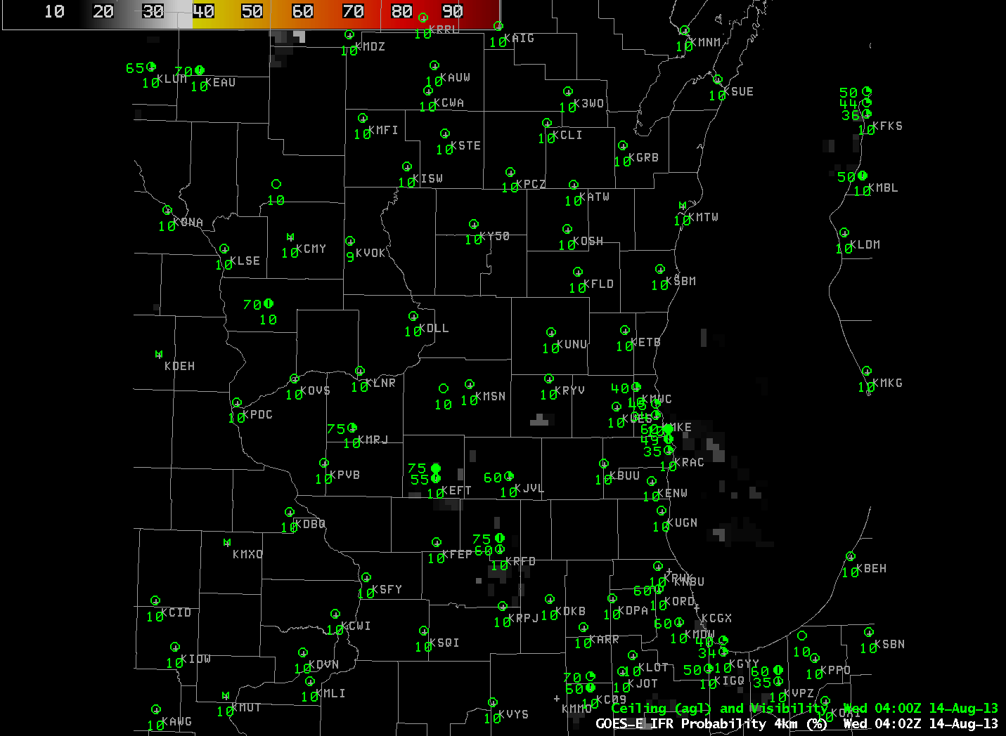
GOES-R IFR Probabilities (click image to play animation)
GOES-R Cloud Thickness, below, also shows a signal over the Wisconsin River, with maximum cloud thickness around 800 ft. According to this chart, a fog with a thickness of 800 feet should burn off in between 1 and 2.5 hours. The GOES-14 animation confirms this prediction. Fog dissipates shortly after 1400 UTC. Note that the GOES-R Cloud Thickness loop, below, terminates at 1102 UTC, the last image before twilight conditions necessitate that the product not be computed.
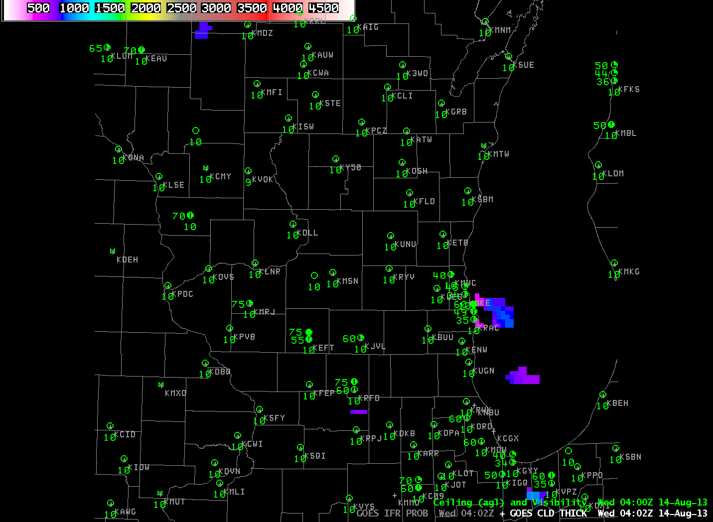
GOES-R Cloud Thickness (click image to play animation)
GOES-14 views of Valley Fog in West Virginia on this same day are available here.