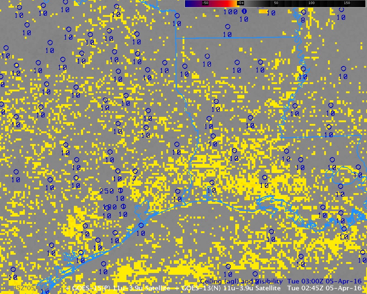
GOES-13 Brightness Temperature Difference Fields, every two hours from 0245 to 1245 UTC, 5 April 2016 (Click to enlarge)
Fog developed along the Gulf Coast of western Louisiana overnight. Brightness temperature difference fields have been used in the past to diagnose the development of fog. This capability exists because water-based clouds, such as stratus, have different emissivity properties at 3.9 µm and 10.7 µm. A water-based clouds does not emit 3.9 µm radiation as a blackbody (but it does emit 10.7 µm radiation as a blackbody). Consequently, the computed temperature of the cloud based on the detected 3.9 radiation is cooler than the temperature computed based on the detected 10.7 radiation. The animation above shows the evolution of the brightness temperature difference field, and the field is characterized by a lot of scattershot signal. Some river valley can be inferred in the signal, but the region of fog over southwestern Louisiana does not stand out.
In contrast, the GOES-R IFR Probability field, below, diagnoses an initially isolated region of enhanced IFR probabilities near stations that are reporting reduced ceilings/visibilities. The enhanced IFR Probabilities develop over southwestern Louisiana and expand outward from there (a second region develops south of Houston TX). Regions where IFR conditions do not develop have very low IFR Probabilities that persist with time.
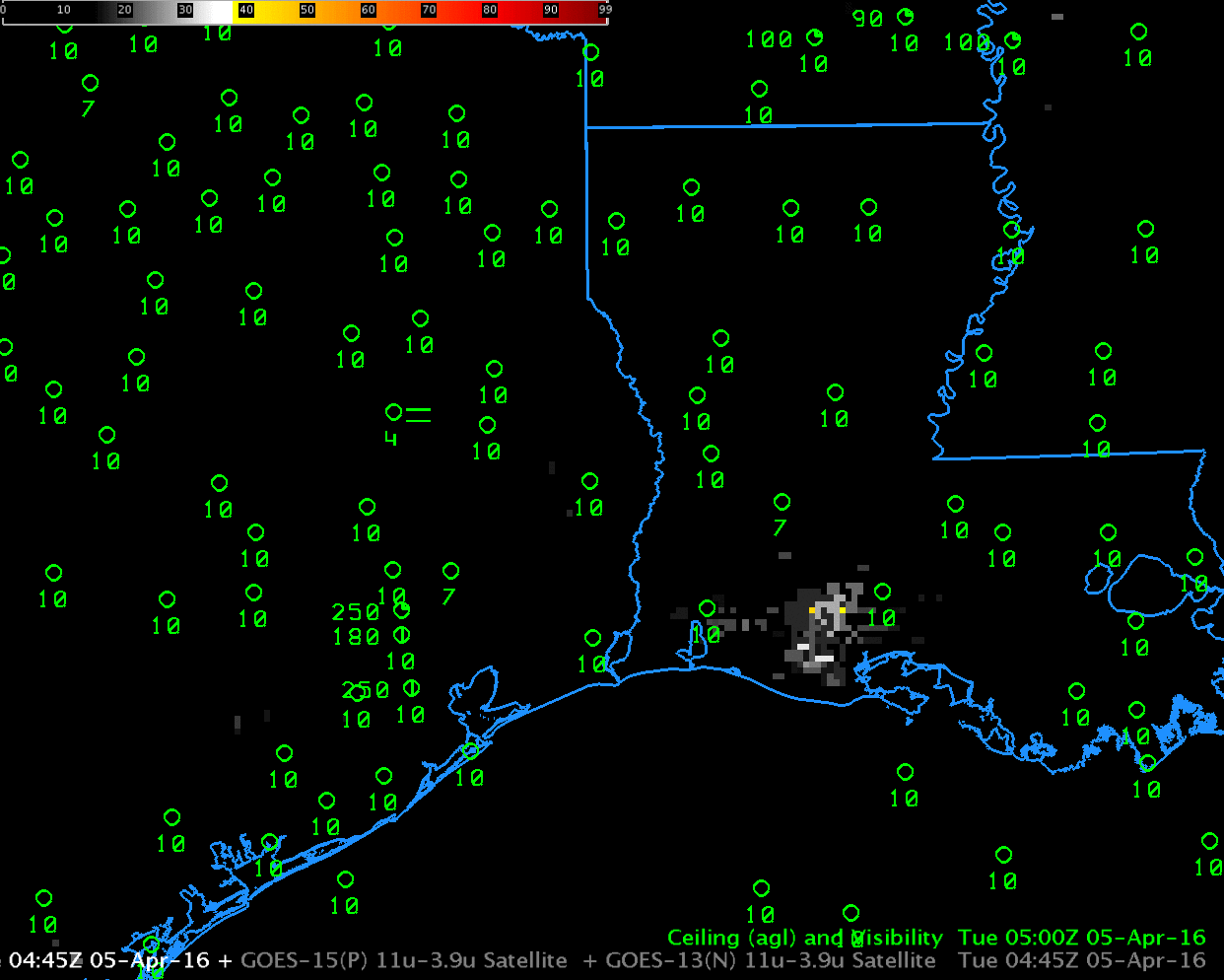
GOES-R IFR Probability Fields, every 2 hours from 0445 to 1230 UTC, 5 April 2016 (Click to enlarge)
GOES-R Cloud Thickness relates 3.9 µm emissivity to cloud thickness based on historical relationships between that value and sodar observations off the west coast of the USA. The value is not computed during twilight conditions on either side of sunrise and sunset, but the last observation taken before sunrise, shown below, is related to dissipation time according to this scatterplot. Cloud Thickness on the morning of 5 April 2016 was at most 830 feet, suggesting rapid dissipation after sunrise. This is what occurred.

GOES-R Cloud Thickness, 1145 UTC on 5 April 2016 (Click to enlarge)