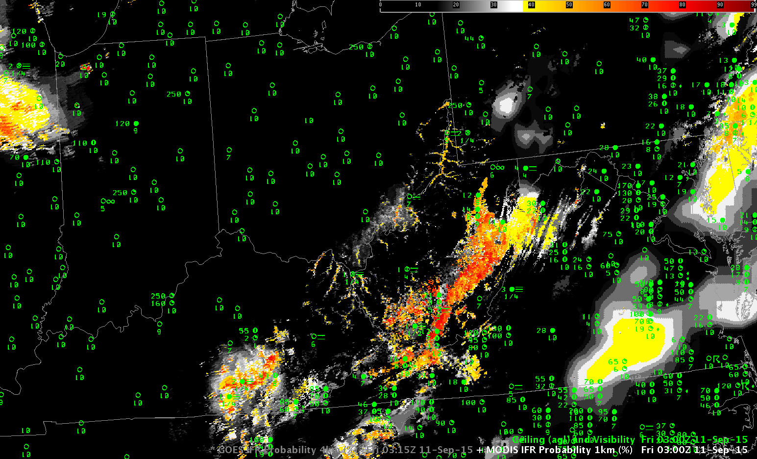
MODIS-based (0300 UTC) and GOES-based (0315) UTC GOES-R IFR Probability fields on 11 September 2015 (Click to enlarge)
MODIS data (from Terra and Aqua) and GOES data can both be used to create GOES-R IFR Probability fields. The differences between the two data sources — especially spatial resolution — are obvious in the toggle above. MODIS data can capture the development of fingers of fog that develop in small river valleys, and GOES data cannot (although, of course, a forecaster with knowledge of the topography might appropriately tailor a forecast). In the toggle above, MODIS data capture the small tributaries of the Ohio River in Ohio and West Virginia that likely contain fog at 0300 UTC (11 PM local time). GOES data smear out that information. This is true later at night as well, below, at 0715 UTC. River valleys show higher IFR Probabilities than adjacent mountains. Valley fog is easier to delineate with MODIS data than with GOES data.
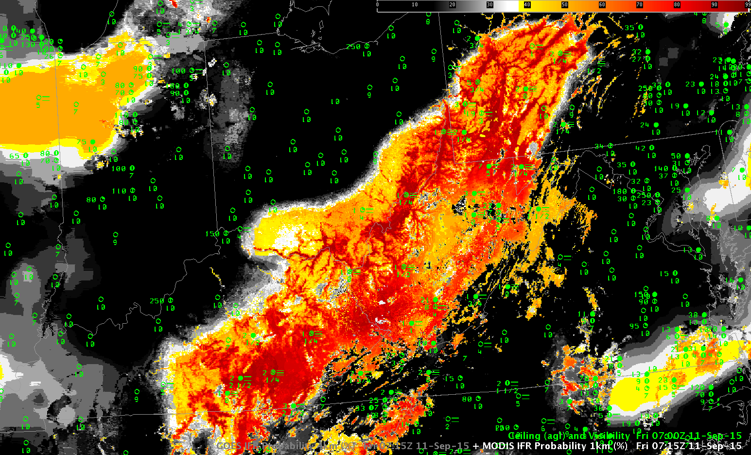
MODIS-based (0715 UTC) and GOES-based (0715) UTC GOES-R IFR Probability fields on 11 September 2015 (Click to enlarge)