 |
| GOES-R IFR Probabilities over the Midwest, 1000 UTC on 27 August 2012 |
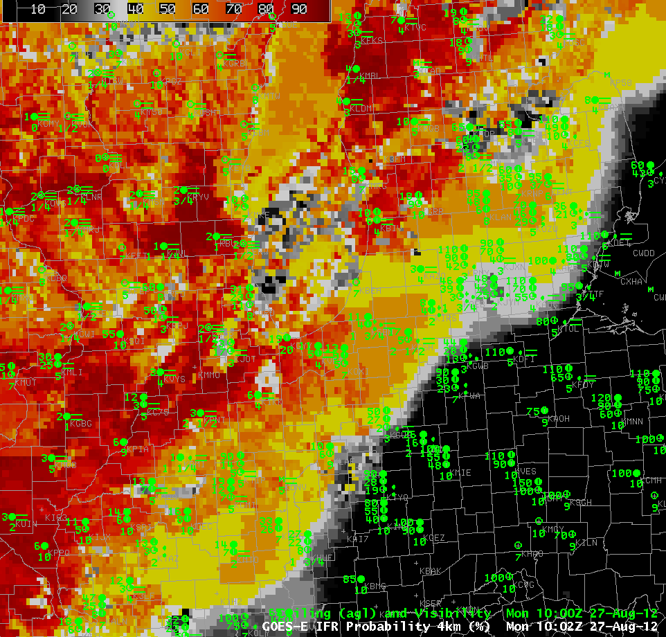
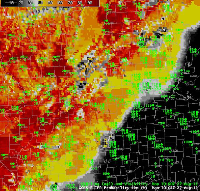
An important consideration when interpreting GOES-R IFR probabilities is the data being used to compute the probabilities. When both model and satellite data are used, higher probabilities can result, as over south central and southeastern Wisconsin in the image above where probabilities exceed 90% in a region of IFR conditions. The pixelated nature of the field there suggests that satellite data are being incorporated into the probability field. When only model data are used, as over southern Lower Michigan in the image above, lower probabilities will result; however, IFR probabilities are nevertheless observed (as in Kalamazoo (KAZO), for example). The blockier nature of the IFR probability field is showing that only model data are being used in that region. The traditional brightness temperature field for that time is shown below.
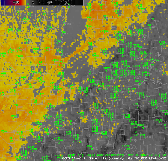 |
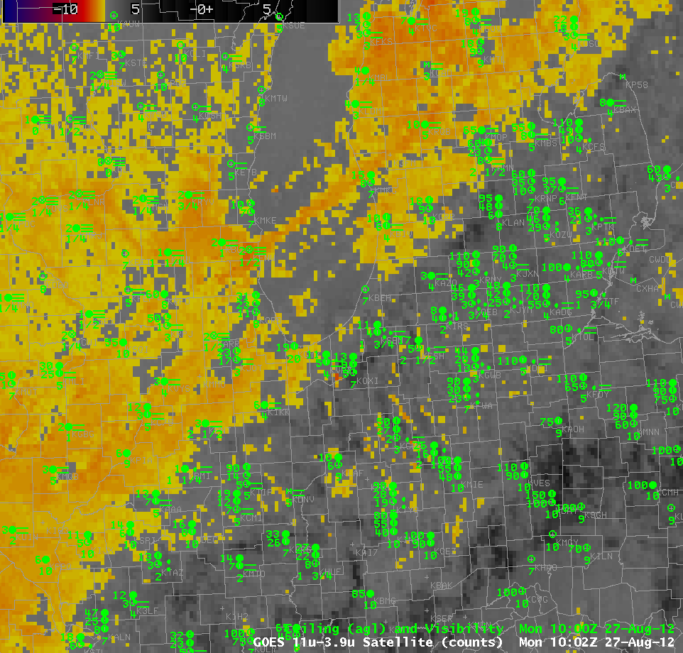
| Traditional Brightness Temperature Difference Field over the lower Great Lakes, 1002 UTC 27 August 2012. |