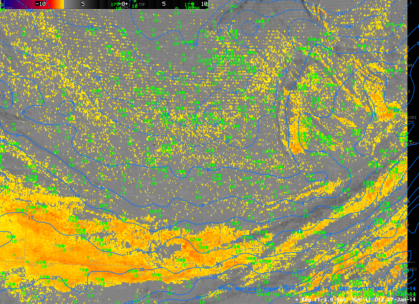
Toggle of GOES-East Brightness Temperature Difference (10.7 µm – 3.9 µm) and GOES-R IFR Probabilities at 1100 UTC, 27 January 2014 (click image to enlarge)
One more example, above, showing the effects of extreme cold on the IFR Probability. IFR Probabilities correctly ignore the regions of low stratus in advance of the extreme cold air over Kansas and over the Ohio River Valley and Great Lakes. However, because of how the pseudo-emissivity is computed (See here also), and because the Rapid Refresh model show saturation in lower levels, regions with extreme cold will show a pixelated signal with noise.