 |
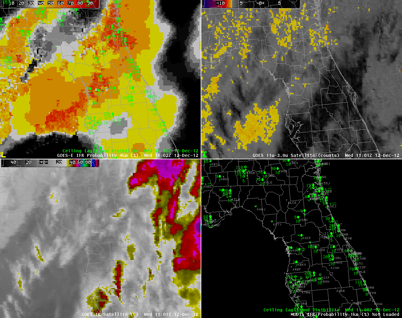
| GOES-R IFR Probabilities computed from GOES-East data (Upper left), GOES-East traditional brightness temperature difference product (Upper right), GOES-East 10.7 µm imagery (Lower left), Surface observations of ceiling/visibility (Lower right) |
Weather over Florida on 12 December 2012 gives another example of the importance of fused data products in computing IFR probabilities/detecting low clouds and fog. When mulitple cloud layers are present, as today over Florida, the traditional brightness temperature difference product (10.7 µm – 3.9 µm) can struggle to produce a useful signal. Adding information about the lowest part of the atmosphere from the Rapid Refresh model, however, allows a coherent prediction of IFR probabilities to be made. Note that the stations with the most significant reductions in ceilings/visibility do align with the stripe of higher IFR probability over the northern part of the Florida peninsula.