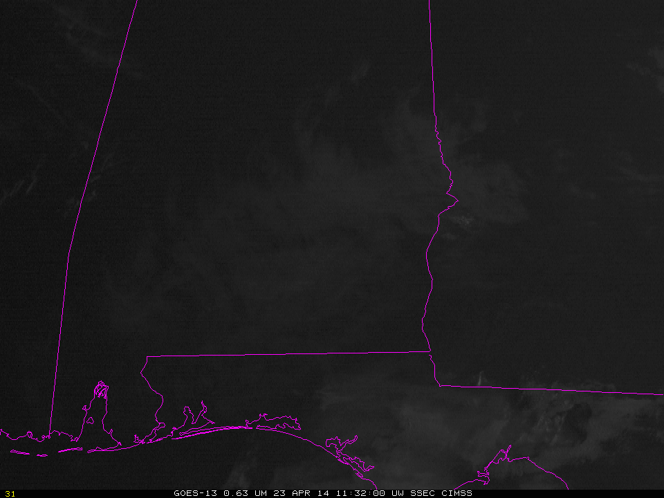
GOES-13 Visible Imagery (0.63 µm), Times as Indicated (click to enlarge)
GOES-R Fog/Low Stratus products can be used to estimate the time of fog dissipation, an example of which dissipation from 23 April 2014 is shown above (complete with a temporary hole in the subsequent cumulus development). Complete dissipation of the radiation fog occurred by 1632 UTC. This chart is a scatterplot of GOES-R Cloud Thickness in the last pre-sunrise image vs. dissipation time (measured as hours after that pre-sunrise image). The 1100 UTC GOES-R Cloud Thickness is shown below; it is the last pre-sunrise image over Alabama (note that no values are present over Georgia because twilight conditions are present there). GOES-R Cloud Thickness values in the foggy region (where IFR Probabilities are high, and where ceilings are low and visibilities obstructed) are around 1000 feet. Values from the best-fit line at this link suggest, then, a dissipation time of a little over 3 hours, but the spread of values shown in the scatterplot is from less than two hours to more than four. In this present example, fog dissipated after about five hours. IFR conditions ended after about three hours.
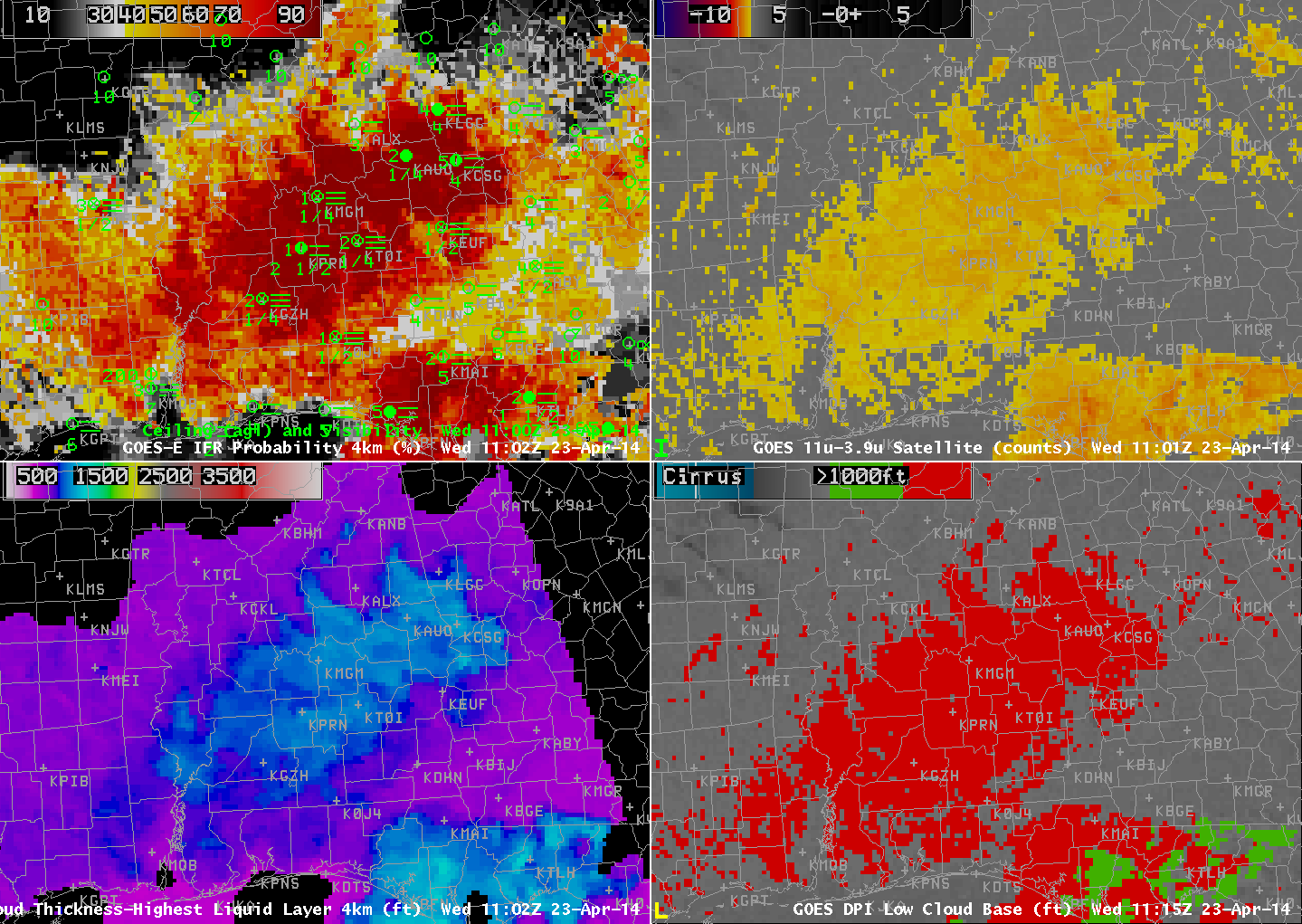
GOES-R IFR Probabilities computed from GOES-East (Upper Left), GOES-East Brightness Temperature Differences (10.7 µm – 3.9 µm) (Upper Right), GOES-R Cloud Thickness (Lower Left), GOES-13 Heritage Low Cloud Base Product (Lower Right), 1102 UTC on 23 April 2014 (click to enlarge)