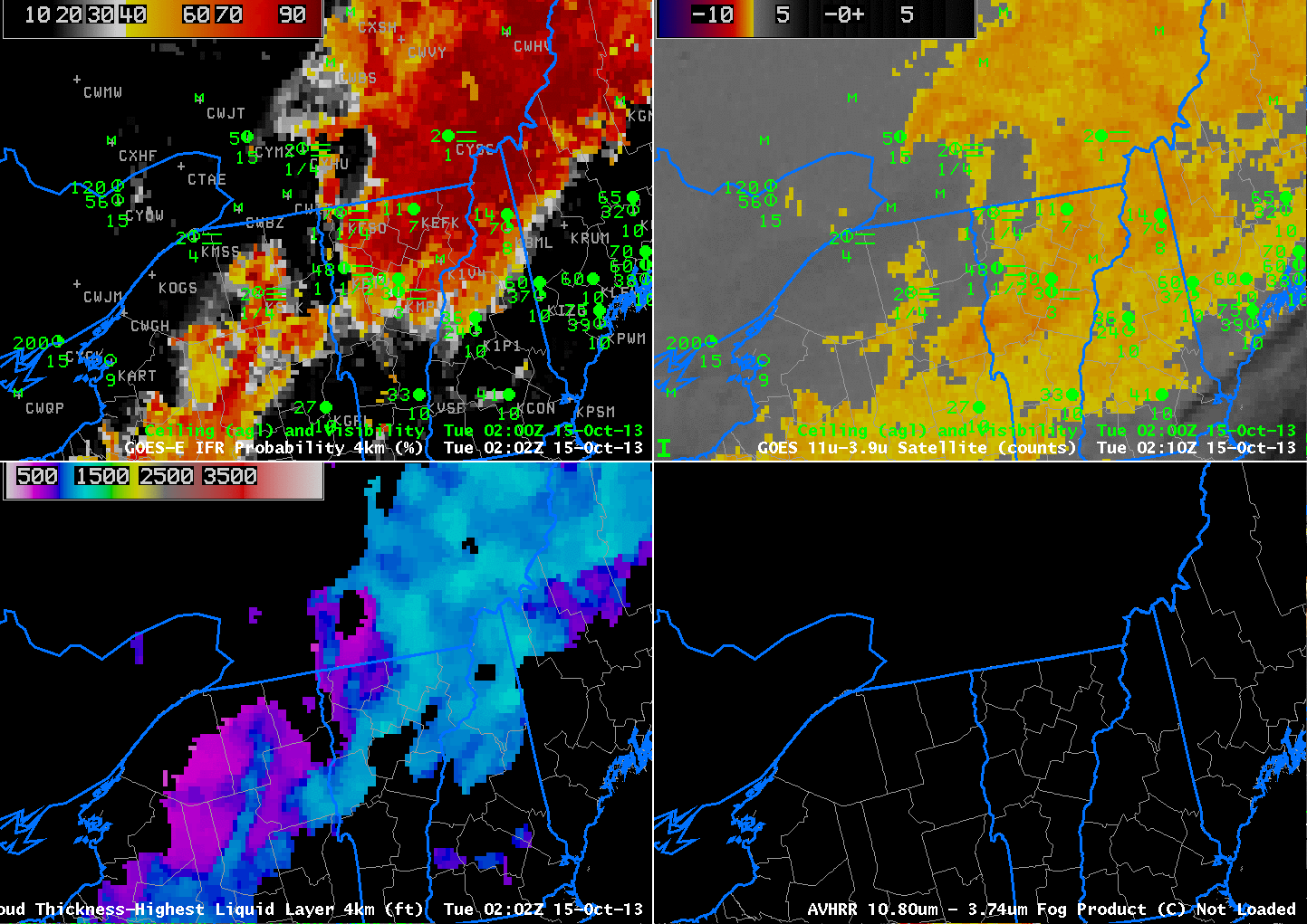
GOES-13-based GOES-R IFR Probabilities (Upper Left), GOES-13 Brightness Temperature Difference Product (10.7 µm – 3.9 µm) (Upper Right), GOES-13-based GOES-R Cloud Thickness (Lower Left), AVHRR Brightness Temperature Difference (10.8 µm – 3.74 µm) (Lower Right), all times as indicated (click image to enlarge)
High Pressure over southern Quebec allowed for light winds over northern New England, and fog and low stratus developed. The animation above shows the benefit of the fused product; when mid- and high-level clouds are present in the satellite field of view, the brightness temperature difference product loses the ability to detect fog and low stratus. Data from the Rapid Refresh Model will be used in these regions to produce an IFR Probability Field. Note how Burlington, VT, for example, reports IFR conditions. The brightness temperature difference product has only a small signal over Burlington, but IFR Probabilities are high.