 |
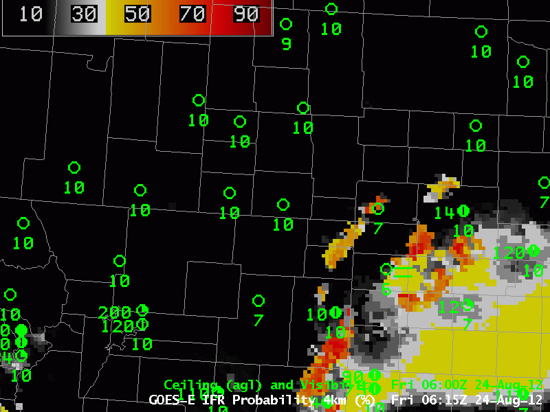
| GOES-R IFR Probabilities over Colorado, Kansas and Nebraska, hourly from 0615 UTC to 1415 UTC on 24 August 2012 |
The loop above shows the importance of satellite data in the GOES-R Fog product. Only the Satellite information will have sharp cut-offs that are apparent in this imagery. (The character of the GOES-R IFR field that is described mostly by model data is apparent in the southeast part of this domain at the beginning of the loop when a convective system is moving eastward out of the domina). Smoothing in model data typically means that sharp cutoffs will not exist. Note the visibility in Akron, CO, in the center of the image, agrees very well with the GOES-R IFR field.